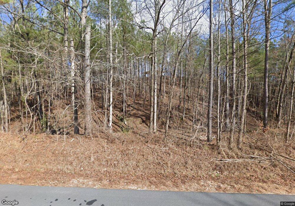
3370 Rock Creek Rd SW Calhoun, GA 30701
Estimated Value: $536,000 - $607,596
3
Beds
4
Baths
2,640
Sq Ft
$219/Sq Ft
Est. Value
About This Home
This home is located at 3370 Rock Creek Rd SW, Calhoun, GA 30701 and is currently estimated at $577,865, approximately $218 per square foot. 3370 Rock Creek Rd SW is a home with nearby schools including Swain Elementary School, Ashworth Middle School, and Gordon Central High School.
Ownership History
Date
Name
Owned For
Owner Type
Purchase Details
Closed on
Dec 8, 2011
Sold by
Abernathy Elmo Dale
Bought by
Abernathy Eric Dale
Current Estimated Value
Purchase Details
Closed on
Jun 10, 2010
Sold by
Abernathy Eric Dale
Bought by
Mcdougal John Whatley Blake
Create a Home Valuation Report for This Property
The Home Valuation Report is an in-depth analysis detailing your home's value as well as a comparison with similar homes in the area
Home Values in the Area
Average Home Value in this Area
Purchase History
| Date | Buyer | Sale Price | Title Company |
|---|---|---|---|
| Abernathy Eric Dale | -- | -- | |
| Mcdougal John Whatley Blake | $76,000 | -- |
Source: Public Records
Tax History Compared to Growth
Tax History
| Year | Tax Paid | Tax Assessment Tax Assessment Total Assessment is a certain percentage of the fair market value that is determined by local assessors to be the total taxable value of land and additions on the property. | Land | Improvement |
|---|---|---|---|---|
| 2024 | $3,998 | $167,480 | $12,560 | $154,920 |
| 2023 | $3,749 | $157,720 | $12,560 | $145,160 |
| 2022 | $3,722 | $148,000 | $12,560 | $135,440 |
| 2021 | $3,281 | $127,400 | $12,560 | $114,840 |
| 2020 | $3,386 | $128,560 | $12,560 | $116,000 |
| 2019 | $3,119 | $138,160 | $12,560 | $125,600 |
| 2018 | $3,333 | $126,200 | $12,560 | $113,640 |
| 2017 | $3,268 | $138,080 | $29,840 | $108,240 |
| 2016 | $2,897 | $139,480 | $29,840 | $109,640 |
| 2015 | $69 | $39,600 | $39,600 | $0 |
| 2014 | $67 | $39,609 | $39,609 | $0 |
Source: Public Records
Map
Nearby Homes
- 821 Everett Springs Rd NE
- 496 Flat Woods Rd
- 0 Culpepper Rd NE Unit 7592082
- 0 Culpepper Rd NE Unit 7651484
- 0 Culpepper Rd NE Unit TRACT 1 & 2 10607389
- 0 Culpepper Rd NE Unit 10536672
- 0 Culpepper Rd NE Unit TRACT 1 10540091
- 0 Culpepper Rd NE Unit TRACT 2 10540088
- 1216 Everett Springs Rd NE
- 260 Lovers Ln NE
- 325 Everett Springs Rd
- 2108 Roland Hayes Pkwy SW
- 1434 Culpepper Rd NE
- 5452 Old Dalton Rd NE
- 515 Hunt Bend Rd NW
- 1500 Moores Ferry Rd SW
- 301 Switch Rd SW
- 0 Autry Rd SW Unit 414481
- 0 Autry Rd SW Unit 7549643
- 0 Autry Rd SW Unit 23053843
- 3334 Rock Creek Rd SW
- 3454 Rock Creek Rd SW
- 3339 Rock Creek Rd SW
- 3576 Rock Creek Rd SW
- 3526 Rock Creek Rd SW
- 3144 Rock Creek Rd SW
- 3137 Rock Creek Rd SW
- 1568 Rock Creek Rd SW
- 1711 Rock Creek Rd SW
- 3136 Rock Creek Rd SW
- 1342 Rock Creek Rd SW
- 1342 Rock Creek Rd SW
- 1781 Rock Creek Rd SW
- 2990 Rock Creek Rd SW
- 1751 Rock Creek Rd SW
- 1823 Rock Creek Rd SW
- 2993 Rock Creek Rd SW
- 1815 Rock Creek Rd SW
- 1459 Rock Creek Rd SW
- 2995 Rock Creek Rd SW
