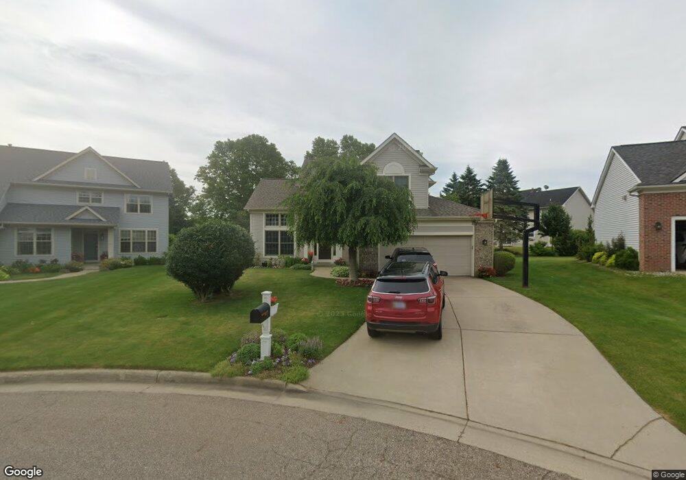
3371 Hampstead Ct Unit 30 Portage, MI 49024
Estimated Value: $391,142 - $432,000
3
Beds
4
Baths
1,782
Sq Ft
$234/Sq Ft
Est. Value
About This Home
This home is located at 3371 Hampstead Ct Unit 30, Portage, MI 49024 and is currently estimated at $416,536, approximately $233 per square foot. 3371 Hampstead Ct Unit 30 is a home located in Kalamazoo County with nearby schools including Moorsbridge Elementary School, Portage West Middle School, and Portage Central High School.
Ownership History
Date
Name
Owned For
Owner Type
Purchase Details
Closed on
Feb 28, 2011
Sold by
Larason Michelle L and Hurry Michelle L
Bought by
Wytko Daniel J and Wytko Amy D
Current Estimated Value
Home Financials for this Owner
Home Financials are based on the most recent Mortgage that was taken out on this home.
Original Mortgage
$167,600
Outstanding Balance
$115,104
Interest Rate
4.78%
Mortgage Type
New Conventional
Estimated Equity
$301,432
Purchase Details
Closed on
Jul 11, 2005
Sold by
Gates Jeanne M
Bought by
Hurry Michelle L
Home Financials for this Owner
Home Financials are based on the most recent Mortgage that was taken out on this home.
Original Mortgage
$200,000
Interest Rate
5.68%
Mortgage Type
Fannie Mae Freddie Mac
Create a Home Valuation Report for This Property
The Home Valuation Report is an in-depth analysis detailing your home's value as well as a comparison with similar homes in the area
Home Values in the Area
Average Home Value in this Area
Purchase History
| Date | Buyer | Sale Price | Title Company |
|---|---|---|---|
| Wytko Daniel J | $209,500 | Devon Title Company | |
| Hurry Michelle L | $250,000 | Devon Title |
Source: Public Records
Mortgage History
| Date | Status | Borrower | Loan Amount |
|---|---|---|---|
| Open | Wytko Daniel J | $167,600 | |
| Previous Owner | Hurry Michelle L | $200,000 |
Source: Public Records
Tax History Compared to Growth
Tax History
| Year | Tax Paid | Tax Assessment Tax Assessment Total Assessment is a certain percentage of the fair market value that is determined by local assessors to be the total taxable value of land and additions on the property. | Land | Improvement |
|---|---|---|---|---|
| 2025 | $6,090 | $184,000 | $0 | $0 |
| 2024 | $5,362 | $164,900 | $0 | $0 |
| 2023 | $5,111 | $150,000 | $0 | $0 |
| 2022 | $5,522 | $140,400 | $0 | $0 |
| 2021 | $5,337 | $139,100 | $0 | $0 |
| 2020 | $5,221 | $128,500 | $0 | $0 |
| 2019 | $470 | $127,500 | $0 | $0 |
| 2018 | $0 | $121,500 | $0 | $0 |
| 2017 | $0 | $117,000 | $0 | $0 |
| 2016 | -- | $119,500 | $0 | $0 |
| 2015 | -- | $113,200 | $0 | $0 |
| 2014 | -- | $110,500 | $0 | $0 |
Source: Public Records
Map
Nearby Homes
- 7236 Hampstead Ln Unit 18
- 3320 Scots Pine Way Unit 2
- 7481 Turnberry Ct
- 3522 Bellflower Dr
- 3653 Tartan Cir
- 7464 Saint George Cir
- 6876 Towhee St
- 3737 Bellflower Dr
- 3638 Bellflower Dr
- 3318 Davcliff Ave
- 7639 Dunross Dr
- 6645 Oleander Ln
- 6740 Amberly St
- 2604 Radcliffe Ave
- 2801 Daventry Ave
- 7160 Crown Pointe Cir
- 4280 Romence Rd
- 6605 Rothbury St
- 7922 Kilmory Cir
- 6748 Trotwood St
- 3355 Hampstead Ct Unit 29
- 3397 Hampstead Ct
- 7275 Hampstead Ln Unit 35
- 7265 Hampstead Ln Unit 34
- 7285 Hampstead Ln
- 7233 Hampstead Ln Unit 32
- 7241 Hampstead Ln Unit 33
- 3362 Hampstead Ct
- 3382 Hampstead Ct Unit 26
- 3404 Hampstead Ct Unit 25
- 3424 Hampstead Ct Unit 24
- 7291 Hampstead Ln
- 7138 Moorsbridge Rd
- 7282 Hampstead Ln
- 7270 Hampstead Ln Unit 14
- 7246 Hampstead Ln Unit 17
- 3448 Hampstead Ct Unit 23
- 7252 Hampstead Ln Unit 16
- 7302 Hampstead Ln Unit 12
- 3479 Hampstead Ct Unit 19