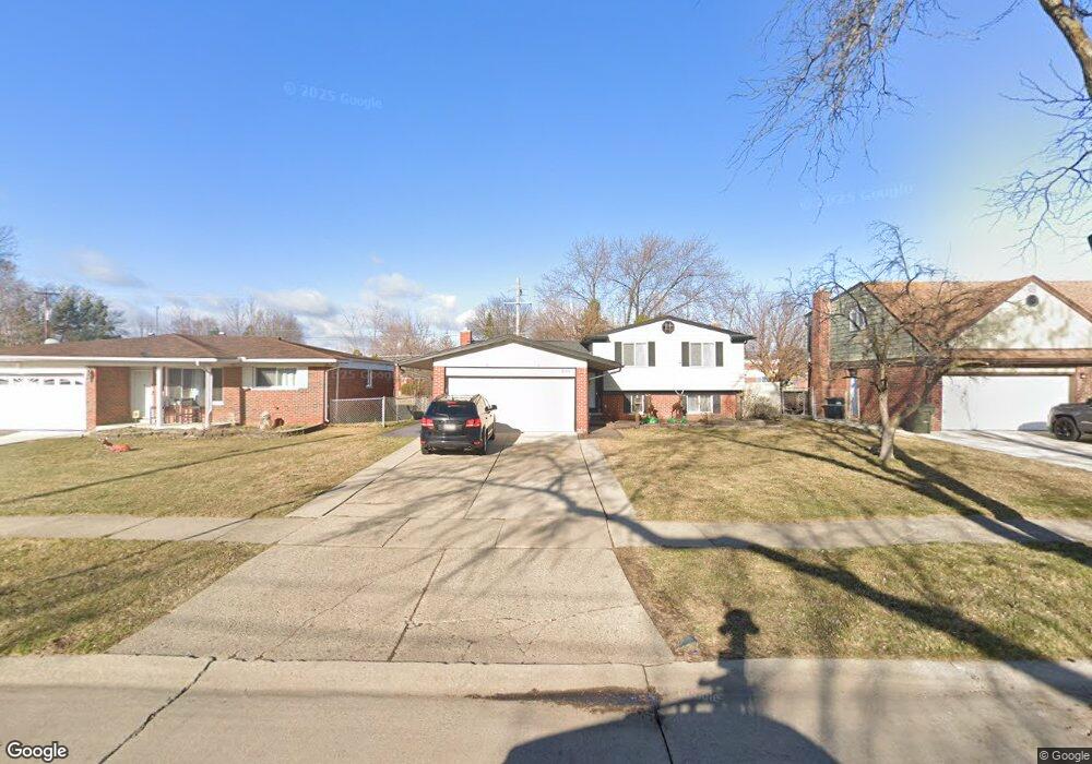
33721 Richard O Dr Sterling Heights, MI 48310
Estimated Value: $284,889 - $332,000
3
Beds
2
Baths
1,656
Sq Ft
$185/Sq Ft
Est. Value
About This Home
This home is located at 33721 Richard O Dr, Sterling Heights, MI 48310 and is currently estimated at $306,722, approximately $185 per square foot. 33721 Richard O Dr is a home located in Macomb County with nearby schools including Angus Elementary School, Grissom Middle School, and Warren Mott High School.
Ownership History
Date
Name
Owned For
Owner Type
Purchase Details
Closed on
Dec 5, 2008
Sold by
Bellew Scott A and Bellew Darla C
Bought by
Deutsche Bank National Trust Company
Current Estimated Value
Purchase Details
Closed on
May 27, 1999
Sold by
Bellew Scott A
Bought by
Bellew Scott A
Purchase Details
Closed on
Apr 18, 1997
Sold by
Garbarino C and Garbarino J
Bought by
Bellew S and Bellew S
Create a Home Valuation Report for This Property
The Home Valuation Report is an in-depth analysis detailing your home's value as well as a comparison with similar homes in the area
Home Values in the Area
Average Home Value in this Area
Purchase History
| Date | Buyer | Sale Price | Title Company |
|---|---|---|---|
| Deutsche Bank National Trust Company | $47,500 | None Available | |
| Bellew Scott A | -- | -- | |
| Bellew S | $138,000 | -- |
Source: Public Records
Tax History Compared to Growth
Tax History
| Year | Tax Paid | Tax Assessment Tax Assessment Total Assessment is a certain percentage of the fair market value that is determined by local assessors to be the total taxable value of land and additions on the property. | Land | Improvement |
|---|---|---|---|---|
| 2025 | $3,166 | $127,100 | $0 | $0 |
| 2024 | $3,054 | $121,400 | $0 | $0 |
| 2023 | $2,899 | $107,600 | $0 | $0 |
| 2022 | $2,811 | $93,500 | $0 | $0 |
| 2021 | $2,905 | $88,600 | $0 | $0 |
| 2020 | $2,762 | $83,600 | $0 | $0 |
| 2019 | $2,723 | $82,700 | $0 | $0 |
| 2018 | $2,745 | $78,200 | $0 | $0 |
| 2017 | $2,649 | $75,900 | $15,000 | $60,900 |
| 2016 | $2,593 | $75,900 | $0 | $0 |
| 2015 | -- | $70,200 | $0 | $0 |
| 2014 | -- | $58,500 | $0 | $0 |
Source: Public Records
Map
Nearby Homes
- 33569 Breckenridge Dr
- 3528 Byrd Dr
- 3538 Cero Dr
- 3040 Alden Dr
- 33735 Kennedy Dr
- 33288 Viceroy Dr
- 2600 Pall Mall Dr
- 2630 Pall Mall Dr
- 34544 Sandwood Dr
- 33731 Newport Dr
- 34579 Hawke Dr
- 3868 Elvera Ln Unit 11
- 32603 Dowland Dr
- 2528 Koper Dr
- 2268 Serra Dr
- 32805 Hawthorne Dr
- 2269 Serra Dr
- 5575 E 14 Mile Rd
- 4580 Hampton Ct N
- 32291 Ryan Rd
- 33733 Richard O Dr
- 33709 Richard O Dr
- 33597 Richard O Dr
- 33765 Richard O Dr
- 3511 Barbara Dr
- 33586 Breckenridge Dr
- 33598 Breckenridge Dr
- 33585 Richard O Dr
- 3525 Barbara Dr
- 3508 Barbara Dr
- 33574 Breckenridge Dr
- 33573 Richard O Dr
- 3520 Hein Dr
- 33819 Richard O Dr
- 3195 Firestone Dr
- 3522 Barbara Dr
- 3539 Barbara Dr
- 33561 Richard O Dr
- 33562 Breckenridge Dr
- 33568 Richard O Dr