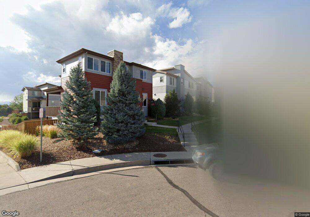
3373 Cranston Cir Highlands Ranch, CO 80126
Northridge NeighborhoodEstimated Value: $615,828 - $630,000
3
Beds
3
Baths
2,457
Sq Ft
$254/Sq Ft
Est. Value
About This Home
This home is located at 3373 Cranston Cir, Highlands Ranch, CO 80126 and is currently estimated at $622,914, approximately $253 per square foot. 3373 Cranston Cir is a home located in Douglas County with nearby schools including Summit View Elementary School, Mountain Ridge Middle School, and Mountain Vista High School.
Ownership History
Date
Name
Owned For
Owner Type
Purchase Details
Closed on
Mar 28, 2014
Sold by
Boullosa Andres and Jimenez Monica F
Bought by
Popal Bashir A and Popal Hosay S
Current Estimated Value
Home Financials for this Owner
Home Financials are based on the most recent Mortgage that was taken out on this home.
Original Mortgage
$301,500
Outstanding Balance
$229,799
Interest Rate
4.41%
Mortgage Type
New Conventional
Estimated Equity
$393,115
Purchase Details
Closed on
May 30, 2012
Sold by
Shea Homes Limited Partnership
Bought by
Boullosa Andres and Jiminez Monica F
Home Financials for this Owner
Home Financials are based on the most recent Mortgage that was taken out on this home.
Original Mortgage
$253,910
Interest Rate
3.86%
Mortgage Type
New Conventional
Create a Home Valuation Report for This Property
The Home Valuation Report is an in-depth analysis detailing your home's value as well as a comparison with similar homes in the area
Home Values in the Area
Average Home Value in this Area
Purchase History
| Date | Buyer | Sale Price | Title Company |
|---|---|---|---|
| Popal Bashir A | $335,000 | Guardian Title | |
| Boullosa Andres | $267,274 | Fidelity National Title Insu |
Source: Public Records
Mortgage History
| Date | Status | Borrower | Loan Amount |
|---|---|---|---|
| Open | Popal Bashir A | $301,500 | |
| Previous Owner | Boullosa Andres | $253,910 |
Source: Public Records
Tax History Compared to Growth
Tax History
| Year | Tax Paid | Tax Assessment Tax Assessment Total Assessment is a certain percentage of the fair market value that is determined by local assessors to be the total taxable value of land and additions on the property. | Land | Improvement |
|---|---|---|---|---|
| 2024 | $3,778 | $43,760 | $9,440 | $34,320 |
| 2023 | $3,771 | $43,760 | $9,440 | $34,320 |
| 2022 | $2,831 | $30,990 | $6,960 | $24,030 |
| 2021 | $2,945 | $30,990 | $6,960 | $24,030 |
| 2020 | $2,842 | $30,640 | $5,880 | $24,760 |
| 2019 | $2,852 | $30,640 | $5,880 | $24,760 |
| 2018 | $2,555 | $27,040 | $5,550 | $21,490 |
| 2017 | $2,327 | $27,040 | $5,550 | $21,490 |
| 2016 | $2,080 | $23,720 | $4,850 | $18,870 |
| 2015 | $1,062 | $23,720 | $4,850 | $18,870 |
| 2014 | $2,023 | $20,860 | $5,170 | $15,690 |
Source: Public Records
Map
Nearby Homes
- 9537 Rosato Ct
- 9550 Rosato Ct
- 9566 Firenze Way
- 9518 Loggia St Unit A
- 9452 Loggia St Unit C
- 3350 Cascina Cir Unit D
- 9472 Sori Ln
- 9470 Sori Ln
- 9648 Bellmore Place
- 9635 Cherryvale Dr
- 3970 White Bay Dr
- 9897 Aftonwood St
- 9773 Saybrook St
- 9867 Aftonwood St
- 9946 Wyecliff Dr
- 9409 Prairie View Dr
- 9603 Chesapeake St
- 2249 Weatherstone Cir
- 10213 Cherryhurst Ln
- 10191 Sagecrest St
- 3375 Cranston Cir
- 3371 Cranston Cir
- 3377 Cranston Cir
- 3383 Cranston Cir
- 3385 Cranston Cir
- 3365 Cranston Cir
- 3381 Cranston Cir
- 3363 Cranston Cir
- 3367 Cranston Cir
- 3407 Cranston Cir
- 3361 Cranston Cir
- 3405 Cranston Cir
- 3394 Cranston Cir
- 3351 Cranston Cir
- 3387 Cranston Cir
- 3403 Cranston Cir
- 3353 Cranston Cir
- 3392 Cranston Cir
- 3349 Cranston Cir
- 3355 Cranston Cir