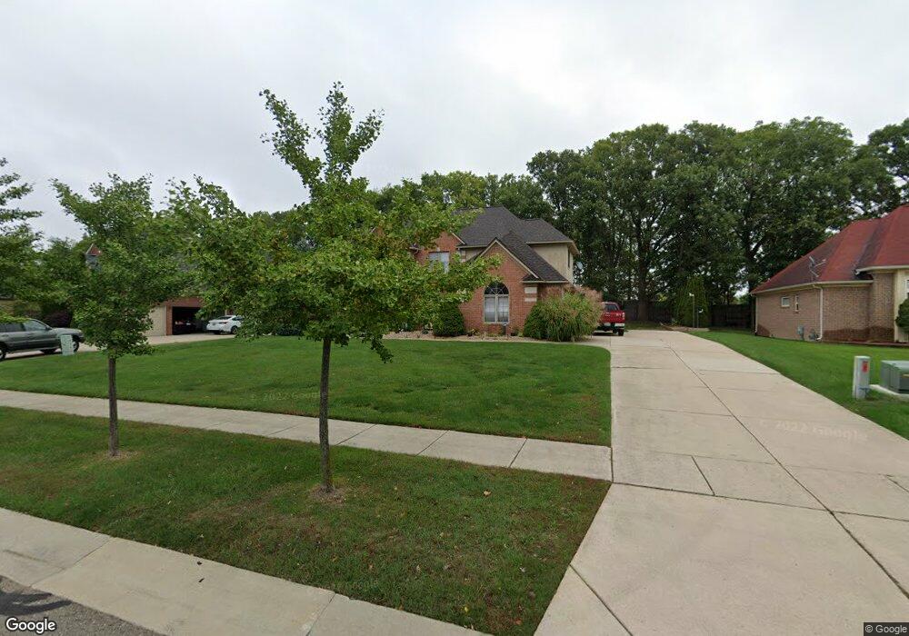
3374 Paramount Ln Unit 41 Auburn Hills, MI 48326
Estimated Value: $528,000 - $571,000
4
Beds
3
Baths
3,038
Sq Ft
$181/Sq Ft
Est. Value
About This Home
This home is located at 3374 Paramount Ln Unit 41, Auburn Hills, MI 48326 and is currently estimated at $550,465, approximately $181 per square foot. 3374 Paramount Ln Unit 41 is a home located in Oakland County with nearby schools including Rogers Elementary, Pontiac Middle School, and Pontiac High School.
Ownership History
Date
Name
Owned For
Owner Type
Purchase Details
Closed on
Nov 25, 2002
Sold by
Hughes Michael Karlos and Hughes Joanne M
Bought by
Loesch Michael P and Loesch Kathleen A
Current Estimated Value
Purchase Details
Closed on
Nov 27, 2000
Sold by
Maras Dlojevic
Bought by
Hughes Michael K
Home Financials for this Owner
Home Financials are based on the most recent Mortgage that was taken out on this home.
Original Mortgage
$298,800
Interest Rate
7.83%
Create a Home Valuation Report for This Property
The Home Valuation Report is an in-depth analysis detailing your home's value as well as a comparison with similar homes in the area
Home Values in the Area
Average Home Value in this Area
Purchase History
| Date | Buyer | Sale Price | Title Company |
|---|---|---|---|
| Loesch Michael P | $344,500 | -- | |
| Hughes Michael K | $332,165 | -- |
Source: Public Records
Mortgage History
| Date | Status | Borrower | Loan Amount |
|---|---|---|---|
| Previous Owner | Hughes Michael K | $298,800 |
Source: Public Records
Tax History Compared to Growth
Tax History
| Year | Tax Paid | Tax Assessment Tax Assessment Total Assessment is a certain percentage of the fair market value that is determined by local assessors to be the total taxable value of land and additions on the property. | Land | Improvement |
|---|---|---|---|---|
| 2024 | $2,686 | $229,920 | $0 | $0 |
| 2023 | $2,562 | $209,510 | $0 | $0 |
| 2022 | $4,524 | $188,450 | $0 | $0 |
| 2021 | $4,453 | $176,530 | $0 | $0 |
| 2020 | $2,412 | $175,540 | $0 | $0 |
| 2019 | $4,089 | $173,710 | $0 | $0 |
| 2018 | $4,001 | $164,750 | $0 | $0 |
| 2017 | $3,920 | $164,720 | $0 | $0 |
| 2016 | $3,894 | $159,600 | $0 | $0 |
| 2015 | -- | $143,950 | $0 | $0 |
| 2014 | -- | $135,700 | $0 | $0 |
| 2011 | -- | $116,480 | $0 | $0 |
Source: Public Records
Map
Nearby Homes
- 3879 Teakwood Ln
- 3232 Paramount Ln
- 3634 Camden Ct
- 3095 Bridgewater Rd Unit 30
- 3654 Fairgrove Ln Unit 165
- 391 Silvervale Dr
- 3890 Hillsdale Dr
- 3057 Bridgewater Rd
- 423 Silvervale Dr
- 753 Medinah Dr
- 404 Shellbourne Dr
- 3399 Shimmons Rd
- 1102 Cobridge Dr
- 4070 Blue Heron Dr
- 3377 Charlwood Dr
- 3111 Ramzi Ln
- 5555 Walton Blvd
- 7777 Walton Blvd
- 3420 Grove Ln
- 4444 Walton Blvd
- 3358 Paramount Ln Unit 40
- 3390 Paramount Ln
- 3363 Paramount Ln Unit 69
- 3342 Paramount Ln
- 3349 Paramount Ln Unit 68
- 3406 Paramount Ln
- 3377 Paramount Ln
- 3910 Coachwood Ln
- 3335 Paramount Ln Unit 67
- 3391 Paramount Ln
- 3422 Paramount Ln
- 3321 Paramount Ln Unit Bldg-Unit
- 3321 Paramount Ln
- 3330 Paramount Ln
- 3384 Oxford W Unit 52
- 3402 Oxford W
- 3405 Paramount Ln
- 829 Crestwood Ln
- 3366 Oxford W
- 3420 Oxford W Unit 50