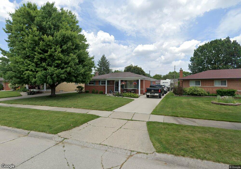
33764 Brownlea Dr Sterling Heights, MI 48312
Estimated Value: $269,648 - $301,000
3
Beds
1
Bath
1,323
Sq Ft
$220/Sq Ft
Est. Value
About This Home
This home is located at 33764 Brownlea Dr, Sterling Heights, MI 48312 and is currently estimated at $291,162, approximately $220 per square foot. 33764 Brownlea Dr is a home located in Macomb County with nearby schools including Black Elementary School, Carleton Middle School, and Paul K. Cousino High School.
Ownership History
Date
Name
Owned For
Owner Type
Purchase Details
Closed on
Jun 13, 2007
Sold by
Nemeth Sharon L and Kruczek Sharon
Bought by
Nemeth Sharon L and Nemeth William P
Current Estimated Value
Home Financials for this Owner
Home Financials are based on the most recent Mortgage that was taken out on this home.
Original Mortgage
$190,000
Interest Rate
6.37%
Mortgage Type
Stand Alone Refi Refinance Of Original Loan
Purchase Details
Closed on
May 10, 1999
Sold by
Messina Jack
Bought by
Holt Sfiaron L
Create a Home Valuation Report for This Property
The Home Valuation Report is an in-depth analysis detailing your home's value as well as a comparison with similar homes in the area
Home Values in the Area
Average Home Value in this Area
Purchase History
| Date | Buyer | Sale Price | Title Company |
|---|---|---|---|
| Nemeth Sharon L | -- | Title One Inc | |
| Holt Sfiaron L | $146,000 | -- |
Source: Public Records
Mortgage History
| Date | Status | Borrower | Loan Amount |
|---|---|---|---|
| Previous Owner | Nemeth Sharon L | $190,000 |
Source: Public Records
Tax History Compared to Growth
Tax History
| Year | Tax Paid | Tax Assessment Tax Assessment Total Assessment is a certain percentage of the fair market value that is determined by local assessors to be the total taxable value of land and additions on the property. | Land | Improvement |
|---|---|---|---|---|
| 2025 | $2,970 | $125,600 | $0 | $0 |
| 2024 | $2,865 | $117,300 | $0 | $0 |
| 2023 | $2,720 | $105,900 | $0 | $0 |
| 2022 | $2,638 | $98,500 | $0 | $0 |
| 2021 | $2,726 | $93,400 | $0 | $0 |
| 2020 | $2,592 | $88,400 | $0 | $0 |
| 2019 | $2,433 | $82,600 | $0 | $0 |
| 2018 | $2,578 | $74,400 | $0 | $0 |
| 2017 | $2,485 | $69,400 | $14,400 | $55,000 |
| 2016 | $2,433 | $69,400 | $0 | $0 |
| 2015 | -- | $64,100 | $0 | $0 |
| 2014 | -- | $55,700 | $0 | $0 |
Source: Public Records
Map
Nearby Homes
- 33487 Mina Dr
- 33555 Groth Dr
- 34137 Old Forge Ct
- 33828 Stonewood Dr
- 33732 Stonewood Dr
- 33333 Groth Dr
- 34308 Greentrees Rd
- 14712 Emerson Dr
- 34398 Greentrees Rd
- 34400 Preston Dr
- 33076 Mccoy Dr
- 34458 Heartsworth Ln
- 33230 Morrison Ct
- 14169 Wedgewood Rd
- 33042 Mccoy Dr
- 13663 Riverwood Dr
- 34495 Orsini Dr
- 34642 Giannetti Dr
- 34463 Manor Run Cir
- 13139 Highland Cir Unit 70
- 33782 Brownlea Dr
- 33746 Brownlea Dr
- 33806 Brownlea Dr
- 33728 Brownlea Dr
- 33689 Mina Dr
- 33703 Mina Dr
- 33675 Mina Dr
- 33717 Mina Dr
- 33824 Brownlea Dr
- 33712 Brownlea Dr
- 33763 Brownlea Dr
- 33661 Mina Dr
- 33781 Brownlea Dr
- 33745 Brownlea Dr
- 33731 Mina Dr
- 33805 Brownlea Dr
- 33727 Brownlea Dr
- 33682 Brownlea Dr
- 33647 Mina Dr
- 33745 Mina Dr