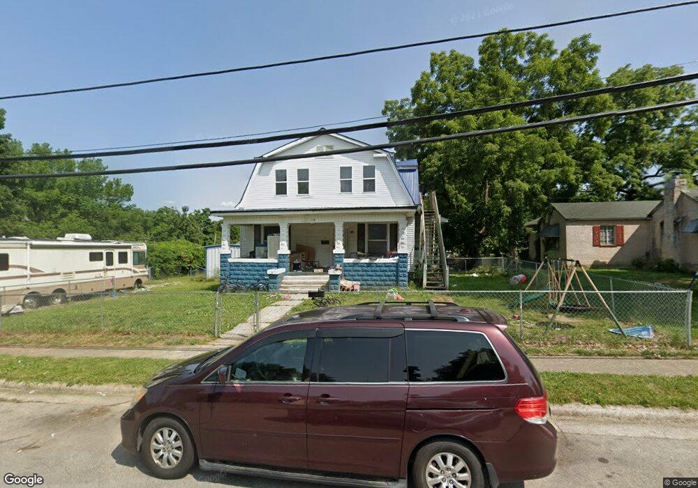
338 Bland Ave Lebanon, MO 65536
Estimated Value: $192,000 - $395,000
8
Beds
2
Baths
3,048
Sq Ft
$80/Sq Ft
Est. Value
About This Home
This home is located at 338 Bland Ave, Lebanon, MO 65536 and is currently estimated at $245,206, approximately $80 per square foot. 338 Bland Ave is a home located in Laclede County with nearby schools including Joe D. Esther Elementary School, Boswell Elementary School, and Maplecrest Elementary School.
Ownership History
Date
Name
Owned For
Owner Type
Purchase Details
Closed on
Nov 10, 2022
Sold by
Ozarks House Buyers Llc
Bought by
Linares Miguel and Linares Summer Dae
Current Estimated Value
Purchase Details
Closed on
May 3, 2017
Sold by
Briggds Marietta
Bought by
Higgins Michael and Hicks Glessie
Home Financials for this Owner
Home Financials are based on the most recent Mortgage that was taken out on this home.
Original Mortgage
$73,000
Interest Rate
5%
Mortgage Type
Seller Take Back
Purchase Details
Closed on
May 22, 2009
Sold by
Stewart Jimmy Lee
Bought by
Biggs Harold L and Biggs Marietta
Create a Home Valuation Report for This Property
The Home Valuation Report is an in-depth analysis detailing your home's value as well as a comparison with similar homes in the area
Home Values in the Area
Average Home Value in this Area
Purchase History
| Date | Buyer | Sale Price | Title Company |
|---|---|---|---|
| Linares Miguel | -- | Titan Title | |
| Linares Miguel | -- | Titan Title | |
| Ozarks House Buyers Llc | -- | Titan Title | |
| Ozarks House Buyers Llc | -- | Titan Title | |
| Higgins Michael | -- | Jeffries | |
| Biggs Harold L | -- | None Available |
Source: Public Records
Mortgage History
| Date | Status | Borrower | Loan Amount |
|---|---|---|---|
| Previous Owner | Higgins Michael | $73,000 |
Source: Public Records
Tax History Compared to Growth
Tax History
| Year | Tax Paid | Tax Assessment Tax Assessment Total Assessment is a certain percentage of the fair market value that is determined by local assessors to be the total taxable value of land and additions on the property. | Land | Improvement |
|---|---|---|---|---|
| 2025 | $790 | $15,770 | $0 | $0 |
| 2024 | $790 | $13,850 | $0 | $0 |
| 2023 | $788 | $13,410 | $0 | $0 |
| 2022 | $734 | $13,410 | $0 | $0 |
| 2021 | $809 | $13,414 | $1,558 | $11,856 |
| 2020 | $812 | $13,414 | $1,558 | $11,856 |
| 2019 | $778 | $13,420 | $1,560 | $11,860 |
| 2018 | $730 | $13,420 | $1,560 | $11,860 |
| 2017 | $693 | $13,410 | $0 | $0 |
| 2016 | $693 | $13,410 | $0 | $0 |
| 2015 | $693 | $13,410 | $0 | $0 |
| 2014 | $693 | $13,410 | $0 | $0 |
| 2013 | -- | $13,410 | $0 | $0 |
Source: Public Records
Map
Nearby Homes
- 0 County Rd 64-152 N A
- 169 Grand Ave
- 595 Chestnut St
- Lot 20 Missouri 64
- 1719 State Hwy 64
- 015 Missouri 64
- Lot 19 Missouri 64
- Lot 18 Missouri 64
- Lot 17 Missouri 64
- 014 Missouri 64
- 016 Missouri 64
- 371 N Washington Ave
- 540 Pearl St
- 377 Lincoln Ave
- 411 South St
- 440 Railroad Ave
- 480 Center Ave
- 757 S Adams Ave
- 406 Perry St
- 22781 U S Route 66
- 338 Bland Ave Unit A&B
- 320 Bland Ave
- 360 Bland Ave
- 279 Morris St
- 279 Morris St
- 267 Morris St
- 255 Morris St
- 250 S Washington Ave
- 366 Bland Ave
- 385 Spiller St
- 339 Bland Ave
- 351 Bland Ave
- 292 S Washington Ave
- 292 Washington Ct
- 325 Bland Ave
- 319 Bland Ave
- 370 Bland Ave
- 359 Bland Ave
- 230 S Washington Ave
- 369 Bland Ave