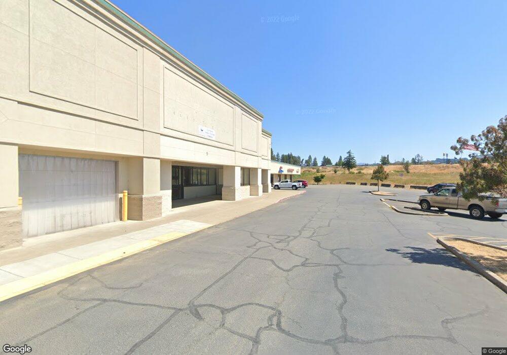
338 Dakota St Sutherlin, OR 97479
Estimated Value: $1,591,985
--
Bed
--
Bath
4,550
Sq Ft
$350/Sq Ft
Est. Value
About This Home
This home is located at 338 Dakota St, Sutherlin, OR 97479 and is currently estimated at $1,591,985, approximately $349 per square foot. 338 Dakota St is a home located in Douglas County with nearby schools including East Sutherlin Primary School, West Sutherlin Intermediate School, and Sutherlin Middle School.
Ownership History
Date
Name
Owned For
Owner Type
Purchase Details
Closed on
Apr 26, 2004
Sold by
Drd Investments Llc
Bought by
Flores Gabriel and Flores Mariela E
Current Estimated Value
Home Financials for this Owner
Home Financials are based on the most recent Mortgage that was taken out on this home.
Original Mortgage
$476,500
Outstanding Balance
$112,786
Interest Rate
5.35%
Mortgage Type
Commercial
Estimated Equity
$1,479,199
Create a Home Valuation Report for This Property
The Home Valuation Report is an in-depth analysis detailing your home's value as well as a comparison with similar homes in the area
Home Values in the Area
Average Home Value in this Area
Purchase History
| Date | Buyer | Sale Price | Title Company |
|---|---|---|---|
| Flores Gabriel | $585,000 | First American Title Ins Co |
Source: Public Records
Mortgage History
| Date | Status | Borrower | Loan Amount |
|---|---|---|---|
| Open | Flores Gabriel | $476,500 | |
| Closed | Flores Gabriel | $60,000 |
Source: Public Records
Tax History Compared to Growth
Tax History
| Year | Tax Paid | Tax Assessment Tax Assessment Total Assessment is a certain percentage of the fair market value that is determined by local assessors to be the total taxable value of land and additions on the property. | Land | Improvement |
|---|---|---|---|---|
| 2024 | $7,589 | $634,422 | -- | -- |
| 2023 | $7,372 | $615,944 | $0 | $0 |
| 2022 | $7,160 | $598,004 | $0 | $0 |
| 2021 | $6,955 | $580,587 | $0 | $0 |
| 2020 | $6,260 | $525,566 | $0 | $0 |
| 2019 | $6,260 | $525,566 | $0 | $0 |
| 2018 | $6,259 | $253 | $0 | $0 |
| 2017 | $6,278 | $499,288 | $0 | $0 |
| 2016 | $6,609 | $525,566 | $0 | $0 |
| 2015 | $6,610 | $525,566 | $0 | $0 |
| 2014 | $6,606 | $525,566 | $0 | $0 |
| 2013 | -- | $525,566 | $0 | $0 |
Source: Public Records
Map
Nearby Homes
- 0 Dakota St Unit B 500248401
- 420 Backwater Loop
- 1688 W Central Ave
- 181 SW Hutchins St
- 1660 Scardi Blvd
- 135 Elkton St
- 126 Coles Valley St
- 165 Robinson St
- 154 Coles Valley St
- 1716 Scardi Blvd Unit 174
- 149 Coles Valley St
- 702 Divot Loop
- 819 S Comstock Ave Unit 13
- 892 Fir Grove Ln
- 279 Grant St
- 908 Fir Grove Ln
- 1386 Airway Ave
- 1223 Duke Ave
- 910 Swallow Ave
- 832 Sand Pines Ave
- 332 Fairway Dr
- 330 Fairway Dr
- 330 Dakota St
- 0 Dakota Street Lots E Unit F G
- 0
- 0 Dakota St
- 0 Dakota St
- 0 Dakota St Unit B 24561612
- 0 Dakota St Unit H 24517723
- 0 Dakota St Unit H 24511732
- 0 Dakota St Unit E,F,G 24036759
- 0 Dakota St Unit E 24514424
- 0 Dakota St Unit F 24459417
- 0 Dakota St Unit E-H 24171232
- 0 Dakota St Unit G 24062248
- 0 Dakota St Unit 24370736
- 0 Dakota St Unit B 22519043
- 0 Dakota St Unit H 22133060
- 0 Dakota St
- 0 W Central Ave Unit 21346472