Estimated Value: $410,612 - $433,000
2
Beds
2
Baths
1,700
Sq Ft
$251/Sq Ft
Est. Value
About This Home
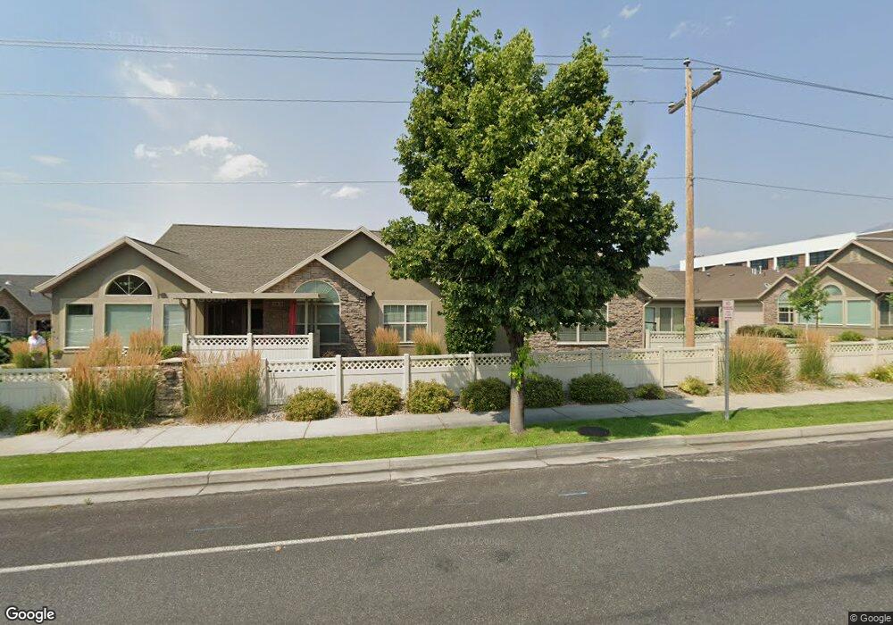
This home is located at 338 E 2230 N Unit 19C, Logan, UT 84341 and is currently estimated at $426,403, approximately $250 per square foot. 338 E 2230 N Unit 19C is a home located in Cache County with nearby schools including Greenville School, Cedar Ridge School, and North Cache Middle School.
Ownership History
Date
Name
Owned For
Owner Type
Purchase Details
Closed on
Aug 26, 2025
Sold by
Streator Rose B
Bought by
Rose B Streator Trust and Streator
Current Estimated Value
Purchase Details
Closed on
Feb 2, 2012
Sold by
Leisure Group Inc
Bought by
Streator Rose B
Home Financials for this Owner
Home Financials are based on the most recent Mortgage that was taken out on this home.
Original Mortgage
$85,000
Interest Rate
3.9%
Mortgage Type
Purchase Money Mortgage
Create a Home Valuation Report for This Property
The Home Valuation Report is an in-depth analysis detailing your home's value as well as a comparison with similar homes in the area
Home Values in the Area
Average Home Value in this Area
Purchase History
| Date | Buyer | Sale Price | Title Company |
|---|---|---|---|
| Rose B Streator Trust | -- | None Listed On Document | |
| Streator Rose B | -- | Cache Title Company |
Source: Public Records
Mortgage History
| Date | Status | Borrower | Loan Amount |
|---|---|---|---|
| Previous Owner | Streator Rose B | $85,000 |
Source: Public Records
Tax History
| Year | Tax Paid | Tax Assessment Tax Assessment Total Assessment is a certain percentage of the fair market value that is determined by local assessors to be the total taxable value of land and additions on the property. | Land | Improvement |
|---|---|---|---|---|
| 2025 | $1,514 | $211,885 | $0 | $0 |
| 2024 | $1,830 | $238,320 | $0 | $0 |
| 2023 | $1,982 | $241,565 | $0 | $0 |
| 2022 | $2,104 | $245,025 | $0 | $0 |
| 2021 | $1,799 | $324,934 | $60,000 | $264,934 |
| 2020 | $1,715 | $290,378 | $60,000 | $230,378 |
| 2019 | $1,796 | $290,378 | $60,000 | $230,378 |
| 2018 | $1,516 | $237,695 | $32,000 | $205,695 |
| 2017 | $1,519 | $125,345 | $0 | $0 |
| 2016 | $1,543 | $113,355 | $0 | $0 |
| 2015 | $1,400 | $113,355 | $0 | $0 |
| 2014 | $1,367 | $113,355 | $0 | $0 |
| 2013 | -- | $107,720 | $0 | $0 |
Source: Public Records
Map
Nearby Homes
- 327 E 2230 N Unit A
- 385 E 2280 N Unit D
- 2386 N 150 E
- 623 E 2475 N Unit 5
- 645 E 2475 N
- 667 E 2475 N
- 2048 N 350 E
- 2452 N 200 E
- 2460 N 200 E
- 161 E 2440 N
- 2592 N 330 E
- 2469 N 620 E Unit 3
- 2477 N 620 E Unit 4
- 741 E 2200 N
- 2640 N Aspen Park Ln
- 2664 N 330 E
- 710 E 2160 N
- 2284 N 740 E
- 2168 N 750 E
- 2070 U S 91
- 338 E 2230 N Unit D
- 338 E 2230 N Unit 19A
- 356 E 2230 N Unit B
- 356 E 2230 N Unit 20B
- 356 E 2230 N Unit 20A
- 356 E 2230 N Unit 20D
- 163 E 2200 N
- 318 E 2230 N Unit 18 A
- 318 E 2230 N Unit D
- 327 E 2230 N Unit D
- 327 E 2230 N Unit 22C
- 327 E 2230 N Unit C
- 327 E 2230 N
- 327 E 2230 N Unit 22D
- 327 E 2230 N Unit B
- 349 E 2230 N Unit 21B
- 349 E 2230 N Unit 21C
- 349 E 2230 N Unit D
- 349 E 2230 N Unit A
- 322 E 2280 N Unit 28B
Your Personal Tour Guide
Ask me questions while you tour the home.