338 Hardy Rd Brooks, GA 30205
Estimated Value: $766,578 - $939,000
Studio
--
Bath
3,032
Sq Ft
$270/Sq Ft
Est. Value
About This Home
This home is located at 338 Hardy Rd, Brooks, GA 30205 and is currently estimated at $818,145, approximately $269 per square foot. 338 Hardy Rd is a home with nearby schools including Peeples Elementary School, Whitewater Middle School, and Whitewater High School.
Ownership History
Date
Name
Owned For
Owner Type
Purchase Details
Closed on
May 23, 2003
Sold by
Bollinger Curtis A
Bought by
Adams Alan K and Adams Gail
Current Estimated Value
Purchase Details
Closed on
May 7, 1998
Sold by
Pgc Inc
Bought by
Black Craig R and Black Lynn S
Home Financials for this Owner
Home Financials are based on the most recent Mortgage that was taken out on this home.
Original Mortgage
$34,587
Interest Rate
7.03%
Mortgage Type
New Conventional
Create a Home Valuation Report for This Property
The Home Valuation Report is an in-depth analysis detailing your home's value as well as a comparison with similar homes in the area
Home Values in the Area
Average Home Value in this Area
Purchase History
| Date | Buyer | Sale Price | Title Company |
|---|---|---|---|
| Adams Alan K | $85,000 | -- | |
| Black Craig R | $45,000 | -- |
Source: Public Records
Mortgage History
| Date | Status | Borrower | Loan Amount |
|---|---|---|---|
| Previous Owner | Black Craig R | $34,587 |
Source: Public Records
Tax History
| Year | Tax Paid | Tax Assessment Tax Assessment Total Assessment is a certain percentage of the fair market value that is determined by local assessors to be the total taxable value of land and additions on the property. | Land | Improvement |
|---|---|---|---|---|
| 2025 | $5,429 | $293,694 | $68,099 | $225,594 |
| 2024 | $5,429 | $274,480 | $63,644 | $210,836 |
| 2023 | $5,429 | $256,372 | $55,932 | $200,440 |
| 2022 | $5,168 | $240,264 | $50,144 | $190,120 |
| 2021 | $4,942 | $216,208 | $46,288 | $169,920 |
| 2020 | $5,543 | $198,332 | $38,532 | $159,800 |
| 2019 | $5,393 | $191,012 | $38,532 | $152,480 |
| 2018 | $5,017 | $175,880 | $33,280 | $142,600 |
| 2017 | $4,053 | $167,128 | $31,528 | $135,600 |
| 2016 | $4,404 | $150,808 | $31,528 | $119,280 |
| 2015 | $4,126 | $138,928 | $31,528 | $107,400 |
| 2014 | $3,776 | $125,048 | $31,528 | $93,520 |
| 2013 | -- | $93,496 | $0 | $0 |
Source: Public Records
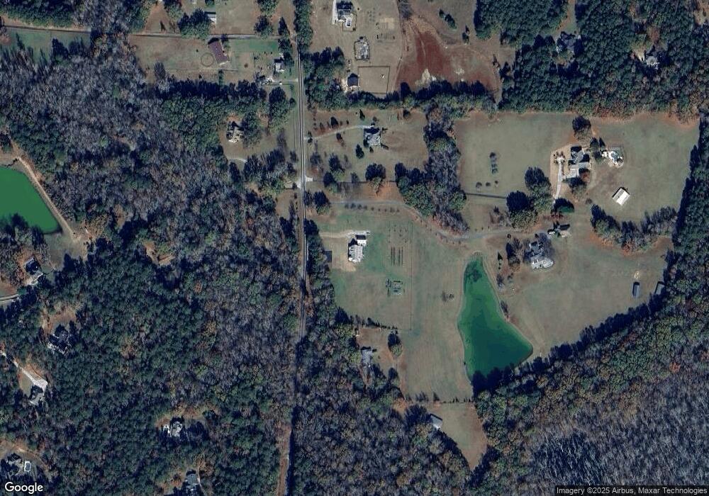
Map
Nearby Homes
- 152 Carson Rd
- 0 Mask Rd Unit 10671477
- 160 Carrington Ln
- 395 W Mcintosh Rd
- 130 Brooklet Way
- 456 W Mcintosh Rd
- 4101 W Ellis Rd
- 0 W Mcintosh Rd Unit 10654779
- NEXT TO 443 W Mcintosh Rd
- 6475 Newnan Rd
- 460 Mask Rd
- 423 Woods Rd
- 911 Highway 85 Connector
- LOT 8 Mask Road - Hanner's Farm S
- LOT 6 Mask Road - Hanner's Farm N
- LOT 7 Mask Road - Hanner's Farm S
- LOT 5 Mask Road - Hanner's Farm N
- LOT 4 Mask Road - Hanner's Farm N
- LOT 3 Mask Road - Hanner's Farm N
- 100 Fairview Rd
- Lot 7 Hardy Rd
- 106 Carson Rd
- 322 Hardy Rd
- 107 Carson Rd
- 332 Hardy Rd
- 350 Hardy Rd
- 309 Hardy Rd
- 105 Coogler Way Unit 1 & 2 125
- 330 Hardy Rd
- 379 Hardy Rd
- 152 Carson Rd Unit 2
- 168 Carson Rd Unit 3
- 188 Carson Rd Unit 4
- 391 Hardy Rd
- 295 Hardy Rd
- 125 Coogler Way
- 135 Coogler Way
- 138 Carson Rd
- 139 Carson Rd
- 120 Coogler Way
Your Personal Tour Guide
Ask me questions while you tour the home.