Estimated Value: $367,000 - $396,000
3
Beds
1
Bath
1,610
Sq Ft
$237/Sq Ft
Est. Value
About This Home
This home is located at 338 Joel M Austin Rd N, Cairo, NY 12413 and is currently estimated at $381,500, approximately $236 per square foot. 338 Joel M Austin Rd N is a home located in Greene County with nearby schools including Cairo-Durham Elementary School, Cairo-Durham Middle School, and Cairo-Durham High School.
Ownership History
Date
Name
Owned For
Owner Type
Purchase Details
Closed on
Nov 30, 2021
Sold by
Enck Robert E
Bought by
Robert E Enck Ft and Enck
Current Estimated Value
Purchase Details
Closed on
Jan 12, 2010
Sold by
Bogdanovich Tamara
Bought by
Enck Robert E
Home Financials for this Owner
Home Financials are based on the most recent Mortgage that was taken out on this home.
Original Mortgage
$145,712
Interest Rate
4.71%
Mortgage Type
Purchase Money Mortgage
Purchase Details
Closed on
Jul 1, 2003
Sold by
Dederick Ronald
Bought by
Bogdanovich Tamara
Purchase Details
Closed on
Nov 19, 1996
Create a Home Valuation Report for This Property
The Home Valuation Report is an in-depth analysis detailing your home's value as well as a comparison with similar homes in the area
Home Values in the Area
Average Home Value in this Area
Purchase History
| Date | Buyer | Sale Price | Title Company |
|---|---|---|---|
| Robert E Enck Ft | -- | None Available | |
| Enck Robert E | $148,400 | Koweek, Cranna & Mcevoy | |
| Bogdanovich Tamara | $95,000 | Michael Martin | |
| -- | -- | -- |
Source: Public Records
Mortgage History
| Date | Status | Borrower | Loan Amount |
|---|---|---|---|
| Previous Owner | Enck Robert E | $145,712 |
Source: Public Records
Tax History Compared to Growth
Tax History
| Year | Tax Paid | Tax Assessment Tax Assessment Total Assessment is a certain percentage of the fair market value that is determined by local assessors to be the total taxable value of land and additions on the property. | Land | Improvement |
|---|---|---|---|---|
| 2024 | $6,133 | $145,200 | $18,600 | $126,600 |
| 2023 | $5,724 | $145,200 | $18,600 | $126,600 |
| 2022 | $5,888 | $145,200 | $18,600 | $126,600 |
| 2021 | $5,941 | $145,200 | $18,600 | $126,600 |
| 2020 | $5,600 | $145,200 | $18,600 | $126,600 |
| 2019 | $5,502 | $145,200 | $18,600 | $126,600 |
| 2018 | $5,502 | $145,200 | $18,600 | $126,600 |
| 2017 | $4,871 | $130,200 | $18,600 | $111,600 |
| 2016 | $4,722 | $130,200 | $18,600 | $111,600 |
| 2015 | -- | $130,200 | $18,600 | $111,600 |
| 2014 | -- | $130,200 | $18,600 | $111,600 |
Source: Public Records
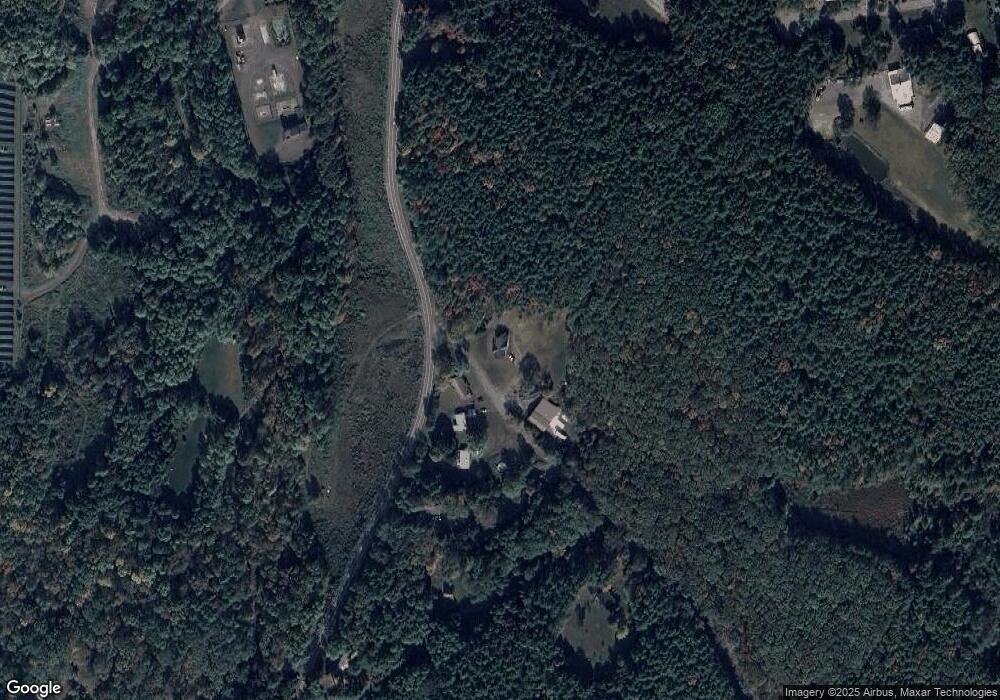
Map
Nearby Homes
- 245 Mountain Ave
- 275 Mountain Ave
- 166 Falls View Ln Unit 1
- 326 Main St
- 480 Silver Spur Rd W
- 70-76 Joseph D Spencer Ln
- 526 Mountain Ave
- 479 Main St
- 78 Bross St
- 19 Van Buren Dr
- 7 Grove St
- 36 Jones St
- 24 Grove St
- 29 Jones St
- 564 Main St
- 0 New York 23
- 54 Grove St
- 18-24 Jerome Ave
- 29 Jerome Ave
- 86 Main St
- 313 Joel M Austin Rd
- 275 Mountain Ave
- 98 Blackhead Mountain Rd
- 113 Blackhead Mountain Rd
- 291 Mountain Ave
- 271 Joel M Austin Rd N
- 255 Joel M Austin Rd N
- 315 Mountain Ave Unit 1
- 315 Mountain Ave
- 149 Mountain Ave
- 149 Mountain Ave
- 149 Circle Dr Unit 24
- 149 Circle Dr Unit 20
- 305 Mountain Ave
- 323 Mountain Ave
- 230 Joel M Austin Rd
- 333 Mountain Ave
- 127 Mountain Ave
- 328 Mountain Ave
- 334 Mountain Ave