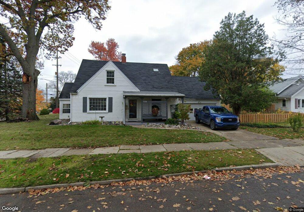
338 Kensington Rd Lansing, MI 48910
Greencroft Park NeighborhoodEstimated Value: $165,000 - $197,801
--
Bed
1
Bath
1,366
Sq Ft
$130/Sq Ft
Est. Value
About This Home
This home is located at 338 Kensington Rd, Lansing, MI 48910 and is currently estimated at $178,200, approximately $130 per square foot. 338 Kensington Rd is a home located in Ingham County with nearby schools including Lyons Elementary School, Attwood School, and Everett High School.
Ownership History
Date
Name
Owned For
Owner Type
Purchase Details
Closed on
Aug 10, 2006
Sold by
Delang Gracie
Bought by
Devoss Danielle N
Current Estimated Value
Home Financials for this Owner
Home Financials are based on the most recent Mortgage that was taken out on this home.
Original Mortgage
$92,000
Outstanding Balance
$55,295
Interest Rate
6.78%
Mortgage Type
New Conventional
Estimated Equity
$122,905
Create a Home Valuation Report for This Property
The Home Valuation Report is an in-depth analysis detailing your home's value as well as a comparison with similar homes in the area
Home Values in the Area
Average Home Value in this Area
Purchase History
| Date | Buyer | Sale Price | Title Company |
|---|---|---|---|
| Devoss Danielle N | $118,000 | Talon Group |
Source: Public Records
Mortgage History
| Date | Status | Borrower | Loan Amount |
|---|---|---|---|
| Open | Devoss Danielle N | $92,000 |
Source: Public Records
Tax History Compared to Growth
Tax History
| Year | Tax Paid | Tax Assessment Tax Assessment Total Assessment is a certain percentage of the fair market value that is determined by local assessors to be the total taxable value of land and additions on the property. | Land | Improvement |
|---|---|---|---|---|
| 2025 | $3,186 | $89,100 | $10,400 | $78,700 |
| 2024 | $25 | $78,000 | $10,400 | $67,600 |
| 2023 | $2,987 | $68,700 | $10,400 | $58,300 |
| 2022 | $2,692 | $61,100 | $6,700 | $54,400 |
| 2021 | $2,636 | $56,300 | $5,700 | $50,600 |
| 2020 | $2,620 | $55,100 | $5,700 | $49,400 |
| 2019 | $2,512 | $48,800 | $5,700 | $43,100 |
| 2018 | $2,354 | $42,600 | $5,700 | $36,900 |
| 2017 | $2,253 | $42,600 | $5,700 | $36,900 |
| 2016 | $2,022 | $39,200 | $5,700 | $33,500 |
| 2015 | $2,022 | $37,200 | $11,313 | $25,887 |
| 2014 | $2,022 | $35,800 | $9,824 | $25,976 |
Source: Public Records
Map
Nearby Homes
- 2406 Markley Place
- 0 Rickle
- 2806 S Washington Ave
- 2901 Palmer St
- 334 Dunlap St
- 410 Dunlap St
- 100 Dunlap St
- 2313 S Rundle Ave
- 2011 Osband Ave
- 2230 Maplewood Ave
- 815 Woodbine Ave
- 511 W Mount Hope Ave
- 2107 Teel Ave
- 2421 Stirling Ave
- 712 Lenore Ave
- 1927 Teel Ave
- 2310 Stirling Ave
- 1836 Osband Ave
- 1032 Kelsey Ave
- 907 Lenore Ave
- 2437 S Washington Ave
- 328 Kensington Rd
- 2433 S Washington Ave
- 339 Kensington Rd
- 326 Kensington Rd
- 333 Kensington Rd
- 2427 S Washington Ave
- 329 Kensington Rd
- 327 Wayburn Rd
- 322 Kensington Rd
- 327 Kensington Rd
- 321 Wayburn Rd
- 316 Kensington Rd
- 418 Strathmore Rd
- 412 Strathmore Rd
- 315 Wayburn Rd
- 323 Kensington Rd
- 330 Wayburn Rd
- 310 Kensington Rd
- 400 Strathmore Rd