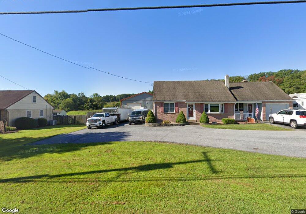
338 Mill St Boyertown, PA 19512
Colebrookdale Township NeighborhoodEstimated Value: $267,000 - $350,000
3
Beds
1
Bath
1,308
Sq Ft
$239/Sq Ft
Est. Value
About This Home
This home is located at 338 Mill St, Boyertown, PA 19512 and is currently estimated at $312,410, approximately $238 per square foot. 338 Mill St is a home located in Berks County with nearby schools including Boyertown Area Senior High School.
Ownership History
Date
Name
Owned For
Owner Type
Purchase Details
Closed on
Apr 19, 2013
Sold by
Watt Ryan and Watt Lesley A
Bought by
Watt Ryan and Watt Lesley A
Current Estimated Value
Home Financials for this Owner
Home Financials are based on the most recent Mortgage that was taken out on this home.
Original Mortgage
$125,600
Outstanding Balance
$58,357
Interest Rate
3.57%
Mortgage Type
New Conventional
Estimated Equity
$254,053
Purchase Details
Closed on
Aug 25, 2005
Sold by
Whitlock Janice M and Seidel Janice M
Bought by
Watt Ryan and Svanda Lesley A
Home Financials for this Owner
Home Financials are based on the most recent Mortgage that was taken out on this home.
Original Mortgage
$27,885
Interest Rate
5.39%
Mortgage Type
Unknown
Create a Home Valuation Report for This Property
The Home Valuation Report is an in-depth analysis detailing your home's value as well as a comparison with similar homes in the area
Home Values in the Area
Average Home Value in this Area
Purchase History
| Date | Buyer | Sale Price | Title Company |
|---|---|---|---|
| Watt Ryan | -- | None Available | |
| Watt Ryan | $185,900 | -- |
Source: Public Records
Mortgage History
| Date | Status | Borrower | Loan Amount |
|---|---|---|---|
| Open | Watt Ryan | $125,600 | |
| Closed | Watt Ryan | $27,885 | |
| Previous Owner | Watt Ryan | $148,720 |
Source: Public Records
Tax History Compared to Growth
Tax History
| Year | Tax Paid | Tax Assessment Tax Assessment Total Assessment is a certain percentage of the fair market value that is determined by local assessors to be the total taxable value of land and additions on the property. | Land | Improvement |
|---|---|---|---|---|
| 2025 | $1,546 | $103,900 | $34,000 | $69,900 |
| 2024 | $4,588 | $103,900 | $34,000 | $69,900 |
| 2023 | $4,423 | $103,900 | $34,000 | $69,900 |
| 2022 | $4,229 | $103,900 | $34,000 | $69,900 |
| 2021 | $4,141 | $103,900 | $34,000 | $69,900 |
| 2020 | $4,051 | $103,900 | $34,000 | $69,900 |
| 2019 | $3,951 | $103,900 | $34,000 | $69,900 |
| 2018 | $3,811 | $103,900 | $34,000 | $69,900 |
| 2017 | $3,651 | $103,900 | $34,000 | $69,900 |
| 2016 | $1,158 | $103,900 | $34,000 | $69,900 |
| 2015 | $1,158 | $103,900 | $34,000 | $69,900 |
| 2014 | $1,158 | $103,900 | $34,000 | $69,900 |
Source: Public Records
Map
Nearby Homes
- 11 Linden Ct Unit 11
- 332 S Reading Ave
- 141 Greshville Rd
- 151 S Reading Ave
- 241 Sweinhart Rd
- 622 Rhoads Ave
- 1008 Reading Ave
- 100 College St
- 0 W Philadelphia Ave
- 25 Hunters Dr
- 16 Hunters Dr
- 15 Thomas Ln
- 1041 Reading Ave
- 201 Jackson Rd
- 231 N Franklin St
- 60 Foxwood Dr
- 23 Foxwood Dr
- 119 Schaeffer St
- 290 Buchert Rd Unit 1
- 288 Buchert Rd Unit 2