338 NW Breezy Point Loop Port Saint Lucie, FL 34986
Saint Lucie West NeighborhoodEstimated Value: $316,000 - $341,000
3
Beds
2
Baths
1,526
Sq Ft
$216/Sq Ft
Est. Value
About This Home
This home is located at 338 NW Breezy Point Loop, Port Saint Lucie, FL 34986 and is currently estimated at $329,522, approximately $215 per square foot. 338 NW Breezy Point Loop is a home located in St. Lucie County with nearby schools including West Gate K-8 School, Oak Hammock K-8 School, and Bayshore Elementary School.
Ownership History
Date
Name
Owned For
Owner Type
Purchase Details
Closed on
Jun 18, 2019
Sold by
Wall Doris Ann and Wall Doris M
Bought by
Settle Wall Doris Ann and Settle Boyd Iii Thomas
Current Estimated Value
Purchase Details
Closed on
Aug 2, 2004
Sold by
Levitt Homes Llc
Bought by
Wall Joseph R and Wall Doris M
Home Financials for this Owner
Home Financials are based on the most recent Mortgage that was taken out on this home.
Original Mortgage
$40,000
Outstanding Balance
$19,359
Interest Rate
5.96%
Mortgage Type
Purchase Money Mortgage
Estimated Equity
$310,163
Create a Home Valuation Report for This Property
The Home Valuation Report is an in-depth analysis detailing your home's value as well as a comparison with similar homes in the area
Home Values in the Area
Average Home Value in this Area
Purchase History
| Date | Buyer | Sale Price | Title Company |
|---|---|---|---|
| Settle Wall Doris Ann | -- | Attorney | |
| Wall Joseph R | $168,600 | U F C Title Insurance Agency |
Source: Public Records
Mortgage History
| Date | Status | Borrower | Loan Amount |
|---|---|---|---|
| Open | Wall Joseph R | $40,000 |
Source: Public Records
Tax History Compared to Growth
Tax History
| Year | Tax Paid | Tax Assessment Tax Assessment Total Assessment is a certain percentage of the fair market value that is determined by local assessors to be the total taxable value of land and additions on the property. | Land | Improvement |
|---|---|---|---|---|
| 2025 | $3,663 | $176,407 | -- | -- |
| 2024 | $3,546 | $171,436 | -- | -- |
| 2023 | $3,546 | $166,443 | $0 | $0 |
| 2022 | $3,485 | $161,596 | $0 | $0 |
| 2021 | $3,360 | $156,890 | $0 | $0 |
| 2020 | $3,373 | $154,724 | $0 | $0 |
| 2019 | $3,350 | $151,246 | $0 | $0 |
| 2018 | $3,194 | $148,426 | $0 | $0 |
| 2017 | $3,289 | $188,600 | $55,000 | $133,600 |
| 2016 | $3,290 | $175,700 | $55,000 | $120,700 |
| 2015 | $3,316 | $159,300 | $50,000 | $109,300 |
| 2014 | $3,171 | $140,273 | $0 | $0 |
Source: Public Records
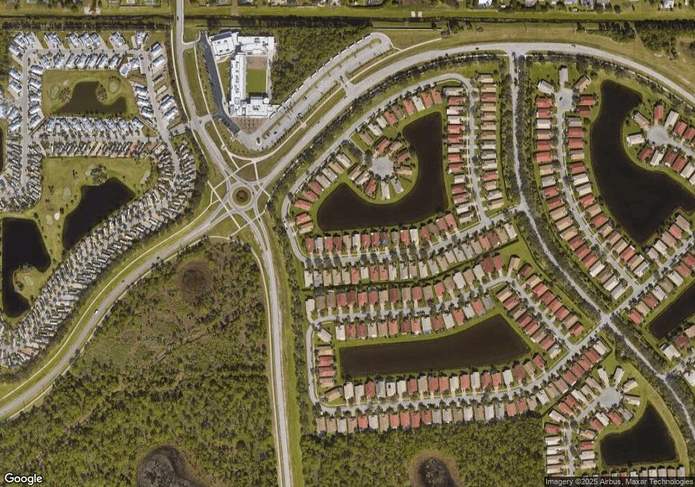
Map
Nearby Homes
- 340 NW Breezy Point Loop
- 344 NW Breezy Point Loop
- 324 NW Breezy Point Loop
- 389 NW Springview Loop
- 159 NW Hazard Way
- 170 NW Hazard Way
- 254 NW Hazard Way
- 171 NW Hazard Way
- 255 NW Hazard Way
- 155 NW Hazard Way
- 269 NW Hazard Way
- 259 NW Hazard Way
- 567 NW Chipshot Ln
- 267 NW Hazard Way
- 228 NW Hazard Way
- 272 NW Hazard Way
- 188 NW Hazard Way
- 284 NW Toscane Trail
- 5957 NW Brenda Cir
- 324 NW Treeline Trace
- 336 NW Breezy Point Loop
- 334 NW Breezy Point Loop
- 342 NW Breezy Point Loop
- 332 NW Breezy Point Loop
- 339 NW Breezy Point Loop
- 341 NW Breezy Point Loop
- 335 NW Breezy Point Loop
- 330 NW Breezy Point Loop
- 343 NW Breezy Point Loop
- 333 NW Breezy Point Loop
- 346 NW Breezy Point Loop
- 348 NW Breezy Point Loop
- 345 NW Breezy Point Loop
- 331 NW Breezy Point Loop
- 328 NW Breezy Point Loop
- 347 NW Breezy Point Loop
- 329 NW Breezy Point Loop
- 379 NW Springview Loop
- 381 NW Springview Loop
- 377 NW Springview Loop