338 Ranchland Rd Belden, MI 38826
Estimated Value: $217,000 - $281,000
3
Beds
2
Baths
1,982
Sq Ft
$122/Sq Ft
Est. Value
About This Home
This home is located at 338 Ranchland Rd, Belden, MI 38826 and is currently estimated at $241,846, approximately $122 per square foot. 338 Ranchland Rd is a home located in Pontotoc County.
Ownership History
Date
Name
Owned For
Owner Type
Purchase Details
Closed on
Nov 25, 2019
Sold by
Puckett Mary Beth and Vandiver Mary Beth
Bought by
Brown Caleb Reaves and Brown Margaret Elizabeth
Current Estimated Value
Home Financials for this Owner
Home Financials are based on the most recent Mortgage that was taken out on this home.
Original Mortgage
$128,000
Outstanding Balance
$113,071
Interest Rate
3.7%
Mortgage Type
New Conventional
Estimated Equity
$128,775
Purchase Details
Closed on
Aug 9, 2019
Sold by
Vandiver Brett Allen
Bought by
Vandiver Mary Beth
Purchase Details
Closed on
Sep 29, 2015
Sold by
French Dwight E and French Mary L
Bought by
Vandiver Mary Beth and Vandiver Brett Allen
Home Financials for this Owner
Home Financials are based on the most recent Mortgage that was taken out on this home.
Original Mortgage
$164,285
Interest Rate
3.93%
Mortgage Type
Purchase Money Mortgage
Purchase Details
Closed on
Mar 1, 2007
Sold by
Park Kevin and Park Rachelle
Bought by
French Dwight E and French Mary L
Create a Home Valuation Report for This Property
The Home Valuation Report is an in-depth analysis detailing your home's value as well as a comparison with similar homes in the area
Home Values in the Area
Average Home Value in this Area
Purchase History
| Date | Buyer | Sale Price | Title Company |
|---|---|---|---|
| Brown Caleb Reaves | -- | None Available | |
| Vandiver Mary Beth | -- | None Available | |
| Vandiver Mary Beth | -- | -- | |
| French Dwight E | -- | -- |
Source: Public Records
Mortgage History
| Date | Status | Borrower | Loan Amount |
|---|---|---|---|
| Open | Brown Caleb Reaves | $128,000 | |
| Previous Owner | Vandiver Mary Beth | $164,285 |
Source: Public Records
Tax History Compared to Growth
Tax History
| Year | Tax Paid | Tax Assessment Tax Assessment Total Assessment is a certain percentage of the fair market value that is determined by local assessors to be the total taxable value of land and additions on the property. | Land | Improvement |
|---|---|---|---|---|
| 2024 | $1,692 | $13,236 | $0 | $0 |
| 2023 | $1,692 | $13,236 | $0 | $0 |
| 2022 | $1,237 | $12,024 | $0 | $0 |
| 2021 | $1,237 | $12,024 | $0 | $0 |
| 2020 | $1,537 | $12,024 | $0 | $0 |
| 2019 | $1,197 | $11,993 | $0 | $0 |
| 2018 | $1,099 | $11,205 | $0 | $0 |
| 2017 | $2,131 | $11,133 | $0 | $0 |
| 2016 | $2,131 | $16,700 | $0 | $0 |
| 2015 | -- | $11,253 | $0 | $0 |
| 2014 | -- | $11,253 | $0 | $0 |
Source: Public Records
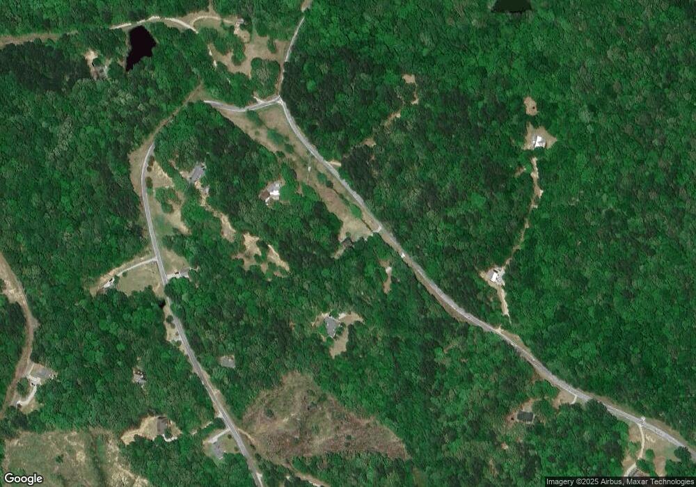
Map
Nearby Homes
- 1981 Dozier Hill Rd
- 1196 Ranchland Rd
- 1289 Ranchland Rd
- 1275 League Creek Rd
- 71 Endville Rd
- 0 Mule Pulling Rd
- 737 Martin Rd
- 0 Simmons Ln
- Lot 12 Arbor Subdivision
- Lot 13 Arbor Subdivision
- Lot 11 Arbor Subdivision
- Lot 15 Arbor Subdivision
- Lot 10 Arbor Subdivision
- Lot 9 Arbor Subdivision
- 880 Eads Creek Rd
- 0 Rd
- 0 Lot 7 Eads Creek Rd
- 0 Lot 8 Eads Creek Rd
- 0 Lot 6 Eads Creek
- 2288 Chesterville Rd