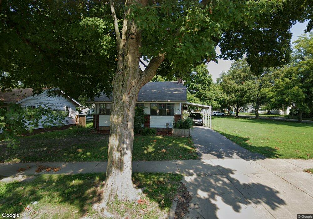
338 S 20th St Decatur, IL 62521
Lions Park NeighborhoodEstimated Value: $51,000 - $62,000
2
Beds
1
Bath
1,904
Sq Ft
$30/Sq Ft
Est. Value
About This Home
This home is located at 338 S 20th St, Decatur, IL 62521 and is currently estimated at $57,346, approximately $30 per square foot. 338 S 20th St is a home located in Macon County with nearby schools including Muffley Elementary School, Stephen Decatur Middle School, and Robertson Charter School.
Ownership History
Date
Name
Owned For
Owner Type
Purchase Details
Closed on
Oct 14, 2011
Sold by
Knowles Terry L and Knowles Barbara J
Bought by
Baker Christie M
Current Estimated Value
Purchase Details
Closed on
Nov 29, 2005
Sold by
Curth Trnity Evangelica Luthbr
Bought by
Knowell Terry L and Knowell Barbara J
Create a Home Valuation Report for This Property
The Home Valuation Report is an in-depth analysis detailing your home's value as well as a comparison with similar homes in the area
Home Values in the Area
Average Home Value in this Area
Purchase History
| Date | Buyer | Sale Price | Title Company |
|---|---|---|---|
| Baker Christie M | $24,000 | None Available | |
| Knowell Terry L | $30,000 | None Available |
Source: Public Records
Tax History Compared to Growth
Tax History
| Year | Tax Paid | Tax Assessment Tax Assessment Total Assessment is a certain percentage of the fair market value that is determined by local assessors to be the total taxable value of land and additions on the property. | Land | Improvement |
|---|---|---|---|---|
| 2024 | $894 | $15,234 | $3,056 | $12,178 |
| 2023 | $865 | $14,695 | $2,948 | $11,747 |
| 2022 | $755 | $13,385 | $2,728 | $10,657 |
| 2021 | $669 | $12,501 | $2,548 | $9,953 |
| 2020 | $674 | $11,921 | $2,430 | $9,491 |
| 2019 | $674 | $11,921 | $2,430 | $9,491 |
| 2018 | $666 | $11,797 | $2,780 | $9,017 |
| 2017 | $664 | $12,112 | $2,854 | $9,258 |
| 2016 | $670 | $12,235 | $2,883 | $9,352 |
| 2015 | $648 | $12,019 | $2,832 | $9,187 |
| 2014 | $607 | $11,900 | $2,804 | $9,096 |
| 2013 | $606 | $12,347 | $2,909 | $9,438 |
Source: Public Records
Map
Nearby Homes
- 2111 E Wood St
- 245 S 20th St
- 2152 E Decatur St
- 1764 E Johns Ave
- 1753 E Clay St
- 2104 E Whitmer St
- 1850 E Prairie St
- 2039 E Whitmer St
- 1656 E Wood St
- 729 S 22nd St
- 1645 E Wood St
- 111 S 24th+520 E Division+870 N Union St
- 1605 E Clay St
- 632 S 17th St
- 340 N 17th St
- 1644 E William St
- 425 N 18th St
- 203 S 25th St
- 2434 E Prairie St
- 1525 E North St
- 328 S 20th St
- 2102 E Johns Ave
- 312 S 20th St
- 2045 E Clay St
- 2112 E Johns Ave
- 304 S 20th St
- 2115 E Clay St
- 2122 E Johns Ave
- 402 S 20th St
- 2077 E Clay St
- 2105 E Johns Ave
- 414 S 20th St
- 2115 E Johns Ave
- 321 S 20th St
- 401 S 20th St
- 307 S 20th St
- 2132 E Johns Ave
- 305 S 20th St
- 422 S 20th St
- 2135 E Clay St