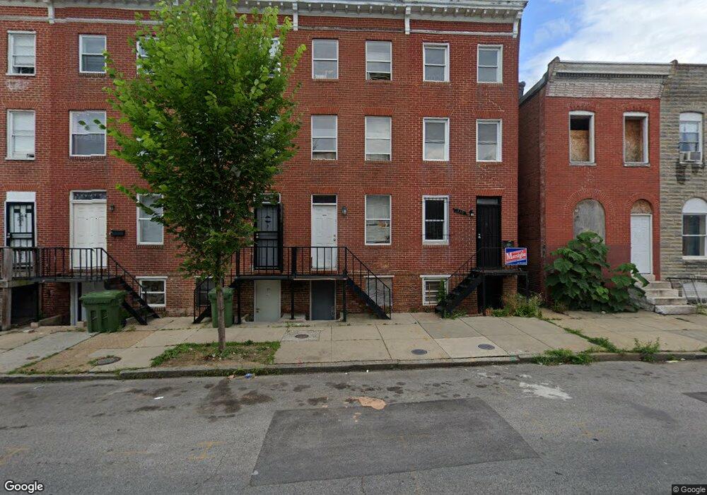
338 S Calhoun St Baltimore, MD 21223
Mount Clare NeighborhoodEstimated Value: $150,000 - $225,143
--
Bed
--
Bath
--
Sq Ft
741
Sq Ft Lot
About This Home
This home is located at 338 S Calhoun St, Baltimore, MD 21223 and is currently estimated at $187,572. 338 S Calhoun St is a home located in Baltimore City with nearby schools including Franklin Square Elementary/Middle School, Booker T. Washington Middle School, and Frederick Douglass High School.
Ownership History
Date
Name
Owned For
Owner Type
Purchase Details
Closed on
Apr 23, 2001
Sold by
Household Finance Corporation Iii
Bought by
Huguley Sonia
Current Estimated Value
Purchase Details
Closed on
Jan 5, 2001
Sold by
Thompson Lance
Bought by
Household Finance Corporation Iii
Purchase Details
Closed on
Sep 22, 1999
Sold by
Sackowitz Randy
Bought by
Thompson Lance
Purchase Details
Closed on
Oct 5, 1998
Sold by
Wade Wilbur
Bought by
Sackowitz Randy
Create a Home Valuation Report for This Property
The Home Valuation Report is an in-depth analysis detailing your home's value as well as a comparison with similar homes in the area
Home Values in the Area
Average Home Value in this Area
Purchase History
| Date | Buyer | Sale Price | Title Company |
|---|---|---|---|
| Huguley Sonia | $19,897 | -- | |
| Household Finance Corporation Iii | $18,800 | -- | |
| Thompson Lance | $53,000 | -- | |
| Thompson Lance | $53,000 | -- | |
| Thompson Lance | $9,020 | -- | |
| Thompson Lance | $19,500 | -- | |
| Sackowitz Randy | -- | -- | |
| Sackowitz Randy | $73,000 | -- |
Source: Public Records
Tax History Compared to Growth
Tax History
| Year | Tax Paid | Tax Assessment Tax Assessment Total Assessment is a certain percentage of the fair market value that is determined by local assessors to be the total taxable value of land and additions on the property. | Land | Improvement |
|---|---|---|---|---|
| 2025 | $1,010 | $44,000 | -- | -- |
| 2024 | $1,010 | $43,000 | $0 | $0 |
| 2023 | $986 | $42,000 | $9,000 | $33,000 |
| 2022 | $960 | $40,667 | $0 | $0 |
| 2021 | $928 | $39,333 | $0 | $0 |
| 2020 | $809 | $38,000 | $7,000 | $31,000 |
| 2019 | $805 | $38,000 | $7,000 | $31,000 |
| 2018 | $819 | $38,000 | $7,000 | $31,000 |
| 2017 | $1,305 | $60,000 | $0 | $0 |
| 2016 | $733 | $60,000 | $0 | $0 |
| 2015 | $733 | $60,000 | $0 | $0 |
| 2014 | $733 | $60,000 | $0 | $0 |
Source: Public Records
Map
Nearby Homes
- 1342 Mchenry St
- 324 S Woodyear St
- 326 S Woodyear St
- 309 S Woodyear St
- 340 S Calhoun St
- 213 S Calhoun St
- 323 S Stricker St
- 1403 Ramsay St
- 308 S Stricker St
- 320 S Stricker St
- 232 S Stricker St
- 1304 W Pratt St
- 113 S Stricker St
- 1220 W Pratt St
- 200 S Parrish St
- 1216 W Pratt St
- 1512 W Pratt St
- 321 S Gilmor St
- 1525 W Pratt St
- 233 S Gilmor St
- 336 S Calhoun St
- 334 S Calhoun St
- 332 S Calhoun St
- 342 S Calhoun St
- 330 S Calhoun St
- 328 S Calhoun St
- 1400 Ramsay St
- 346 S Calhoun St
- 326 S Calhoun St
- 1402 Ramsay St
- 348 S Calhoun St
- 1404 Ramsay St
- 324 S Calhoun St
- 350 S Calhoun St
- 1406 Ramsay St
- 322 S Calhoun St
- 323 S Norris St
- 321 S Norris St
- 1408 Ramsay St
- 319 S Norris St