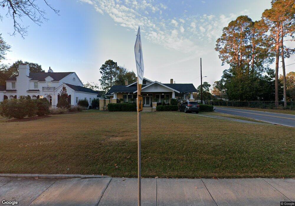
338 Savannah Ave Statesboro, GA 30458
Estimated Value: $284,000 - $392,000
2
Beds
2
Baths
2,464
Sq Ft
$138/Sq Ft
Est. Value
About This Home
This home is located at 338 Savannah Ave, Statesboro, GA 30458 and is currently estimated at $339,982, approximately $137 per square foot. 338 Savannah Ave is a home located in Bulloch County with nearby schools including Statesboro High School, Sallie Zetterower Elementary School, and Langston Chapel Middle School.
Ownership History
Date
Name
Owned For
Owner Type
Purchase Details
Closed on
Jun 22, 2017
Sold by
Smith Fay Foy
Bought by
Smith Rebecca Ann
Current Estimated Value
Purchase Details
Closed on
Feb 1, 1983
Bought by
Smith Fay Foy
Create a Home Valuation Report for This Property
The Home Valuation Report is an in-depth analysis detailing your home's value as well as a comparison with similar homes in the area
Home Values in the Area
Average Home Value in this Area
Purchase History
| Date | Buyer | Sale Price | Title Company |
|---|---|---|---|
| Smith Rebecca Ann | -- | -- | |
| Smith Fay Foy | -- | -- |
Source: Public Records
Tax History Compared to Growth
Tax History
| Year | Tax Paid | Tax Assessment Tax Assessment Total Assessment is a certain percentage of the fair market value that is determined by local assessors to be the total taxable value of land and additions on the property. | Land | Improvement |
|---|---|---|---|---|
| 2024 | $3,456 | $128,100 | $9,600 | $118,500 |
| 2023 | $3,344 | $118,780 | $9,600 | $109,180 |
| 2022 | $1,936 | $100,730 | $9,600 | $91,130 |
| 2021 | $1,610 | $81,834 | $9,600 | $72,234 |
| 2020 | $1,525 | $75,468 | $7,320 | $68,148 |
| 2019 | $1,541 | $75,824 | $7,320 | $68,504 |
| 2018 | $1,583 | $72,745 | $7,320 | $65,425 |
| 2017 | $1,357 | $63,619 | $7,320 | $56,299 |
| 2016 | $1,366 | $62,427 | $7,320 | $55,107 |
| 2015 | $1,300 | $59,263 | $7,320 | $51,943 |
| 2014 | $1,194 | $59,263 | $7,320 | $51,943 |
Source: Public Records
Map
Nearby Homes
- 342 Savannah Ave
- 360 Savannah Ave
- 607 E Jones Ave
- 203 Gentilly Rd
- 118 Lee St
- 403 Granade St
- 105 Griffith Ln Unit LOT 76
- 0 Cone Crescent Unit 10657334
- 316 E Main St
- 112 Stratford St
- 0 Northside Dr E Unit 10610985
- 9 Broad St
- 311 S Zetterower Ave
- LOT 21 Oak Hill Dr
- 141 Griffith Ln
- 0 Highway 67 Unit 10541885
- 2 Ed Moore Ct
- 0 E Main St Unit 10464174
- 0 Green Ridge Ct Unit 40 8990863
- 0 Green Ridge Ct Unit SA344501
- 340 Savannah Ave
- 105 Donehoo St
- 343 Savannah Ave
- 332 Savannah Ave
- 400 E Grady St
- 341 Savannah Ave
- 337 Savannah Ave
- 349 Savannah Ave
- 326 Savannah Ave
- 350 Savannah Ave
- 321 E Grady St
- 335 Savannah Ave
- 351 Savannah Ave
- 324 Savannah Ave
- 319 E Grady St
- 329 Savannah Ave
- 355 Savannah Ave
- 207 Lee St
- 322 Savannah Ave
- 203 Donehoo St