338 Tilden Commons Ln Braintree, MA 02184
South Braintree NeighborhoodEstimated Value: $511,000 - $540,000
2
Beds
2
Baths
1,337
Sq Ft
$395/Sq Ft
Est. Value
About This Home
This home is located at 338 Tilden Commons Ln, Braintree, MA 02184 and is currently estimated at $528,685, approximately $395 per square foot. 338 Tilden Commons Ln is a home located in Norfolk County with nearby schools including Braintree High School, First Baptist Christian School, and CATS Academy Boston.
Ownership History
Date
Name
Owned For
Owner Type
Purchase Details
Closed on
Jul 27, 2016
Sold by
Susan C Hudlin
Bought by
Doyle Marie
Current Estimated Value
Home Financials for this Owner
Home Financials are based on the most recent Mortgage that was taken out on this home.
Original Mortgage
$215,000
Outstanding Balance
$171,379
Interest Rate
3.45%
Estimated Equity
$357,306
Purchase Details
Closed on
Jul 14, 2000
Sold by
Prifti Robert W and Prifti Mary T
Bought by
Hudlin Susan C
Purchase Details
Closed on
Aug 29, 1996
Sold by
Devon Wood Lp
Bought by
Prifti Robert W and Prifti Mary T
Create a Home Valuation Report for This Property
The Home Valuation Report is an in-depth analysis detailing your home's value as well as a comparison with similar homes in the area
Home Values in the Area
Average Home Value in this Area
Purchase History
| Date | Buyer | Sale Price | Title Company |
|---|---|---|---|
| Doyle Marie | -- | -- | |
| Hudlin Susan C | $225,000 | -- | |
| Prifti Robert W | $156,560 | -- |
Source: Public Records
Mortgage History
| Date | Status | Borrower | Loan Amount |
|---|---|---|---|
| Open | Prifti Robert W | $215,000 | |
| Closed | Prifti Robert W | -- | |
| Previous Owner | Prifti Robert W | $240,000 |
Source: Public Records
Tax History Compared to Growth
Tax History
| Year | Tax Paid | Tax Assessment Tax Assessment Total Assessment is a certain percentage of the fair market value that is determined by local assessors to be the total taxable value of land and additions on the property. | Land | Improvement |
|---|---|---|---|---|
| 2025 | $4,905 | $491,500 | $0 | $491,500 |
| 2024 | $4,374 | $461,400 | $0 | $461,400 |
| 2023 | $3,889 | $398,500 | $0 | $398,500 |
| 2022 | $3,686 | $370,500 | $0 | $370,500 |
| 2021 | $3,686 | $370,500 | $0 | $370,500 |
| 2020 | $3,502 | $355,200 | $0 | $355,200 |
| 2019 | $3,425 | $339,400 | $0 | $339,400 |
| 2018 | $3,291 | $312,200 | $0 | $312,200 |
| 2017 | $3,233 | $301,000 | $0 | $301,000 |
| 2016 | $3,059 | $278,600 | $0 | $278,600 |
| 2015 | $2,973 | $268,600 | $0 | $268,600 |
| 2014 | $2,892 | $253,200 | $0 | $253,200 |
Source: Public Records
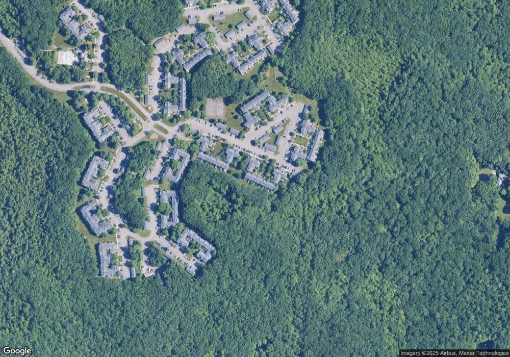
Map
Nearby Homes
- 354 Tilden Commons Ln
- 134 Tyson Commons Ln
- 175 Tyson Commons Ln
- 30 Bradford Commons Ln
- 278 Allerton Commons Ln
- 68 Massapoag St Unit 7
- 308 Forest St
- 57 Daniel Rd
- 16 Jay Rd
- 24 Fisher Rd
- 193 Randolph St
- 70 Christina Dr
- 92 Mercury St
- 120 Randolph St
- 1501 Liberty St
- 432 Grove St
- 16 Millstone Ln
- 116 Cardinal Ct
- 255 West St
- 71 Southern Ave
- 348 Tilden Commons Ln
- 347 Tilden Commons Ln
- 346 Tilden Commons Ln
- 345 Tilden Commons Ln
- 344 Tilden Commons Ln
- 343 Tilden Commons Ln
- 342 Tilden Commons Ln
- 341 Tilden Commons Ln
- 340 Tilden Commons Ln
- 339 Tilden Commons Ln
- 337 Tilden Commons Ln
- 336 Tilden Commons Ln
- 335 Tilden Commons Ln
- 334 Tilden Commons Ln
- 333 Tilden Commons Ln
- 332 Tilden Commons Ln
- 331 Tilden Commons Ln
- 330 Tilden Commons Ln
- 329 Tilden Commons Ln
- 328 Tilden Commons Ln