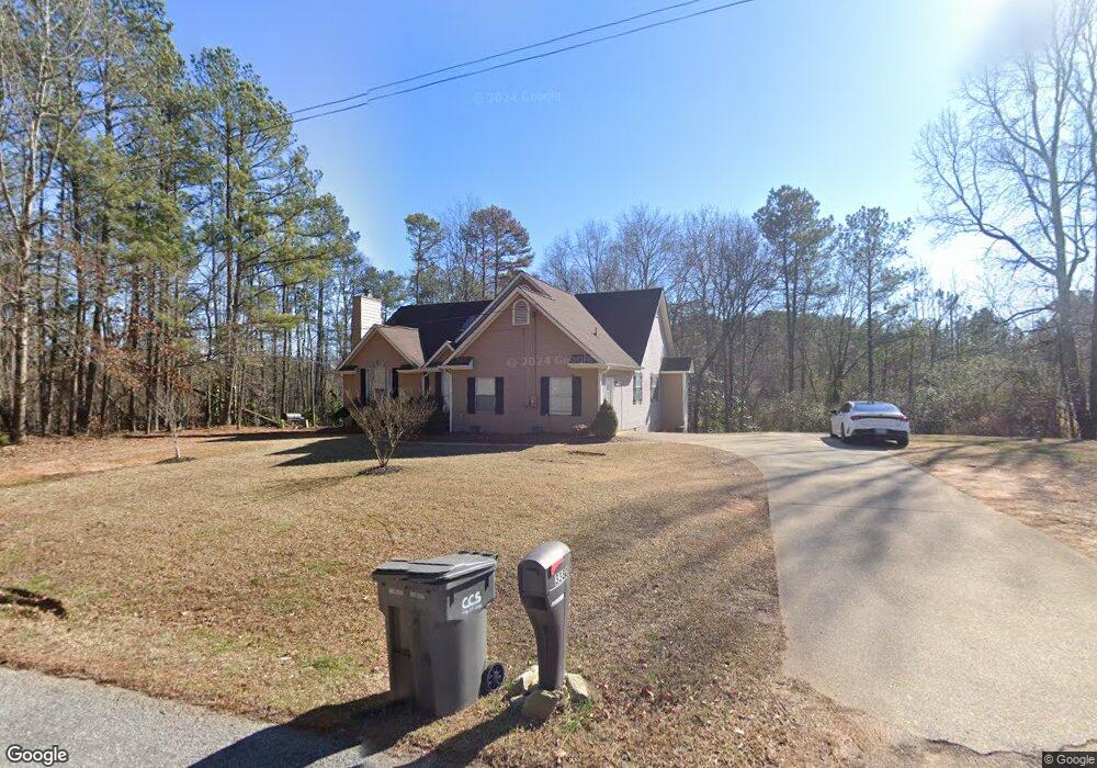
3380 S Baggett Rd Winston, GA 30187
Bill Arp NeighborhoodEstimated Value: $279,925 - $400,000
3
Beds
2
Baths
1,749
Sq Ft
$185/Sq Ft
Est. Value
About This Home
This home is located at 3380 S Baggett Rd, Winston, GA 30187 and is currently estimated at $322,731, approximately $184 per square foot. 3380 S Baggett Rd is a home located in Douglas County with nearby schools including Mason Creek Elementary School, Mason Creek Middle School, and Alexander High School.
Ownership History
Date
Name
Owned For
Owner Type
Purchase Details
Closed on
Jul 2, 2002
Sold by
Sexton Leslie
Bought by
Sexton Leslie and Sexton Kathy
Current Estimated Value
Home Financials for this Owner
Home Financials are based on the most recent Mortgage that was taken out on this home.
Original Mortgage
$12,700
Interest Rate
6.67%
Mortgage Type
Credit Line Revolving
Create a Home Valuation Report for This Property
The Home Valuation Report is an in-depth analysis detailing your home's value as well as a comparison with similar homes in the area
Home Values in the Area
Average Home Value in this Area
Purchase History
| Date | Buyer | Sale Price | Title Company |
|---|---|---|---|
| Sexton Leslie | -- | -- | |
| Sexton Leslie | -- | -- |
Source: Public Records
Mortgage History
| Date | Status | Borrower | Loan Amount |
|---|---|---|---|
| Previous Owner | Sexton Leslie | $12,700 | |
| Previous Owner | Sexton Leslie | $101,600 |
Source: Public Records
Tax History Compared to Growth
Tax History
| Year | Tax Paid | Tax Assessment Tax Assessment Total Assessment is a certain percentage of the fair market value that is determined by local assessors to be the total taxable value of land and additions on the property. | Land | Improvement |
|---|---|---|---|---|
| 2024 | $2,097 | $83,520 | $14,240 | $69,280 |
| 2023 | $2,097 | $83,520 | $14,240 | $69,280 |
| 2022 | $1,871 | $68,720 | $10,160 | $58,560 |
| 2021 | $1,611 | $55,600 | $10,160 | $45,440 |
| 2020 | $1,642 | $55,600 | $10,160 | $45,440 |
| 2019 | $1,486 | $53,120 | $10,160 | $42,960 |
| 2018 | $1,458 | $51,400 | $10,160 | $41,240 |
| 2017 | $1,309 | $44,560 | $8,200 | $36,360 |
| 2016 | $1,220 | $41,120 | $7,800 | $33,320 |
| 2015 | $1,108 | $38,280 | $7,520 | $30,760 |
| 2014 | $1,108 | $36,320 | $9,000 | $27,320 |
| 2013 | -- | $39,040 | $10,600 | $28,440 |
Source: Public Records
Map
Nearby Homes
- 3630 Falls Trail
- 7533 Mason Falls Dr
- 3721 Mason Creek Rd
- 3096 Campground Rd
- 0 Cowan Ridge Dr Unit 10225526
- 3761 Mason Ridge Dr Unit 6
- 3737 Falls Trail
- 3792 Falls Trail
- 2967 Ward Dr
- 6776 Birch Rd
- 3741 100 Rd
- 7771 Mattie McCoy Ln
- 3743 Johnston Rd
- 6662 Birchwood Ct
- 6854 John West Rd
- 7268 Berea Rd
- 2771 Mann Rd
- 3677 Bright Star Rd
- 3320 Mason Creek Rd
- 3384 Mason Creek Rd
- 3391 Mason Creek Rd
- 3419 Mason Creek Rd
- 3332 Franklin Forest Dr
- 7452 Mason Falls Ct Unit 58
- 7452 Mason Falls Ct
- 3330 Franklin Forest Dr
- 3334 Franklin Forest Dr
- 3334 Franklin Forest Dr
- 3326 Franklin Forest Dr
- 7445 Mason Falls Ct
- 3385 Mason Creek Rd
- 3381 Mason Creek Rd
- 7448 Mason Falls Ct Unit 2
- 3316 Franklin Forest Dr
- 3340 Franklin Forest Dr
- 3329 Franklin Forest Dr
- 0 Franklin Forest Dr Unit 7391403
- 0 Franklin Forest Dr Unit 8832130