Estimated Value: $298,000 - $352,435
3
Beds
3
Baths
2,600
Sq Ft
$126/Sq Ft
Est. Value
About This Home
This home is located at 33810 State Highway Pp, Macon, MO 63552 and is currently estimated at $328,812, approximately $126 per square foot. 33810 State Highway Pp is a home located in Macon County with nearby schools including Macon Elementary School, Family Literacy Center, and Macon Middle School.
Ownership History
Date
Name
Owned For
Owner Type
Purchase Details
Closed on
Aug 30, 2019
Sold by
Arnold Timothy W and Arnold Carrine
Bought by
Prentzler Jamie and Prentzler Beth
Current Estimated Value
Home Financials for this Owner
Home Financials are based on the most recent Mortgage that was taken out on this home.
Original Mortgage
$258,400
Interest Rate
3.5%
Mortgage Type
Construction
Purchase Details
Closed on
Mar 3, 2015
Sold by
Johnson Timothy D and Johnson Gerardette
Bought by
Arnold Timothy W and Arnold Carrine
Create a Home Valuation Report for This Property
The Home Valuation Report is an in-depth analysis detailing your home's value as well as a comparison with similar homes in the area
Home Values in the Area
Average Home Value in this Area
Purchase History
| Date | Buyer | Sale Price | Title Company |
|---|---|---|---|
| Prentzler Jamie | $323,000 | American Title Abstract | |
| Arnold Timothy W | -- | -- |
Source: Public Records
Mortgage History
| Date | Status | Borrower | Loan Amount |
|---|---|---|---|
| Previous Owner | Prentzler Jamie | $258,400 |
Source: Public Records
Tax History Compared to Growth
Tax History
| Year | Tax Paid | Tax Assessment Tax Assessment Total Assessment is a certain percentage of the fair market value that is determined by local assessors to be the total taxable value of land and additions on the property. | Land | Improvement |
|---|---|---|---|---|
| 2025 | $2,182 | $47,400 | $4,800 | $42,600 |
| 2024 | $2,182 | $42,290 | $0 | $0 |
| 2023 | $2,173 | $42,290 | $0 | $0 |
| 2022 | $2,023 | $42,290 | $0 | $0 |
| 2021 | $2,012 | $39,430 | $0 | $0 |
| 2020 | $2,022 | $39,430 | $0 | $0 |
| 2019 | $2,016 | $39,430 | $39,430 | $0 |
| 2018 | $1,930 | $39,430 | $39,430 | $0 |
| 2017 | $1,782 | $207,500 | $22,520 | $184,980 |
| 2016 | $1,734 | $39,430 | $0 | $0 |
| 2015 | -- | $40,070 | $0 | $0 |
| 2014 | -- | $36,240 | $0 | $0 |
| 2012 | -- | $36,240 | $0 | $0 |
Source: Public Records
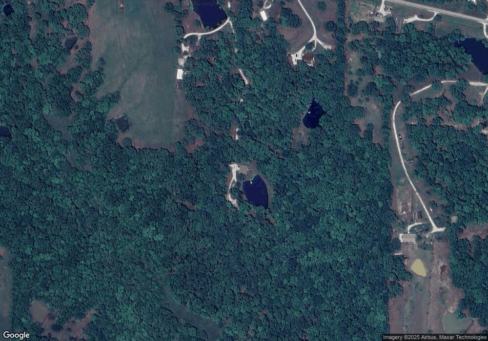
Map
Nearby Homes
- 31822 Lochs Place
- 0 State Highway Pp
- 1604 Sherwood Dr
- 1419 Rosewood Terrace
- 1008 Walnut St
- 0 Cher Ct
- 804 Maple Ln
- 902 Lawndale Dr
- 1006 Crestview Dr
- 000 U S 36 Business
- 302 Jackson St
- 801 Overbrook Dr
- 510 Jackson St
- 109 N Rubey St
- 102 W 2nd St
- 1105 Maffry Ave
- 1201 Maffry Ave
- 902 Jackson St
- 801 Jackson St
- 117 N Rollins St
- 33886 State Highway Pp
- 33747 State Highway Pp
- 33814 State Highway Pp
- 33612 State Highway Pp
- 33892 State Highway Pp
- 33956 State Highway Pp
- 34114 State Highway Pp
- 33673 State Highway Pp
- 33641 Lexington Place
- 33991 State Highway Pp
- 33461 State Highway Pp
- 34179 State Highway Pp
- 34011 State Highway Pp
- 33517 Lexington Place
- 33469 State Highway Pp
- 33547 State Highway Pp
- 33412 State Highway Pp
- 33744 Lexington Place
- 34158 State Highway Pp
- 33586 Lexington Place