33827 Canaan Rd Deer Island, OR 97054
Estimated Value: $528,961 - $630,000
3
Beds
1
Bath
1,512
Sq Ft
$383/Sq Ft
Est. Value
About This Home
This home is located at 33827 Canaan Rd, Deer Island, OR 97054 and is currently estimated at $579,481, approximately $383 per square foot. 33827 Canaan Rd is a home located in Columbia County with nearby schools including St. Helens High School.
Ownership History
Date
Name
Owned For
Owner Type
Purchase Details
Closed on
Sep 6, 2007
Sold by
Plahn Mark A
Bought by
Luttrell Michael E
Current Estimated Value
Home Financials for this Owner
Home Financials are based on the most recent Mortgage that was taken out on this home.
Original Mortgage
$228,000
Outstanding Balance
$145,092
Interest Rate
6.67%
Mortgage Type
Purchase Money Mortgage
Estimated Equity
$434,389
Create a Home Valuation Report for This Property
The Home Valuation Report is an in-depth analysis detailing your home's value as well as a comparison with similar homes in the area
Home Values in the Area
Average Home Value in this Area
Purchase History
| Date | Buyer | Sale Price | Title Company |
|---|---|---|---|
| Luttrell Michael E | $285,000 | Ticor Title |
Source: Public Records
Mortgage History
| Date | Status | Borrower | Loan Amount |
|---|---|---|---|
| Open | Luttrell Michael E | $228,000 |
Source: Public Records
Tax History Compared to Growth
Tax History
| Year | Tax Paid | Tax Assessment Tax Assessment Total Assessment is a certain percentage of the fair market value that is determined by local assessors to be the total taxable value of land and additions on the property. | Land | Improvement |
|---|---|---|---|---|
| 2024 | $4,337 | $312,070 | $156,200 | $155,870 |
| 2023 | $4,280 | $302,990 | $153,640 | $149,350 |
| 2022 | $4,100 | $294,170 | $148,860 | $145,310 |
| 2021 | $3,733 | $285,610 | $128,580 | $157,030 |
| 2020 | $3,587 | $277,300 | $139,640 | $137,660 |
| 2019 | $3,540 | $269,230 | $135,282 | $133,948 |
| 2018 | $3,362 | $261,390 | $176,980 | $84,410 |
| 2017 | $3,275 | $253,780 | $171,830 | $81,950 |
| 2016 | $3,237 | $246,390 | $166,830 | $79,560 |
| 2015 | $3,207 | $239,220 | $115,660 | $123,560 |
| 2014 | $3,058 | $232,260 | $117,250 | $115,010 |
Source: Public Records
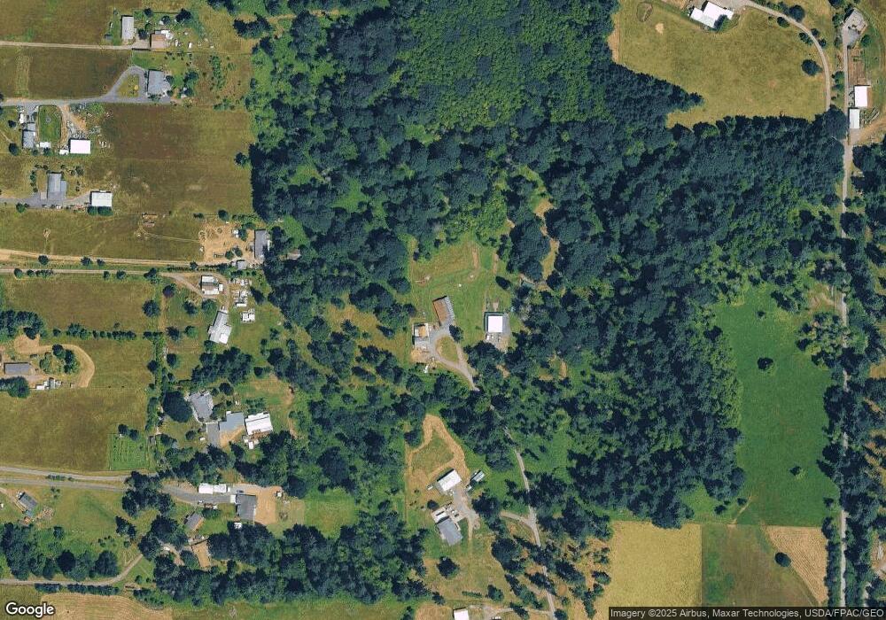
Map
Nearby Homes
- 34521 Big Meadow Ln
- 32580 Tide Creek Rd
- 31100 Harris Rd
- 66502 Doetsch Rd
- 0 Orr Rd
- 0 Ring Rd
- 30180 Carrico Valley Rd
- 3305 Park Dr
- 29975 E Meissner Rd
- 550 Skookum Ct
- 300 Daves View Dr
- 194 River Ridge Ln
- 61741 Riggs Rd
- 1415 Cloverdale Rd
- 61375 Barger Rd
- 61241 Perry Creek Rd
- 0 Olivia Ln Unit NWM2331356
- 0 Olivia Ln Unit O 697614065
- 0 Olivia Ln Unit Q 262345832
- 362 Olivia Ln
- 33825 Canaan Rd
- 65194 Olson Rd
- 65156 Olson Rd
- 65060 Olson Rd
- 65004 Olson Rd
- 33733 Canaan Rd
- 65280 Olson Rd
- 65222 Olson Rd
- 65318 Olson Rd
- 33727 Canaan Rd
- 33993 Lawrence Rd
- 33673 Canaan Rd
- 33673 Canaan Rd Unit 1
- 33913 Lawrence Rd
- 33766 Canaan Rd
- 65390 Olson Rd
- 33997 Lawrence Rd
- 65380 Olson Rd
- 33515 Canaan Rd
- 33940 Lawrence Rd Unit 33