Estimated Value: $230,150 - $288,000
2
Beds
1
Bath
1,168
Sq Ft
$232/Sq Ft
Est. Value
About This Home
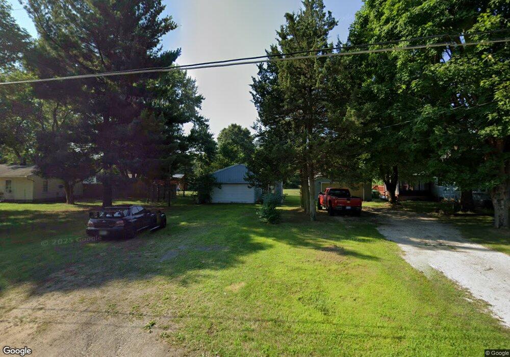
This home is located at 33849 Bertrand St, Niles, MI 49120 and is currently estimated at $271,038, approximately $232 per square foot. 33849 Bertrand St is a home located in Cass County with nearby schools including Merritt Elementary School, Brandywine Elementary School, and Brandywine Middle School.
Ownership History
Date
Name
Owned For
Owner Type
Purchase Details
Closed on
May 26, 2017
Sold by
Jordan John D and Corroto Melinda A
Bought by
Loging Faith and Wierzbicki Adam
Current Estimated Value
Home Financials for this Owner
Home Financials are based on the most recent Mortgage that was taken out on this home.
Original Mortgage
$84,390
Outstanding Balance
$70,099
Interest Rate
3.97%
Estimated Equity
$200,939
Purchase Details
Closed on
Jan 8, 2015
Sold by
Jordan John D and Carroto Melinda A
Bought by
Jordan John D and Carroto Melinda A
Create a Home Valuation Report for This Property
The Home Valuation Report is an in-depth analysis detailing your home's value as well as a comparison with similar homes in the area
Home Values in the Area
Average Home Value in this Area
Purchase History
| Date | Buyer | Sale Price | Title Company |
|---|---|---|---|
| Loging Faith | $87,000 | Chicago Title | |
| Jordan John D | -- | None Available |
Source: Public Records
Mortgage History
| Date | Status | Borrower | Loan Amount |
|---|---|---|---|
| Open | Loging Faith | $84,390 |
Source: Public Records
Tax History Compared to Growth
Tax History
| Year | Tax Paid | Tax Assessment Tax Assessment Total Assessment is a certain percentage of the fair market value that is determined by local assessors to be the total taxable value of land and additions on the property. | Land | Improvement |
|---|---|---|---|---|
| 2025 | $1,866 | $108,900 | $108,900 | $0 |
| 2024 | $767 | $99,300 | $99,300 | $0 |
| 2023 | $731 | $91,700 | $0 | $0 |
| 2022 | $697 | $74,800 | $0 | $0 |
| 2021 | $1,618 | $63,500 | $0 | $0 |
| 2020 | $1,617 | $64,100 | $0 | $0 |
| 2019 | $1,558 | $62,000 | $0 | $0 |
| 2018 | $641 | $59,700 | $0 | $0 |
| 2017 | $441 | $54,700 | $0 | $0 |
| 2016 | $437 | $53,300 | $0 | $0 |
| 2015 | -- | $55,000 | $0 | $0 |
| 2011 | -- | $59,200 | $0 | $0 |
Source: Public Records
Map
Nearby Homes
- 70700 Ironwood Dr
- VL Washington St
- 70170 Ironwood Dr
- 33363 Bertrand St
- 70661 Dennis Dr
- 33764 Judy Ln
- 2006 Ontario Rd Unit 78
- 2751 West St
- 2711 Sugarberry Ln
- 2723 Sugarberry Ln
- 2801 Primrose Ct
- 32898 Bertrand St
- 2762 Sugarberry Ln Unit 84
- 2408 S 16th St
- 50525 Allegheny Ct
- 33192 Old Post Rd
- 0 Fulkerson Rd
- VL Fulkerson Rd
- 69306 Ironwood Dr
- Lot #6 Pine Ridge Dr
- 33825 Bertrand St
- 33858 Bertrand St
- 33840 Bertrand St
- 33822 Bertrand St
- 33891 Bertrand St
- 33891 Bertrand St
- 33792 Bertrand St
- 33890 Bertrand St
- 70620 Ironwood Dr
- 70620 Ironwood Dr
- 33914 Bertrand St
- 33919 Bertrand St
- 33774 Bertrand St
- 70653 Nicholas Way
- 33935 Bertrand St
- 70502 Ironwood Dr
- 70660 Ironwood Dr
- 33727 Bertrand St
- 33944 Bertrand St
- 70635 Ironwood Dr