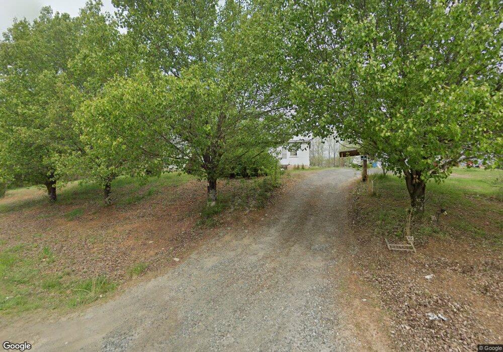
3385 Dodgetown Rd Walnut Cove, NC 27052
Estimated Value: $134,293 - $233,000
3
Beds
1
Bath
1,188
Sq Ft
$155/Sq Ft
Est. Value
About This Home
This home is located at 3385 Dodgetown Rd, Walnut Cove, NC 27052 and is currently estimated at $184,573, approximately $155 per square foot. 3385 Dodgetown Rd is a home located in Stokes County with nearby schools including Walnut Cove Elementary School, Southeastern Stokes Middle School, and South Stokes High.
Ownership History
Date
Name
Owned For
Owner Type
Purchase Details
Closed on
Mar 20, 2006
Sold by
Parsons John R and Parsons Marilyn M
Bought by
Wood Rodney Dale and Wood Mary Evonne
Current Estimated Value
Home Financials for this Owner
Home Financials are based on the most recent Mortgage that was taken out on this home.
Original Mortgage
$50,000
Interest Rate
6.19%
Mortgage Type
Seller Take Back
Create a Home Valuation Report for This Property
The Home Valuation Report is an in-depth analysis detailing your home's value as well as a comparison with similar homes in the area
Purchase History
| Date | Buyer | Sale Price | Title Company |
|---|---|---|---|
| Wood Rodney Dale | $55,000 | None Available |
Source: Public Records
Mortgage History
| Date | Status | Borrower | Loan Amount |
|---|---|---|---|
| Closed | Wood Rodney Dale | $50,000 |
Source: Public Records
Tax History
| Year | Tax Paid | Tax Assessment Tax Assessment Total Assessment is a certain percentage of the fair market value that is determined by local assessors to be the total taxable value of land and additions on the property. | Land | Improvement |
|---|---|---|---|---|
| 2025 | $657 | $91,900 | $27,800 | $64,100 |
| 2024 | $657 | $77,600 | $25,000 | $52,600 |
| 2023 | $629 | $77,600 | $25,000 | $52,600 |
| 2022 | $574 | $77,600 | $25,000 | $52,600 |
| 2021 | $574 | $77,600 | $25,000 | $52,600 |
| 2020 | $505 | $68,300 | $22,800 | $45,500 |
| 2019 | $505 | $68,300 | $22,800 | $45,500 |
| 2018 | $505 | $68,300 | $22,800 | $45,500 |
| 2017 | $502 | $68,300 | $22,800 | $45,500 |
| 2016 | $486 | $66,100 | $22,800 | $43,300 |
| 2015 | $483 | $66,100 | $22,800 | $43,300 |
| 2014 | $505 | $66,100 | $22,800 | $43,300 |
Source: Public Records
Map
Nearby Homes
- 0 Dodgetown Rd
- 3878 Nc Highway 772
- Lot 3 Bunker Hill Rd
- 1849 Mission Extension Rd
- 2025 Hickory Fork Rd
- 3C Jimmie Bullins Rd
- 1065 Power Dam Rd
- 0 Aaron Ln
- 1283 Gene Martin Rd
- 1029 Lee Acres Dr
- 1040 Pink Smith Rd
- 1010 Saint Charles Way
- 0 Doug Stanley Rd Unit 1205813
- 1260 Beaver Island Trail Rd
- 1260 Beaver Island Trail
- 1582 Seven Island Rd
- 1580 Seven Island Rd
- 1344-1540 N Carolina 89 Unit 90+/- AC north tract
- 01 N Carolina 89 Unit Tract C (21ac)
- 8120 Highway 704
- 3382 Dodgetown Rd
- 3397 Dodgetown Rd
- 3407 Dodgetown Rd
- 3459 Dodgetown Rd
- 1075 Glidewell Ln
- 1015 Glidewell Ln
- 3507 Dodgetown Rd
- 3521 Dodgetown Rd
- 1170 Glidewell Ln
- 3556 Dodgetown Rd
- 3560 Dodgetown Rd
- 3209 Dodgetown Rd
- 1192 Glidewell Ln
- 3270 Dodgetown Rd
- 1330 Our Farm Way
- 1057 Rockbar Rd
- 3603 Dodgetown Rd
- 3246 Dodgetown Rd
- 3600 Dodgetown Rd
- 1108 Rockbar Rd
Your Personal Tour Guide
Ask me questions while you tour the home.