3385 N 650 E Andrews, IN 46702
Estimated Value: $170,000 - $432,000
4
Beds
1
Bath
1,816
Sq Ft
$135/Sq Ft
Est. Value
About This Home
This home is located at 3385 N 650 E, Andrews, IN 46702 and is currently estimated at $246,059, approximately $135 per square foot. 3385 N 650 E is a home located in Wabash County.
Ownership History
Date
Name
Owned For
Owner Type
Purchase Details
Closed on
Mar 31, 2020
Sold by
Rosen Christian M
Bought by
Elliott Luke A
Current Estimated Value
Home Financials for this Owner
Home Financials are based on the most recent Mortgage that was taken out on this home.
Original Mortgage
$84,800
Outstanding Balance
$75,123
Interest Rate
3.4%
Mortgage Type
New Conventional
Estimated Equity
$170,936
Purchase Details
Closed on
Nov 20, 2019
Sold by
White Richard Allen and White Ruth Ann
Bought by
Rosen Christian M
Home Financials for this Owner
Home Financials are based on the most recent Mortgage that was taken out on this home.
Original Mortgage
$472,000
Interest Rate
3.5%
Purchase Details
Closed on
Mar 14, 2019
Sold by
White Matthew A
Bought by
White Richard Allen and White Ruth Ann
Create a Home Valuation Report for This Property
The Home Valuation Report is an in-depth analysis detailing your home's value as well as a comparison with similar homes in the area
Home Values in the Area
Average Home Value in this Area
Purchase History
| Date | Buyer | Sale Price | Title Company |
|---|---|---|---|
| Elliott Luke A | -- | None Available | |
| Rosen Christian M | -- | None Available | |
| White Richard Allen | $100,000 | Downs Tandy & Petruniw, Pc |
Source: Public Records
Mortgage History
| Date | Status | Borrower | Loan Amount |
|---|---|---|---|
| Open | Elliott Luke A | $84,800 | |
| Previous Owner | Rosen Christian M | $472,000 |
Source: Public Records
Tax History Compared to Growth
Tax History
| Year | Tax Paid | Tax Assessment Tax Assessment Total Assessment is a certain percentage of the fair market value that is determined by local assessors to be the total taxable value of land and additions on the property. | Land | Improvement |
|---|---|---|---|---|
| 2024 | $675 | $128,300 | $19,100 | $109,200 |
| 2023 | $635 | $124,900 | $19,100 | $105,800 |
| 2022 | $482 | $116,100 | $19,100 | $97,000 |
| 2021 | $437 | $103,500 | $16,100 | $87,400 |
| 2020 | $375 | $97,300 | $16,100 | $81,200 |
| 2019 | $343 | $95,400 | $16,100 | $79,300 |
| 2018 | $333 | $93,400 | $16,100 | $77,300 |
| 2017 | $319 | $91,100 | $16,200 | $74,900 |
| 2016 | $230 | $89,000 | $16,200 | $72,800 |
| 2014 | $195 | $81,400 | $16,200 | $65,200 |
| 2013 | -- | $79,900 | $16,200 | $63,700 |
Source: Public Records
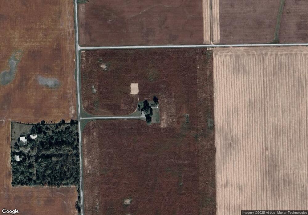
Map
Nearby Homes
- 2848 N 800 E
- 330 W Mckeever St
- 874 N Jackson St
- 187 S Snowden St
- 63 E Mckeever St
- 460 Main St
- TBD W Maple Grove Rd
- 5533 N 150 E
- 1957 E State Road 524
- 2642 N 100 E
- 2071 Hoover Rd
- 00 S 600 E
- 5725 W 600 N
- 5562 W 100 N
- 80 S Washington St
- TBD 495 N
- 1920 Hunters Ridge Dr
- 6709 N Goshen Rd
- 58 Quayle Run
- 92 S 425 W
- 3330 N 650 E
- 7063 E 350 N
- 6427 E 300 N
- 3867 N 650 E
- 6801 E 400 N
- 6910 E 400 N Unit 2
- 6910 E 400 N Unit 3
- 0 N 650 E Unit 201543349
- 0 N 650 E Unit 201653343
- 0 N 650 E Unit 201622293
- 6068 E 300 N
- 3454 N 600 E
- 2655 N 650 E
- 3806 N 600 E
- 3826 N 600 E
- 4190 N 650 E
- 5873 E 300 N
- 5830 E 300 N
- 6938 E 250 N
- 6174 E 400 N