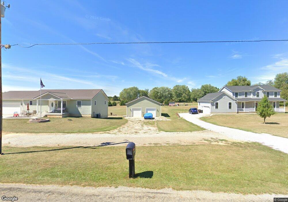
3385 Stringtown Rd NW Lancaster, OH 43130
Estimated Value: $229,000 - $461,000
2
Beds
2
Baths
1,408
Sq Ft
$268/Sq Ft
Est. Value
About This Home
This home is located at 3385 Stringtown Rd NW, Lancaster, OH 43130 and is currently estimated at $376,752, approximately $267 per square foot. 3385 Stringtown Rd NW is a home with nearby schools including Bloom Carroll Primary School, Bloom Carroll Intermediate School, and Bloom-Carroll Middle School.
Ownership History
Date
Name
Owned For
Owner Type
Purchase Details
Closed on
Nov 24, 2021
Sold by
Ratliff Connie L
Bought by
Ratliff Miles T
Current Estimated Value
Home Financials for this Owner
Home Financials are based on the most recent Mortgage that was taken out on this home.
Original Mortgage
$173,500
Outstanding Balance
$159,638
Interest Rate
3.14%
Mortgage Type
New Conventional
Estimated Equity
$217,114
Purchase Details
Closed on
Apr 15, 2008
Sold by
Barone Joseph J
Bought by
Woodward Michael W and Woodward Linda E
Create a Home Valuation Report for This Property
The Home Valuation Report is an in-depth analysis detailing your home's value as well as a comparison with similar homes in the area
Home Values in the Area
Average Home Value in this Area
Purchase History
| Date | Buyer | Sale Price | Title Company |
|---|---|---|---|
| Ratliff Miles T | -- | Timios Inc | |
| Woodward Michael W | -- | None Available |
Source: Public Records
Mortgage History
| Date | Status | Borrower | Loan Amount |
|---|---|---|---|
| Open | Ratliff Miles T | $173,500 |
Source: Public Records
Tax History Compared to Growth
Tax History
| Year | Tax Paid | Tax Assessment Tax Assessment Total Assessment is a certain percentage of the fair market value that is determined by local assessors to be the total taxable value of land and additions on the property. | Land | Improvement |
|---|---|---|---|---|
| 2024 | $8,733 | $108,210 | $23,100 | $85,110 |
| 2023 | $4,728 | $108,210 | $23,100 | $85,110 |
| 2022 | $4,762 | $108,210 | $23,100 | $85,110 |
| 2021 | $3,800 | $82,980 | $19,250 | $63,730 |
| 2020 | $1,771 | $38,370 | $19,250 | $19,120 |
| 2019 | $692 | $14,880 | $14,880 | $0 |
| 2018 | $699 | $15,400 | $15,400 | $0 |
| 2017 | $657 | $15,400 | $15,400 | $0 |
| 2016 | $637 | $15,400 | $15,400 | $0 |
| 2015 | $655 | $15,400 | $15,400 | $0 |
| 2014 | $626 | $15,400 | $15,400 | $0 |
| 2013 | $626 | $15,400 | $15,400 | $0 |
Source: Public Records
Map
Nearby Homes
- 0 Coonpath Rd NW Unit Tract 4 224028093
- 0 Coonpath Rd NW Unit Tract 7 224028097
- 2865 Stringtown Rd NW
- 465 Ginder Rd NW
- 1080 Coonpath Rd NW
- 0 Tschopp Rd NE Unit Lot 17 225027320
- 0 Tschopp Rd NE Unit Lot 33 225027324
- 0 Fremar Rd NE Unit Lot1 225007256
- 626 Rainbow Dr NW
- 0 Marquette Dr NE Unit Lot 16 225027323
- 0 Marquette Dr NE Unit Lot 4 225007276
- 2149 Pleasantview Dr NE
- 173 Lakeview Dr NE
- 4345 Lancaster Kirkersville Rd NW
- 2195 William T Cir
- 0 Stringtown Rd NW
- 1801 Pleasantview Dr NE
- 1705 Ginder Rd NW
- 1470 Hillbrook Dr NE
- 1750 Coonpath Rd NE Unit Tract 5
- 3349 Stringtown Rd NW
- 3167 Stringtown Rd NW
- 3141 Stringtown Rd NW
- 3196 Stringtown Rd NE
- 3115 Stringtown Rd NW
- 3098 Stringtown Rd NE
- 3087 Stringtown Rd NW
- 3259 Stringtown Rd NW
- 3270 Stringtown Rd NE
- 50 Coonpath Rd NW
- 20 Coonpath Rd NE
- 100 Coonpath Rd NW
- 110 Coonpath Rd NW
- 3301 Stringtown Rd NW
- 0 Coonpath Rd NW
- 0 Coonpath Rd NW Unit 2623828
- 0 Coonpath Rd NW Unit 2447344
- 0 Coonpath Rd NW Unit 2432775
- 0 Coonpath Rd NW Unit 2131582
- 0 Coonpath Rd NW Unit 7 9707259