Estimated Value: $276,000 - $374,497
4
Beds
4
Baths
1,568
Sq Ft
$207/Sq Ft
Est. Value
About This Home
This home is located at 33850 Alman Rd, Colon, MI 49040 and is currently estimated at $324,124, approximately $206 per square foot. 33850 Alman Rd is a home located in St. Joseph County.
Ownership History
Date
Name
Owned For
Owner Type
Purchase Details
Closed on
Apr 12, 2016
Sold by
Stutzman Timothy E and Stutzman Martha B
Bought by
The Living Trust Of Timothy Earl Stutzma and Stutzman Martha Blair
Current Estimated Value
Purchase Details
Closed on
Nov 19, 2010
Sold by
Reh Gordon W and Reh Diane M
Bought by
Stutzman Timothy E and Stutzman Martha B
Purchase Details
Closed on
Sep 18, 2009
Sold by
Reh Gordon W and Reh Diane M
Bought by
Stutzman Timothy E and Stutzman Martha B
Purchase Details
Closed on
May 25, 2004
Sold by
Reh Gordon W and Reh Theodore V
Bought by
Reh Gordon W and Reh Diane M
Purchase Details
Closed on
Dec 10, 2001
Sold by
Reh Gordon W and Reh Diane M
Bought by
Reh Gordon W and Reh Theodore
Purchase Details
Closed on
Nov 27, 2000
Sold by
Reh Gordon W and Reh Diane M
Bought by
Reh Gordon W and Reh Diane M
Purchase Details
Closed on
Aug 6, 1998
Purchase Details
Closed on
Jul 31, 1998
Purchase Details
Closed on
Jun 27, 1996
Create a Home Valuation Report for This Property
The Home Valuation Report is an in-depth analysis detailing your home's value as well as a comparison with similar homes in the area
Home Values in the Area
Average Home Value in this Area
Purchase History
| Date | Buyer | Sale Price | Title Company |
|---|---|---|---|
| The Living Trust Of Timothy Earl Stutzma | -- | Attorney | |
| Stutzman Timothy E | $283,000 | Vt | |
| Stutzman Timothy E | -- | None Available | |
| Reh Gordon W | -- | -- | |
| Reh Gordon W | -- | -- | |
| Reh Gordon W | -- | -- | |
| -- | -- | -- | |
| -- | -- | -- | |
| -- | -- | -- | |
| -- | -- | -- |
Source: Public Records
Tax History Compared to Growth
Tax History
| Year | Tax Paid | Tax Assessment Tax Assessment Total Assessment is a certain percentage of the fair market value that is determined by local assessors to be the total taxable value of land and additions on the property. | Land | Improvement |
|---|---|---|---|---|
| 2025 | $3,205 | $164,100 | $13,100 | $151,000 |
| 2024 | $1,165 | $161,700 | $13,100 | $148,600 |
| 2023 | $1,110 | $146,100 | $13,100 | $133,000 |
| 2022 | $0 | $141,400 | $10,500 | $130,900 |
| 2021 | $2,873 | $112,700 | $10,500 | $102,200 |
| 2020 | $2,873 | $95,000 | $9,500 | $85,500 |
| 2019 | $1,163 | $109,200 | $9,500 | $99,700 |
| 2018 | $2,731 | $98,200 | $9,500 | $88,700 |
| 2017 | $2,937 | $118,100 | $118,100 | $0 |
| 2016 | -- | $114,100 | $114,100 | $0 |
| 2015 | -- | $116,400 | $0 | $0 |
| 2014 | -- | $107,600 | $107,600 | $0 |
| 2012 | -- | $108,100 | $108,100 | $0 |
Source: Public Records
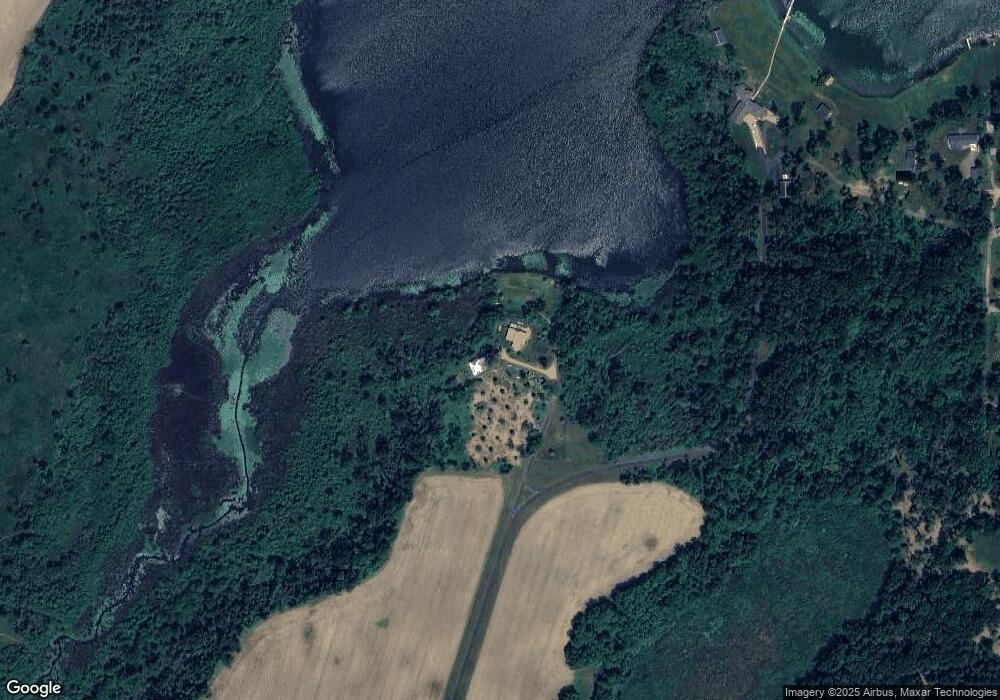
Map
Nearby Homes
- 774 Ralston Rd
- VL Heights Dr
- 881 Brent Dr
- 0 N Burr Oak Rd
- 893 Vogel Dr
- 0 Dunks Rd
- 140 W Clay St
- 0 N Main St Unit Vacant
- 457 S Burr Oak Rd
- 210 E South St
- 31765 Michigan 60
- 31688 W Colon Rd
- 30879 Michigan 60
- v/l Oliverda Rd
- 906 Bowman St
- 30725 Orla Engle Rd
- 448 Long Lake Rd
- 0 S Farrand Unit 25051538
- 110 Dotson Dr
- 59178 Nora Dr
- 33982 Alman Rd
- 1290 Goodrich Lake Dr
- 1277 Goodrich Lake Dr
- 1281 Goodrich Lake Dr
- 1282 Goodrich Lake Dr
- 1275 Goodrich Lake Dr
- 1280 Goodrich Lake Dr
- 1269 Goodrich Lake Dr
- 1273 Goodrich Lake Dr
- 1276 Goodrich Lake Dr
- 1270 Goodrich Lake Dr
- 1260 Goodrich Lake Dr
- 1258 Goodrich Lake Dr
- 1251 Goodrich Lake Dr
- 1254 Goodrich Lake Dr
- 140 Goodrich Lake Dr
- 33783 Lowland Rd
- 1250 Goodrich Lake Dr
- 747 Ralston Rd
- 1246 Goodrich Lake Dr