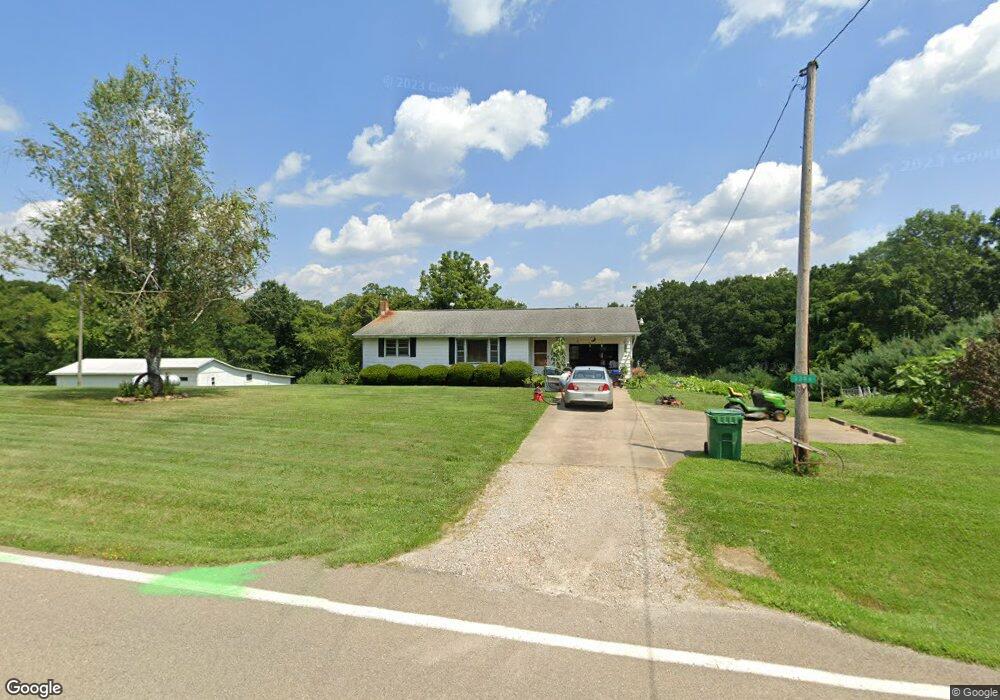
3386 State Route 83 Beverly, OH 45715
Estimated Value: $175,853 - $215,000
2
Beds
1
Bath
920
Sq Ft
$205/Sq Ft
Est. Value
About This Home
This home is located at 3386 State Route 83, Beverly, OH 45715 and is currently estimated at $188,713, approximately $205 per square foot. 3386 State Route 83 is a home located in Morgan County with nearby schools including Fort Frye High School.
Ownership History
Date
Name
Owned For
Owner Type
Purchase Details
Closed on
Dec 15, 2010
Sold by
Harper James Randy and Estate Of John W Harper
Bought by
Ferguson Tyler
Current Estimated Value
Home Financials for this Owner
Home Financials are based on the most recent Mortgage that was taken out on this home.
Original Mortgage
$72,000
Outstanding Balance
$47,424
Interest Rate
4.16%
Mortgage Type
New Conventional
Estimated Equity
$141,289
Purchase Details
Closed on
Jul 5, 2002
Sold by
Harper John W and Harper Elaine
Bought by
Harper John W
Create a Home Valuation Report for This Property
The Home Valuation Report is an in-depth analysis detailing your home's value as well as a comparison with similar homes in the area
Purchase History
| Date | Buyer | Sale Price | Title Company |
|---|---|---|---|
| Ferguson Tyler | $90,000 | None Available | |
| Harper John W | -- | -- |
Source: Public Records
Mortgage History
| Date | Status | Borrower | Loan Amount |
|---|---|---|---|
| Open | Ferguson Tyler | $72,000 |
Source: Public Records
Tax History
| Year | Tax Paid | Tax Assessment Tax Assessment Total Assessment is a certain percentage of the fair market value that is determined by local assessors to be the total taxable value of land and additions on the property. | Land | Improvement |
|---|---|---|---|---|
| 2024 | $1,150 | $43,520 | $16,890 | $26,630 |
| 2023 | $883 | $34,700 | $14,390 | $20,310 |
| 2022 | $865 | $34,700 | $14,390 | $20,310 |
| 2021 | $870 | $34,700 | $14,390 | $20,310 |
| 2019 | $799 | $30,160 | $12,510 | $17,650 |
| 2018 | $754 | $30,160 | $12,510 | $17,650 |
| 2017 | $593 | $26,730 | $10,157 | $16,573 |
| 2016 | $591 | $26,730 | $10,157 | $16,573 |
| 2015 | $608 | $26,730 | $10,157 | $16,573 |
| 2014 | $608 | $26,730 | $10,157 | $16,573 |
| 2013 | $604 | $26,730 | $10,157 | $16,573 |
Source: Public Records
Map
Nearby Homes
- 911 Ohio 83
- 2680 Mummey Rd
- 8100 Ohio 78
- 5855 Olney Run Rd
- 1550 Swift Rd
- 590 Stony Run Rd
- 1747 E Airport Rd NE
- 2050 Ohio 266
- 22 Spring St
- 0 Spring St Unit 5105838
- 2242 S McCoy Ridge Rd
- 4 Center St
- 5 Center St
- 0 Milner Rd
- 500 Applegate Dr
- 1500 S Riverview Rd
- 3439 Columbus St
- 1500 S Riverview Rd
- 322 and 318 3rd St
- 31 Leget St
- 3383 State Route 83
- 4340 McMannis Riggs Rd
- 3285 Ohio 83
- 3285 Rt 83
- 4281 State Route 83
- 3251 State Route 83
- 3263 State Route 83
- 4289 State Route 83
- 4343 Stout Ln
- 4333 State Route 83
- 4410 Stout Ln
- 3140 State Route 83
- 2980 State Route 83
- 3020 State Route 83
- 4491 State Route 83
- 3285 State Route 83
- 4809 Ohio 83 Rd
- 2875 State Route 83
Your Personal Tour Guide
Ask me questions while you tour the home.