Estimated Value: $117,000
3
Beds
1
Bath
825
Sq Ft
$142/Sq Ft
Est. Value
About This Home
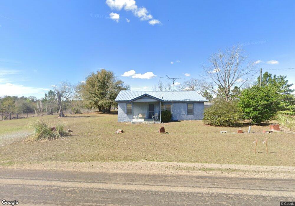
This home is located at 3386 Telfair Line Rd, Rhine, GA 31077 and is currently estimated at $117,000, approximately $141 per square foot. 3386 Telfair Line Rd is a home with nearby schools including Dodge County High School.
Ownership History
Date
Name
Owned For
Owner Type
Purchase Details
Closed on
Jan 26, 2024
Sold by
Wilcox James
Bought by
Farmer Michael Kent and Loucks Misty K
Current Estimated Value
Home Financials for this Owner
Home Financials are based on the most recent Mortgage that was taken out on this home.
Original Mortgage
$78,036
Outstanding Balance
$17,117
Interest Rate
6.61%
Mortgage Type
New Conventional
Estimated Equity
$99,883
Purchase Details
Closed on
Mar 18, 2012
Sold by
Mcduffie Irene
Bought by
Wilcox James
Purchase Details
Closed on
Mar 19, 2008
Sold by
Benton John William
Bought by
S A Rogers Land Trust
Create a Home Valuation Report for This Property
The Home Valuation Report is an in-depth analysis detailing your home's value as well as a comparison with similar homes in the area
Home Values in the Area
Average Home Value in this Area
Purchase History
| Date | Buyer | Sale Price | Title Company |
|---|---|---|---|
| Farmer Michael Kent | $100,000 | -- | |
| Wilcox James | -- | -- | |
| S A Rogers Land Trust | -- | -- | |
| S A Rogers Land Trust | -- | -- | |
| S A Rogers Land Trust | -- | -- | |
| S A Rogers Land Trust | $3,000 | -- |
Source: Public Records
Mortgage History
| Date | Status | Borrower | Loan Amount |
|---|---|---|---|
| Open | Farmer Michael Kent | $78,036 |
Source: Public Records
Tax History Compared to Growth
Tax History
| Year | Tax Paid | Tax Assessment Tax Assessment Total Assessment is a certain percentage of the fair market value that is determined by local assessors to be the total taxable value of land and additions on the property. | Land | Improvement |
|---|---|---|---|---|
| 2024 | $594 | $22,839 | $22,839 | $0 |
| 2023 | $1,153 | $44,648 | $36,848 | $7,800 |
| 2022 | $1,068 | $41,485 | $33,884 | $7,601 |
| 2021 | $1,103 | $42,718 | $33,884 | $8,834 |
| 2020 | $862 | $32,875 | $24,041 | $8,834 |
| 2019 | $843 | $31,760 | $24,041 | $7,719 |
| 2018 | $844 | $33,008 | $24,041 | $8,967 |
| 2017 | $844 | $33,008 | $24,041 | $8,967 |
| 2016 | $844 | $33,008 | $24,041 | $8,967 |
| 2015 | -- | $33,008 | $24,041 | $8,967 |
| 2014 | -- | $400 | $0 | $400 |
| 2013 | -- | $0 | $0 | $0 |
Source: Public Records
Map
Nearby Homes
- 275 Marchants Dairy Rd
- 0 Wilcox Ln Unit 10606878
- 101 East St
- 108 Champagne Dr
- 45 Mount Zion St
- 0 U S Highway 280
- 1533 W River Rd
- 11 Kendall St
- 131 Cook St
- 399 Lee St
- 31 Pickerton St
- 1758 U S 280
- Lot 38 Crestview Rd
- 78 Stathams Ln
- 88 Adkinson Ln
- 0 Roddy Burnham Rd Unit 10592941
- 651 Yancey Rd
- Adams Springs Rd
- 152 Riverfront St
- 1489 W Highway 280
- 0 County Line Rd
- 3565 Telfair Line Rd
- 1414 Pleasant Grove Church Rd
- 1484 Pleasant Grove Church Rd
- 1522 Pleasant Grove Church Rd
- 1129 Pleasant Grove Church Rd
- 1266 Pleasant Grove Church Rd
- 3100 Telfair Line Rd
- 1197 Pleasant Grove Church Rd
- 1977 Oak Grove Church Rd
- 3770 Telfair Line Rd
- 3832 Telfair Line Rd
- 554 Studstill Rd
- 1525 Telfair County Line Rd
- 1537 Telfair County Line Rd
- 1543 Telfair County Line Rd