Estimated Value: $125,000 - $306,391
2
Beds
--
Bath
526
Sq Ft
$423/Sq Ft
Est. Value
About This Home
This home is located at 33889 State Highway Yy, Macon, MO 63552 and is currently estimated at $222,464, approximately $422 per square foot. 33889 State Highway Yy is a home with nearby schools including Macon Elementary School, Family Literacy Center, and Macon Middle School.
Ownership History
Date
Name
Owned For
Owner Type
Purchase Details
Closed on
Oct 22, 2020
Sold by
Cronin Patrick & Kathe Trust
Bought by
Shrock Moses E and Shrock Rosanna J
Current Estimated Value
Home Financials for this Owner
Home Financials are based on the most recent Mortgage that was taken out on this home.
Original Mortgage
$116,750
Outstanding Balance
$103,654
Interest Rate
2.8%
Mortgage Type
Construction
Estimated Equity
$118,810
Purchase Details
Closed on
Jun 23, 2016
Sold by
Roe Lorraine N
Bought by
Cronin Patrick D and Cronin Kathe
Create a Home Valuation Report for This Property
The Home Valuation Report is an in-depth analysis detailing your home's value as well as a comparison with similar homes in the area
Home Values in the Area
Average Home Value in this Area
Purchase History
| Date | Buyer | Sale Price | Title Company |
|---|---|---|---|
| Shrock Moses E | $145,937 | Macon Cnty Title Llc | |
| Cronin Patrick D | -- | -- |
Source: Public Records
Mortgage History
| Date | Status | Borrower | Loan Amount |
|---|---|---|---|
| Open | Shrock Moses E | $116,750 |
Source: Public Records
Tax History Compared to Growth
Tax History
| Year | Tax Paid | Tax Assessment Tax Assessment Total Assessment is a certain percentage of the fair market value that is determined by local assessors to be the total taxable value of land and additions on the property. | Land | Improvement |
|---|---|---|---|---|
| 2025 | $1,147 | $23,800 | $8,600 | $15,200 |
| 2024 | $1,147 | $22,230 | $0 | $0 |
| 2023 | $1,142 | $22,230 | $0 | $0 |
| 2022 | $1,110 | $22,230 | $0 | $0 |
| 2021 | $1,104 | $21,630 | $0 | $0 |
| 2020 | $1,084 | $21,630 | $0 | $0 |
| 2019 | $1,081 | $21,140 | $21,140 | $0 |
| 2018 | $1,036 | $21,140 | $21,140 | $0 |
| 2017 | $956 | $138,080 | $67,280 | $70,800 |
| 2016 | $941 | $21,160 | $0 | $0 |
| 2015 | -- | $20,500 | $0 | $0 |
| 2014 | -- | $13,200 | $0 | $0 |
| 2012 | -- | $12,890 | $0 | $0 |
Source: Public Records
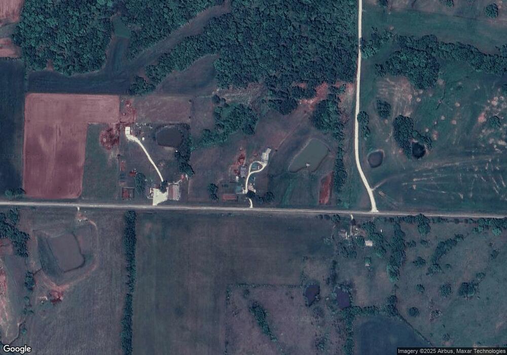
Map
Nearby Homes
- 0 State Highway Pp
- 31822 Lochs Place
- 34903 Nature Ave
- Tbd Nature Ave
- 34648 U S 63
- 0 Nature Ave
- 1604 Sherwood Dr
- 1008 Walnut St
- 35581 Hwy Y
- 803 Coates St
- 102 W 2nd St
- 1419 Rosewood Terrace
- 804 Maple Ln
- 35581 State Hwy Y
- 302 Jackson St
- 108 Vine St
- 310 S Allen St
- 0 Cher Ct
- 902 Lawndale Dr
- 117 N Rollins St
- 33775 State Highway Yy
- 33860 Lowland Rd
- 33592 Lowland Rd
- 33861 Lowland Rd
- 33980 State Highway Yy
- 33803 Lowland Rd
- 33558 State Highway Yy
- 33585 Lowland Rd
- 34193 State Highway Yy
- 34313 Minnow Place
- 33021 State Highway Yy
- 33797 Lowland Rd
- 33022 Lowland Rd
- 34062 Lion Ave
- 0 State Highway Yy
- 000 State Highway Yy
- 32953 State Highway Yy
- 32941 State Highway Yy
- 0000 Minnow Place
- 32937 State Highway Yy