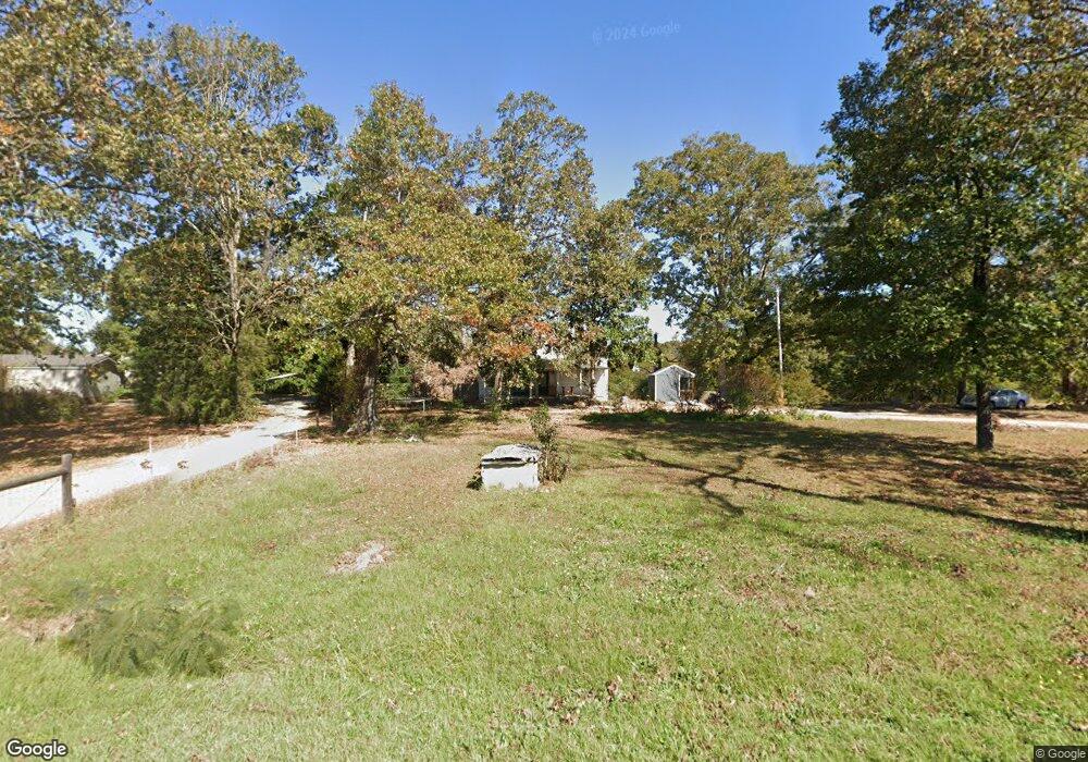
3389 Stone Station Rd Spartanburg, SC 29306
Estimated Value: $195,000 - $251,000
4
Beds
2
Baths
2,100
Sq Ft
$104/Sq Ft
Est. Value
About This Home
This home is located at 3389 Stone Station Rd, Spartanburg, SC 29306 and is currently estimated at $219,341, approximately $104 per square foot. 3389 Stone Station Rd is a home located in Spartanburg County with nearby schools including Dorman High School Freshman Campus and Dorman High School.
Ownership History
Date
Name
Owned For
Owner Type
Purchase Details
Closed on
Aug 17, 2007
Sold by
Rainey Shirley V and Rhodes Emily V
Bought by
Popoff Andrew
Current Estimated Value
Home Financials for this Owner
Home Financials are based on the most recent Mortgage that was taken out on this home.
Original Mortgage
$59,375
Outstanding Balance
$37,670
Interest Rate
6.7%
Mortgage Type
Unknown
Estimated Equity
$181,671
Purchase Details
Closed on
May 11, 2007
Sold by
Cooper Enterprises Llc
Bought by
Noviello Properties Llc
Create a Home Valuation Report for This Property
The Home Valuation Report is an in-depth analysis detailing your home's value as well as a comparison with similar homes in the area
Home Values in the Area
Average Home Value in this Area
Purchase History
| Date | Buyer | Sale Price | Title Company |
|---|---|---|---|
| Popoff Andrew | $62,500 | Attorney | |
| Noviello Properties Llc | $46,766 | Attorney |
Source: Public Records
Mortgage History
| Date | Status | Borrower | Loan Amount |
|---|---|---|---|
| Open | Popoff Andrew | $59,375 | |
| Closed | Noviello Properties Llc | -- |
Source: Public Records
Tax History Compared to Growth
Tax History
| Year | Tax Paid | Tax Assessment Tax Assessment Total Assessment is a certain percentage of the fair market value that is determined by local assessors to be the total taxable value of land and additions on the property. | Land | Improvement |
|---|---|---|---|---|
| 2025 | $697 | $3,445 | $740 | $2,705 |
| 2024 | $697 | $3,445 | $740 | $2,705 |
| 2023 | $697 | $3,445 | $740 | $2,705 |
| 2022 | $626 | $2,996 | $592 | $2,404 |
| 2021 | $619 | $2,996 | $592 | $2,404 |
| 2020 | $601 | $2,996 | $592 | $2,404 |
| 2019 | $586 | $2,996 | $592 | $2,404 |
| 2018 | $588 | $2,996 | $592 | $2,404 |
| 2017 | $523 | $2,748 | $520 | $2,228 |
| 2016 | $522 | $2,748 | $520 | $2,228 |
| 2015 | $521 | $2,748 | $520 | $2,228 |
| 2014 | $492 | $2,748 | $520 | $2,228 |
Source: Public Records
Map
Nearby Homes
- 0 Stone Station Rd
- 310 Templeton Dr
- 95 Stone Station Farm
- 95 State Road S-42-9964
- 120 State Road S-42-9962
- 379 Lawtonwood Ln
- 0 Independence Ct
- 409 Balfour Rd
- 365 Guernsey Ln
- 100 Caroline Dr
- 583 Chattooga Rd
- 375 N Timm Creek Ave
- 161 Caroline Dr
- 1024 Longstone Way
- 5428 Marblewood Rd
- 110 Matilda St
- 7244 Red Cedar Trail
- 707 Tallulah Ct
- 408 Congaree Rd
- 811 S Edisto River Dr
- 3387 Stone Station Rd
- 3381 Stone Station Rd
- 3405 Stone Station Rd
- 3384 Stone Station Rd
- 3396 Stone Station Rd
- 3621 Stone Station Rd
- 3375 Stone Station Rd
- 3376 Stone Station Rd
- 3414 Stone Station Rd
- 3367 Stone Station Rd
- 3326 Stone Station Rd
- 3418 Stone Station Rd
- 3355 Stone Station Rd
- 3422 Stone Station Rd
- 3426 Stone Station Rd
- 116 Captain Tom Ct
- 3434 Stone Station Rd
- 120 Captain Tom Ct
- 3438 Stone Station Rd
- 112 Captain Tom Ct