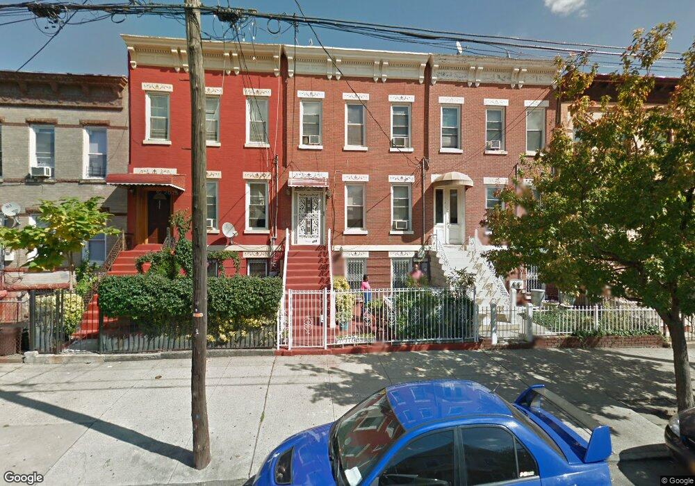
339 Bradford St Unit 1 Brooklyn, NY 11207
East New York NeighborhoodEstimated Value: $813,556 - $1,066,000
1
Bed
1
Bath
800
Sq Ft
$1,218/Sq Ft
Est. Value
About This Home
This home is located at 339 Bradford St Unit 1, Brooklyn, NY 11207 and is currently estimated at $974,139, approximately $1,217 per square foot. 339 Bradford St Unit 1 is a home located in Kings County with nearby schools including P.S. 149 Danny Kaye, J.H.S 292 Margaret S. Douglas, and Hyde Leadership Charter School-Brooklyn.
Ownership History
Date
Name
Owned For
Owner Type
Purchase Details
Closed on
Nov 30, 2018
Sold by
Harry Krishna and Harry Pearlena
Bought by
339 Bradford Street Llc
Current Estimated Value
Home Financials for this Owner
Home Financials are based on the most recent Mortgage that was taken out on this home.
Original Mortgage
$520,000
Outstanding Balance
$459,045
Interest Rate
4.9%
Mortgage Type
Purchase Money Mortgage
Estimated Equity
$515,094
Create a Home Valuation Report for This Property
The Home Valuation Report is an in-depth analysis detailing your home's value as well as a comparison with similar homes in the area
Home Values in the Area
Average Home Value in this Area
Purchase History
| Date | Buyer | Sale Price | Title Company |
|---|---|---|---|
| 339 Bradford Street Llc | $650,000 | -- |
Source: Public Records
Mortgage History
| Date | Status | Borrower | Loan Amount |
|---|---|---|---|
| Open | 339 Bradford Street Llc | $520,000 |
Source: Public Records
Tax History Compared to Growth
Tax History
| Year | Tax Paid | Tax Assessment Tax Assessment Total Assessment is a certain percentage of the fair market value that is determined by local assessors to be the total taxable value of land and additions on the property. | Land | Improvement |
|---|---|---|---|---|
| 2025 | $2,770 | $70,260 | $18,420 | $51,840 |
| 2024 | $2,770 | $58,980 | $18,420 | $40,560 |
| 2023 | $2,648 | $59,280 | $18,420 | $40,860 |
| 2022 | $2,460 | $50,580 | $18,420 | $32,160 |
| 2021 | $2,450 | $42,540 | $18,420 | $24,120 |
| 2020 | $1,838 | $42,660 | $18,420 | $24,240 |
| 2019 | $2,404 | $42,660 | $18,420 | $24,240 |
| 2018 | $2,215 | $10,866 | $6,794 | $4,072 |
| 2017 | $2,093 | $10,268 | $5,176 | $5,092 |
| 2016 | $1,940 | $9,703 | $4,924 | $4,779 |
| 2015 | $1,168 | $9,703 | $5,508 | $4,195 |
| 2014 | $1,168 | $9,578 | $4,984 | $4,594 |
Source: Public Records
Map
Nearby Homes
- 358 van Siclen Ave
- 414 Miller Ave
- 346 van Siclen Ave
- 443 Miller Ave
- 440 Miller Ave
- 402 van Siclen Ave
- 412 Hendrix St
- 459 Miller Ave
- 459 Belmont Ave
- 2210 Pitkin Ave
- 419 van Siclen Ave
- 563 Belmont Ave
- 342 Wyona St
- 412 Bradford St
- 279 van Siclen Ave
- 774 Blake Ave
- 439 Vermont St
- 667 Sutter Ave
- 243 Wyona St
- 396 Barbey St
- 339 Bradford St
- 337 Bradford St
- 337 Bradford St Unit 1
- 337 Bradford St Unit 2
- 341 Bradford St Unit 3
- 341 Bradford St
- 335 Bradford St Unit 2
- 335 Bradford St
- 343 Bradford St
- 343 Bradford St Unit 1
- 333 Bradford St
- 345 Bradford St
- 331 Bradford St
- 331 Bradford St Unit Floor 1
- 331 Bradford St
- 347 Bradford St
- 329 Bradford St
- 349 Bradford St
- 327 Bradford St
- 406 Miller Ave