339 Burns Rd Kennerdell, PA 16374
Estimated Value: $118,725 - $200,000
3
Beds
2
Baths
1,280
Sq Ft
$135/Sq Ft
Est. Value
About This Home
This home is located at 339 Burns Rd, Kennerdell, PA 16374 and is currently estimated at $173,181, approximately $135 per square foot. 339 Burns Rd is a home located in Venango County with nearby schools including Franklin Area High School.
Create a Home Valuation Report for This Property
The Home Valuation Report is an in-depth analysis detailing your home's value as well as a comparison with similar homes in the area
Home Values in the Area
Average Home Value in this Area
Tax History Compared to Growth
Tax History
| Year | Tax Paid | Tax Assessment Tax Assessment Total Assessment is a certain percentage of the fair market value that is determined by local assessors to be the total taxable value of land and additions on the property. | Land | Improvement |
|---|---|---|---|---|
| 2025 | $1,229 | $47,920 | $13,690 | $34,230 |
| 2024 | $1,157 | $47,920 | $13,690 | $34,230 |
| 2023 | $1,157 | $47,920 | $13,690 | $34,230 |
| 2022 | $1,157 | $47,920 | $13,690 | $34,230 |
| 2021 | $1,157 | $47,920 | $13,690 | $34,230 |
| 2020 | $1,157 | $47,920 | $13,690 | $34,230 |
| 2019 | $1,157 | $47,920 | $13,690 | $34,230 |
| 2018 | $1,157 | $47,920 | $13,690 | $34,230 |
| 2017 | -- | $47,920 | $13,690 | $34,230 |
| 2016 | $1,128 | $47,920 | $13,690 | $34,230 |
| 2015 | -- | $47,920 | $13,690 | $34,230 |
| 2014 | -- | $47,920 | $13,690 | $34,230 |
Source: Public Records
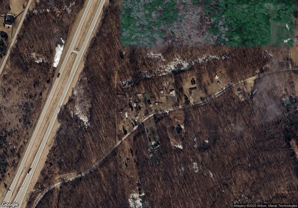
Map
Nearby Homes
- 0 Old Route 8
- 1088 Burns Rd
- 6289 State Route 308
- 00 Georgetown Rd
- 125 Hardinger Blvd
- 105 Jacobs Rd
- 523 Farren Surrena Rd
- 399 County Line Rd
- 00 Collingwood Rd
- 1316 Porter Rd
- 190 Sara Ln
- 00 Collingwood Rd Lot Unit WP001
- 262 Windy Point Rd
- 3802 Pennsylvania 208
- 3802 State Route 208
- 1751 Kennerdell Rd
- 74 Daugherty Rd
- Lot Camp Ground Rd
- Lot #1 Barkeyville Rd
- 185 Mason St