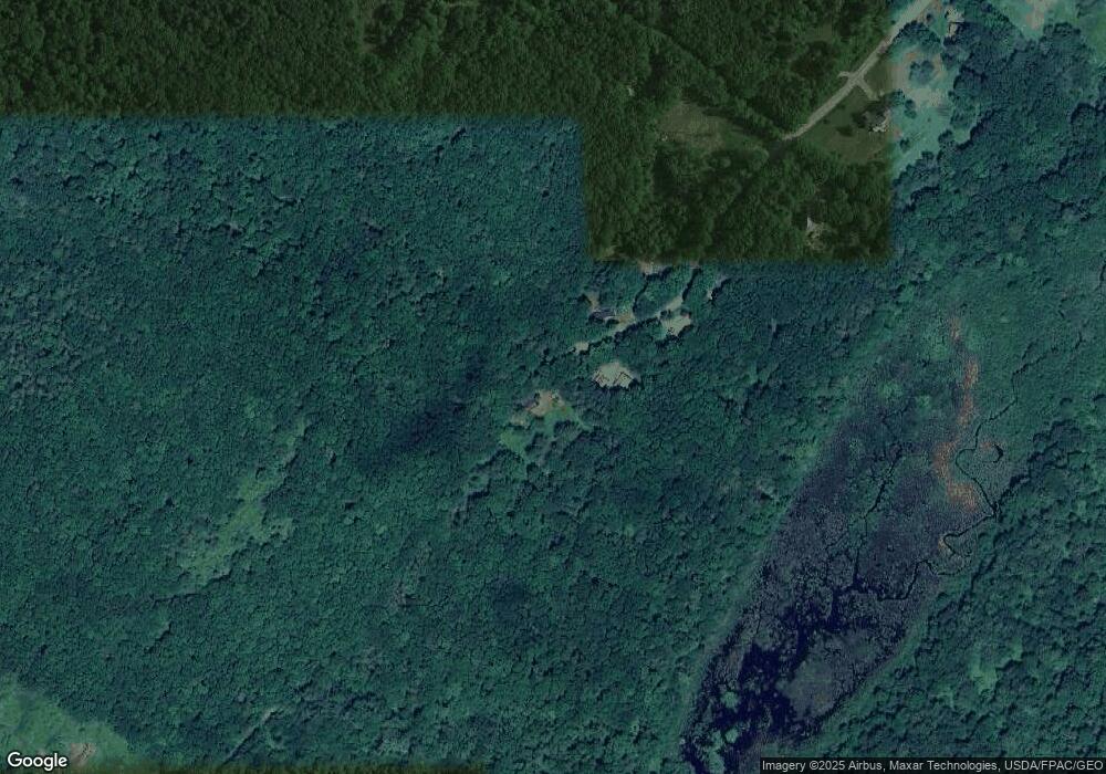
339 Dunbar Rd Thomaston, ME 04861
Estimated Value: $143,266 - $335,000
--
Bed
--
Bath
750
Sq Ft
$310/Sq Ft
Est. Value
About This Home
This home is located at 339 Dunbar Rd, Thomaston, ME 04861 and is currently estimated at $232,567, approximately $310 per square foot. 339 Dunbar Rd is a home located in Knox County with nearby schools including South School and Oceanside High School East.
Create a Home Valuation Report for This Property
The Home Valuation Report is an in-depth analysis detailing your home's value as well as a comparison with similar homes in the area
Home Values in the Area
Average Home Value in this Area
Tax History Compared to Growth
Tax History
| Year | Tax Paid | Tax Assessment Tax Assessment Total Assessment is a certain percentage of the fair market value that is determined by local assessors to be the total taxable value of land and additions on the property. | Land | Improvement |
|---|---|---|---|---|
| 2024 | $1,772 | $88,600 | $31,000 | $57,600 |
| 2023 | $1,674 | $88,594 | $31,018 | $57,576 |
| 2022 | $1,529 | $70,055 | $31,018 | $39,037 |
| 2021 | $1,508 | $70,055 | $31,018 | $39,037 |
| 2020 | $1,543 | $70,055 | $31,018 | $39,037 |
| 2019 | $1,564 | $70,055 | $31,018 | $39,037 |
| 2018 | $1,466 | $70,055 | $31,018 | $39,037 |
| 2017 | $1,417 | $73,055 | $34,018 | $39,037 |
| 2016 | $1,365 | $73,055 | $34,018 | $39,037 |
| 2015 | $1,317 | $73,055 | $34,018 | $39,037 |
| 2014 | $1,204 | $72,359 | $34,018 | $38,341 |
| 2013 | $1,211 | $72,359 | $34,018 | $38,341 |
Source: Public Records
Map
Nearby Homes
- 318 W Meadow Rd
- 17 Sherer Ln
- 0 Branch Brook Rd
- Lot 1 Old County Rd
- Lot 151 Dunbar Rd
- 333 Old County Rd
- 161 Bog Rd
- 240 Rankin St
- 326 Limerock St
- 219 Talbot Ave
- 233 Limerock St
- 65 Oliver St
- 147 Talbot Ave
- 332 Pleasant St
- 224 Limerock St
- 212 New County Rd
- 120 Rankin St
- 78 Old County Rd
- 47 Dodge Mountain Rd
- Lot 4 Ashland Dr
