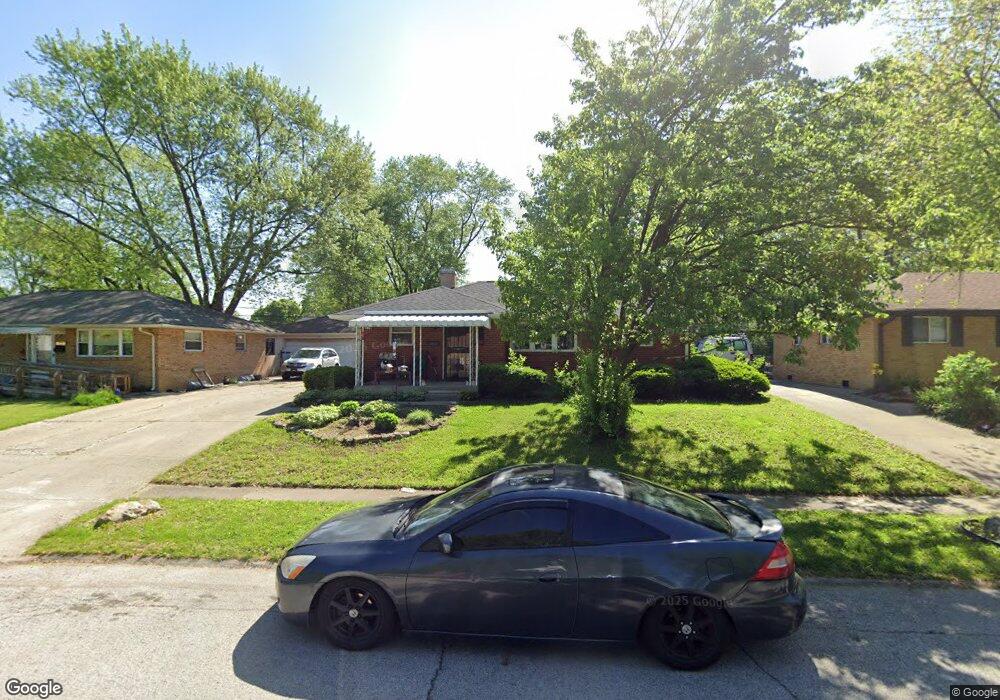
339 Gilbert St Beech Grove, IN 46107
Estimated Value: $172,000 - $190,642
3
Beds
--
Bath
1,001
Sq Ft
$181/Sq Ft
Est. Value
About This Home
This home is located at 339 Gilbert St, Beech Grove, IN 46107 and is currently estimated at $180,911, approximately $180 per square foot. 339 Gilbert St is a home located in Marion County with nearby schools including Hornet Park Elementary School, Central Elementary School, and South Grove Intermediate School.
Ownership History
Date
Name
Owned For
Owner Type
Purchase Details
Closed on
Nov 6, 2023
Sold by
Pennington Emily and Pennington Mary Ann
Bought by
Hamilton Kristyn G and Hamilton Kellie
Current Estimated Value
Home Financials for this Owner
Home Financials are based on the most recent Mortgage that was taken out on this home.
Original Mortgage
$144,993
Outstanding Balance
$142,521
Interest Rate
7.62%
Mortgage Type
FHA
Estimated Equity
$38,390
Purchase Details
Closed on
Nov 1, 2023
Sold by
Pennington Emily and Pennington Mary Ann
Bought by
Hamilton Kristyn G and Hamilton Kellie
Home Financials for this Owner
Home Financials are based on the most recent Mortgage that was taken out on this home.
Original Mortgage
$144,993
Outstanding Balance
$142,521
Interest Rate
7.62%
Mortgage Type
FHA
Estimated Equity
$38,390
Purchase Details
Closed on
Jul 19, 2010
Sold by
Pennington Mary Ann and Stahl Joanne E
Bought by
Pennington Emily and Pennington Mary Ann
Purchase Details
Closed on
Dec 28, 2004
Sold by
Stahl Louise T and Stahl Bernard C
Bought by
Pennington Mary Ann and Stahl Joanne E
Create a Home Valuation Report for This Property
The Home Valuation Report is an in-depth analysis detailing your home's value as well as a comparison with similar homes in the area
Home Values in the Area
Average Home Value in this Area
Purchase History
| Date | Buyer | Sale Price | Title Company |
|---|---|---|---|
| Hamilton Kristyn G | $150,000 | Ata National Title Group | |
| Hamilton Kristyn G | -- | Ata National Title Group | |
| Pennington Emily | -- | None Available | |
| Pennington Mary Ann | -- | None Available |
Source: Public Records
Mortgage History
| Date | Status | Borrower | Loan Amount |
|---|---|---|---|
| Open | Hamilton Kristyn G | $144,993 | |
| Closed | Hamilton Kristyn G | $144,993 |
Source: Public Records
Tax History Compared to Growth
Tax History
| Year | Tax Paid | Tax Assessment Tax Assessment Total Assessment is a certain percentage of the fair market value that is determined by local assessors to be the total taxable value of land and additions on the property. | Land | Improvement |
|---|---|---|---|---|
| 2024 | $2,201 | $180,000 | $18,000 | $162,000 |
| 2023 | $2,201 | $164,800 | $18,000 | $146,800 |
| 2022 | $2,117 | $151,900 | $18,000 | $133,900 |
| 2021 | $1,639 | $124,300 | $18,000 | $106,300 |
| 2020 | $1,477 | $118,800 | $18,000 | $100,800 |
| 2019 | $1,190 | $100,600 | $13,500 | $87,100 |
| 2018 | $1,122 | $97,800 | $13,500 | $84,300 |
| 2017 | $1,022 | $88,100 | $13,500 | $74,600 |
| 2016 | $950 | $83,200 | $13,500 | $69,700 |
| 2014 | $923 | $83,800 | $13,500 | $70,300 |
| 2013 | $1,000 | $82,400 | $13,500 | $68,900 |
Source: Public Records
Map
Nearby Homes
- 325 Gilbert Ave
- 325 Gilbert St
- 357 Gilbert St
- 357 Gilbert Ave
- 311 Gilbert Ave
- 311 Gilbert St
- 375 Gilbert St
- 330 Gilbert St
- 302 Gilbert Ave
- 356 Gilbert St
- 302 Gilbert St
- 297 Gilbert St
- 411 Gilbert St
- 1891 Newcomer Ln
- 435 Gilbert Ave
- 279 Gilbert St
- 1894 Mann Dr
- 279 Gilbert Ave
- 435 Gilbert St
- 420 Gilbert St