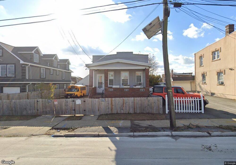
339 Grove St Perth Amboy, NJ 08861
Amboy Avenue NeighborhoodEstimated Value: $306,000
2
Beds
1
Bath
1,004
Sq Ft
$305/Sq Ft
Est. Value
About This Home
This home is located at 339 Grove St, Perth Amboy, NJ 08861 and is currently estimated at $306,000, approximately $304 per square foot. 339 Grove St is a home located in Middlesex County with nearby schools including Perth Amboy High School, Academy for Urban Leadership Charter School, and Assumption Catholic School.
Ownership History
Date
Name
Owned For
Owner Type
Purchase Details
Closed on
Jan 8, 2016
Sold by
Yuhasz Margaret
Current Estimated Value
Home Financials for this Owner
Home Financials are based on the most recent Mortgage that was taken out on this home.
Original Mortgage
$143,281
Interest Rate
4.5%
Mortgage Type
FHA
Create a Home Valuation Report for This Property
The Home Valuation Report is an in-depth analysis detailing your home's value as well as a comparison with similar homes in the area
Home Values in the Area
Average Home Value in this Area
Purchase History
| Date | Buyer | Sale Price | Title Company |
|---|---|---|---|
| -- | $133,000 | River Edge Title |
Source: Public Records
Mortgage History
| Date | Status | Borrower | Loan Amount |
|---|---|---|---|
| Previous Owner | -- | $143,281 |
Source: Public Records
Tax History Compared to Growth
Tax History
| Year | Tax Paid | Tax Assessment Tax Assessment Total Assessment is a certain percentage of the fair market value that is determined by local assessors to be the total taxable value of land and additions on the property. | Land | Improvement |
|---|---|---|---|---|
| 2025 | $4,921 | $163,100 | $74,700 | $88,400 |
| 2024 | $4,911 | $163,100 | $74,700 | $88,400 |
| 2023 | $4,911 | $163,100 | $74,700 | $88,400 |
| 2022 | $4,852 | $163,100 | $74,700 | $88,400 |
| 2021 | $4,859 | $163,100 | $74,700 | $88,400 |
| 2020 | $4,857 | $163,100 | $74,700 | $88,400 |
| 2019 | $4,875 | $163,100 | $74,700 | $88,400 |
| 2018 | $4,833 | $163,100 | $74,700 | $88,400 |
| 2017 | $4,823 | $163,100 | $74,700 | $88,400 |
| 2016 | $4,697 | $163,100 | $74,700 | $88,400 |
| 2015 | $4,480 | $163,100 | $74,700 | $88,400 |
| 2014 | $4,509 | $163,100 | $74,700 | $88,400 |
Source: Public Records
Map
Nearby Homes
- 354 Alpine St
- 360 Alpine St
- 381 Keene St
- 747 Catherine St
- 676 Johnstone St
- 434 Lawrence St Unit 19
- 646 Johnstone St
- 270 Hall Ave
- 435 Ashley St
- 655 Charles St
- 212 Hall Ave
- 649 Cornell St
- 752 Donald Ave
- 689 Mary St
- 744 Donald Ave
- 720 Donald Ave
- 537 Harding Ave
- 514 S Park Dr
- 522 Johnstone St
- 459 Brace Ave
- 333 Grove St
- 345 Grove St Unit 2
- 340 Keene St
- 338 Keene St
- 336 Keene St
- 332 Keene St
- 334 Keene St Unit 1
- 334 Keene St
- 344 Keene St
- 327 Grove St
- 328 Keene St
- 352 Keene St Unit 2
- 352 Keene St Unit 1
- 352 Keene St
- 353 Grove St Unit 355
- 359 Grove St
- 326 Keene St
- 324 Keene St
- 354 Keene St
- 357 Grove St Unit 2nd floor