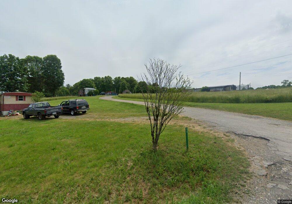
339 Hayfield Rd Blairsville, GA 30512
Estimated Value: $165,000 - $1,430,456
2
Beds
1
Bath
624
Sq Ft
$951/Sq Ft
Est. Value
About This Home
This home is located at 339 Hayfield Rd, Blairsville, GA 30512 and is currently estimated at $593,152, approximately $950 per square foot. 339 Hayfield Rd is a home located in Union County with nearby schools including Union County Primary School, Union County Elementary School, and Union County Middle School.
Ownership History
Date
Name
Owned For
Owner Type
Purchase Details
Closed on
Mar 3, 2006
Sold by
Mcclure Bobby W
Bought by
Mcclure Robert and Mcclure Ruth
Current Estimated Value
Purchase Details
Closed on
Jan 3, 2005
Sold by
Mcclure Bobby W
Bought by
Mcclure Robert and Mcclure Ruth
Purchase Details
Closed on
Dec 31, 2004
Sold by
Mcclure Bobby W
Bought by
Mcclure Robert and Mcclure Ruth
Create a Home Valuation Report for This Property
The Home Valuation Report is an in-depth analysis detailing your home's value as well as a comparison with similar homes in the area
Home Values in the Area
Average Home Value in this Area
Purchase History
| Date | Buyer | Sale Price | Title Company |
|---|---|---|---|
| Mcclure Robert | -- | -- | |
| Mcclure Robert | -- | -- | |
| Mcclure Robert | -- | -- |
Source: Public Records
Tax History Compared to Growth
Tax History
| Year | Tax Paid | Tax Assessment Tax Assessment Total Assessment is a certain percentage of the fair market value that is determined by local assessors to be the total taxable value of land and additions on the property. | Land | Improvement |
|---|---|---|---|---|
| 2024 | $5,599 | $474,096 | $203,320 | $270,776 |
| 2023 | $6,234 | $468,248 | $203,320 | $264,928 |
| 2022 | $5,641 | $423,720 | $203,320 | $220,400 |
| 2021 | $6,122 | $388,480 | $203,320 | $185,160 |
| 2020 | $3,956 | $209,112 | $108,744 | $100,368 |
| 2019 | $3,740 | $209,112 | $108,744 | $100,368 |
| 2018 | $3,673 | $209,112 | $108,744 | $100,368 |
| 2017 | $3,673 | $209,112 | $108,744 | $100,368 |
| 2016 | $3,675 | $2,758 | $0 | $2,758 |
| 2015 | $3,707 | $209,112 | $108,744 | $100,368 |
| 2013 | -- | $0 | $0 | $0 |
Source: Public Records
Map
Nearby Homes
- 19 My Own Rd
- 6AC Pleasant Grove Rd
- 135 Floyds Way
- Lot 33 Burnette Rd N
- LT 39 Burnette Rd N
- LOT 40 Burnette Rd N
- Lt39 Burnette Rd N
- Lt 40 Burnette Rd N
- Lot 15 Burnette Rd N
- 0 Nathaniels Way Unit 10438142
- L 13/14 Anns Way
- 141 Nathaniels Way
- Lot 42 Coras Way Unit 42
- Lot 42 Coras Way
- 329 Ed King Rd
- 2092 Pleasant Grove Rd
- Lot 83 Ridge Peak View
- LOT 70 Ridge Peak View
- Lot 59 Ridge Peak View
- 77 Chestatee Dr
- 172 White Oak Ln
- 145 Chestnut Oak Ln
- 148 White Oak Ln
- 144 Chestnut Oak Ln
- 123 Chestnut Oak Ln
- 159 White Oak Ln
- 192 Red Oak Ln
- 116 Chestnut Oak Ln
- 105 Chestnut Oak Ln
- 169 Pin Oak Ln
- 114 White Oak Ln
- 137 White Oak Ln
- 168 Red Oak Ln
- 96 Chestnut Oak Ln
- 96 Chestnut Oak Ln
- 127 Pin Oak Ln
- 197 Red Oak Ln
- 98 White Oak Ln
- 1463 Pin Oak Ln
- 183 Red Oak Ln