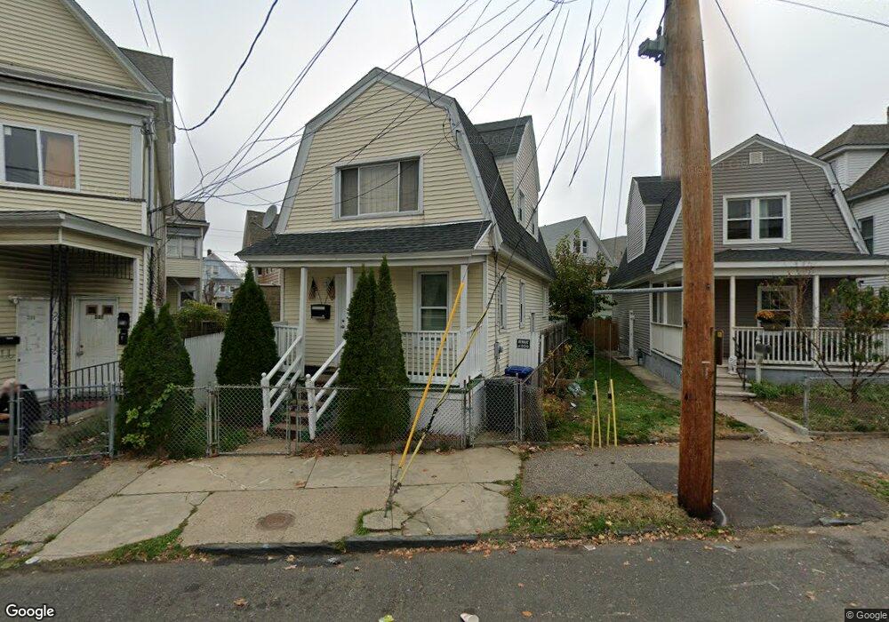
339 Huntington Rd Bridgeport, CT 06608
East Side Bridgeport NeighborhoodEstimated Value: $251,000 - $263,000
3
Beds
1
Bath
1,071
Sq Ft
$241/Sq Ft
Est. Value
About This Home
This home is located at 339 Huntington Rd, Bridgeport, CT 06608 and is currently estimated at $257,953, approximately $240 per square foot. 339 Huntington Rd is a home located in Fairfield County with nearby schools including Beardsley School, Harding High School, and Achievement First Bridgeport Academy Elementary School.
Ownership History
Date
Name
Owned For
Owner Type
Purchase Details
Closed on
Dec 3, 2007
Sold by
Us Bank Na
Bought by
Vohra Munir
Current Estimated Value
Purchase Details
Closed on
Aug 30, 2002
Sold by
Chase Manhattan Bk
Bought by
Sylvester Caroline
Home Financials for this Owner
Home Financials are based on the most recent Mortgage that was taken out on this home.
Original Mortgage
$44,200
Interest Rate
10.99%
Create a Home Valuation Report for This Property
The Home Valuation Report is an in-depth analysis detailing your home's value as well as a comparison with similar homes in the area
Home Values in the Area
Average Home Value in this Area
Purchase History
| Date | Buyer | Sale Price | Title Company |
|---|---|---|---|
| Vohra Munir | $100,000 | -- | |
| Vohra Munir | $100,000 | -- | |
| Sylvester Caroline | $52,000 | -- | |
| Sylvester Caroline | $52,000 | -- |
Source: Public Records
Mortgage History
| Date | Status | Borrower | Loan Amount |
|---|---|---|---|
| Open | Sylvester Caroline | $50,000 | |
| Previous Owner | Sylvester Caroline | $44,200 |
Source: Public Records
Tax History Compared to Growth
Tax History
| Year | Tax Paid | Tax Assessment Tax Assessment Total Assessment is a certain percentage of the fair market value that is determined by local assessors to be the total taxable value of land and additions on the property. | Land | Improvement |
|---|---|---|---|---|
| 2025 | $3,880 | $89,301 | $28,201 | $61,100 |
| 2024 | $3,880 | $89,301 | $28,201 | $61,100 |
| 2023 | $3,880 | $89,301 | $28,201 | $61,100 |
| 2022 | $3,880 | $89,301 | $28,201 | $61,100 |
| 2021 | $3,880 | $89,301 | $28,201 | $61,100 |
| 2020 | $3,813 | $70,620 | $13,360 | $57,260 |
| 2019 | $3,813 | $70,620 | $13,360 | $57,260 |
| 2018 | $3,840 | $70,620 | $13,360 | $57,260 |
| 2017 | $3,840 | $70,620 | $13,360 | $57,260 |
| 2016 | $3,840 | $70,620 | $13,360 | $57,260 |
| 2015 | $4,108 | $97,350 | $27,800 | $69,550 |
| 2014 | $4,108 | $97,350 | $27,800 | $69,550 |
Source: Public Records
Map
Nearby Homes
- 957 William St Unit A
- 1014 Noble Ave
- 1218 Kossuth St
- 44 Locust St Unit 46
- 50 Goddard Ave
- 142 Palm St
- 502 Berkshire Ave
- 199 Bradley St Unit 203
- 438 Park St
- 152 River St
- 105 Asylum St
- 291 Stillman St
- 178 Island Brook Ave
- 110 Asylum St
- 2031 E Main St
- 604 William St
- 202 Goddard Ave
- 369 Park St
- 148 Orchard St
- 274 Park St
- 355 Huntington Rd
- 1176 Noble Ave Unit 1178
- 1170 Noble Ave
- 367 Huntington Rd Unit 369
- 1184 Noble Ave Unit 1186
- 346 Huntington Rd
- 347 Huntington Rd Unit 349
- 1154 Noble Ave Unit 1156
- 1190 Noble Ave Unit 1192
- 1144 Noble Ave
- 735 Park St
- 377 Huntington Rd Unit 3rd.
- 377 Huntington Rd Unit 2
- 377 Huntington Rd Unit 1
- 377 Huntington Rd
- 370 Huntington Rd
- 1204 Noble Ave Unit 1210
- 302 Huntington Rd Unit 304
- 383 Huntington Rd Unit 385
- 752 Park St Unit 754