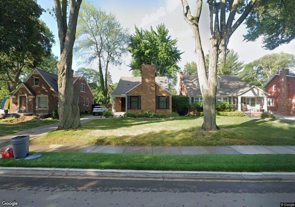
339 Kerby Rd Grosse Pointe Farms, MI 48236
Estimated Value: $340,000 - $411,000
--
Bed
--
Bath
1,462
Sq Ft
$246/Sq Ft
Est. Value
About This Home
This home is located at 339 Kerby Rd, Grosse Pointe Farms, MI 48236 and is currently estimated at $359,628, approximately $245 per square foot. 339 Kerby Rd is a home located in Wayne County with nearby schools including Kerby Elementary School, Brownell Middle School, and Grosse Pointe South High School.
Ownership History
Date
Name
Owned For
Owner Type
Purchase Details
Closed on
Dec 22, 2006
Sold by
Solar Anthony B
Bought by
Reeber Christopher D
Current Estimated Value
Purchase Details
Closed on
Sep 19, 2005
Sold by
Solar Anthony B
Bought by
Reeber Christopher
Home Financials for this Owner
Home Financials are based on the most recent Mortgage that was taken out on this home.
Original Mortgage
$167,927
Interest Rate
5.5%
Mortgage Type
Seller Take Back
Create a Home Valuation Report for This Property
The Home Valuation Report is an in-depth analysis detailing your home's value as well as a comparison with similar homes in the area
Home Values in the Area
Average Home Value in this Area
Purchase History
| Date | Buyer | Sale Price | Title Company |
|---|---|---|---|
| Reeber Christopher D | $188,000 | Land Owners Title Agency | |
| Reeber Christopher | $187,927 | Multiple |
Source: Public Records
Mortgage History
| Date | Status | Borrower | Loan Amount |
|---|---|---|---|
| Previous Owner | Reeber Christopher | $167,927 |
Source: Public Records
Tax History Compared to Growth
Tax History
| Year | Tax Paid | Tax Assessment Tax Assessment Total Assessment is a certain percentage of the fair market value that is determined by local assessors to be the total taxable value of land and additions on the property. | Land | Improvement |
|---|---|---|---|---|
| 2025 | $2,205 | $160,300 | $0 | $0 |
| 2024 | $2,205 | $145,800 | $0 | $0 |
| 2023 | $2,101 | $134,200 | $0 | $0 |
| 2022 | $3,924 | $121,400 | $0 | $0 |
| 2021 | $3,707 | $112,500 | $0 | $0 |
| 2019 | $3,645 | $100,400 | $0 | $0 |
| 2018 | $1,865 | $96,000 | $0 | $0 |
| 2017 | $3,236 | $93,600 | $0 | $0 |
| 2016 | $3,393 | $92,000 | $0 | $0 |
| 2015 | $6,720 | $74,100 | $0 | $0 |
| 2013 | $6,510 | $65,100 | $0 | $0 |
| 2012 | $2,293 | $65,100 | $25,100 | $40,000 |
Source: Public Records
Map
Nearby Homes
- 351 Moselle Place
- 265 Williams Ave
- 343 Beaupre Ave
- 432 Calvin Ave
- 471 Touraine Rd
- 441 Manor St
- 419 Maison Rd
- 415 Lothrop Rd
- 314 Mount Vernon Ave
- 302 Mount Vernon Ave
- 343 Mount Vernon Ave
- 273 Ridge Rd
- 317 Mount Vernon Ave
- 380 Merriweather Rd
- 257 Ridge Rd
- 5056 Lafontaine St
- 450 Roland Rd
- 5047 Anatole St
- 259 Mount Vernon Ave
- 189 Cloverly Rd