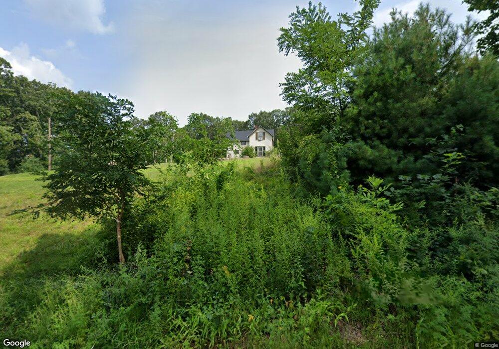
339 Maple St West Boylston, MA 01583
Estimated Value: $426,000 - $455,000
3
Beds
1
Bath
1,165
Sq Ft
$380/Sq Ft
Est. Value
About This Home
This home is located at 339 Maple St, West Boylston, MA 01583 and is currently estimated at $442,979, approximately $380 per square foot. 339 Maple St is a home located in Worcester County with nearby schools including Major Edwards Elementary School, West Boylston Junior/Senior High School, and Abby Kelley Foster Charter Public School.
Ownership History
Date
Name
Owned For
Owner Type
Purchase Details
Closed on
Nov 16, 2018
Sold by
Shaw Helen M and Shaw Bradford R
Bought by
Johnson Elijah R and Smith Brittany C
Current Estimated Value
Home Financials for this Owner
Home Financials are based on the most recent Mortgage that was taken out on this home.
Original Mortgage
$166,250
Outstanding Balance
$145,885
Interest Rate
4.7%
Mortgage Type
New Conventional
Estimated Equity
$297,094
Create a Home Valuation Report for This Property
The Home Valuation Report is an in-depth analysis detailing your home's value as well as a comparison with similar homes in the area
Home Values in the Area
Average Home Value in this Area
Purchase History
| Date | Buyer | Sale Price | Title Company |
|---|---|---|---|
| Johnson Elijah R | $175,000 | -- | |
| Roche Mark S | $110,000 | -- |
Source: Public Records
Mortgage History
| Date | Status | Borrower | Loan Amount |
|---|---|---|---|
| Open | Johnson Elijah R | $166,250 |
Source: Public Records
Tax History
| Year | Tax Paid | Tax Assessment Tax Assessment Total Assessment is a certain percentage of the fair market value that is determined by local assessors to be the total taxable value of land and additions on the property. | Land | Improvement |
|---|---|---|---|---|
| 2025 | $48 | $346,500 | $144,000 | $202,500 |
| 2024 | $4,731 | $320,100 | $146,200 | $173,900 |
| 2023 | $5,244 | $336,600 | $144,000 | $192,600 |
| 2022 | $4,950 | $280,000 | $144,000 | $136,000 |
| 2021 | $4,663 | $252,600 | $121,300 | $131,300 |
| 2020 | $4,394 | $236,500 | $121,300 | $115,200 |
| 2019 | $4,279 | $227,000 | $121,300 | $105,700 |
| 2018 | $4,322 | $230,900 | $132,800 | $98,100 |
| 2017 | $4,305 | $229,000 | $132,800 | $96,200 |
| 2016 | $4,151 | $225,000 | $125,400 | $99,600 |
| 2015 | $4,022 | $219,300 | $124,600 | $94,700 |
Source: Public Records
Map
Nearby Homes
- 740 Burncoat St Unit B
- 48 Whispering Pine Cir Unit 48
- 156 Hillside Village Dr
- 71 Hillside Village Dr
- 1 Highland Ave
- 69 Santoro Rd
- 1110 W Boylston St Unit A
- 10 Beale St
- 7 Alpine Dr
- 31 Danielles Way
- 22 Danielles Way
- 26 Danielles Way
- 30 Osgood Ave
- 53 Collins St
- 39 Mountainshire Dr
- 21 Wyoming Dr
- 13 Fatima Ln
- 30 Danielles Way
- 66 Eunice Ave
- 331 Burncoat St
Your Personal Tour Guide
Ask me questions while you tour the home.