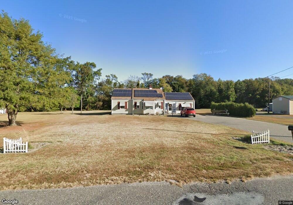
339 Methodist Rd Newport, NJ 08345
Estimated Value: $253,000 - $277,000
Studio
--
Bath
1,368
Sq Ft
$195/Sq Ft
Est. Value
About This Home
This home is located at 339 Methodist Rd, Newport, NJ 08345 and is currently estimated at $266,165, approximately $194 per square foot. 339 Methodist Rd is a home located in Cumberland County with nearby schools including Downe Township Elementary School.
Ownership History
Date
Name
Owned For
Owner Type
Purchase Details
Closed on
Apr 17, 2006
Sold by
Webber James A and Webber Betty J
Bought by
Shepprd Sandra M
Current Estimated Value
Purchase Details
Closed on
Sep 30, 2005
Sold by
Thompson Robert E
Bought by
Webber James A and Webber Betty J
Home Financials for this Owner
Home Financials are based on the most recent Mortgage that was taken out on this home.
Original Mortgage
$114,000
Interest Rate
5.81%
Create a Home Valuation Report for This Property
The Home Valuation Report is an in-depth analysis detailing your home's value as well as a comparison with similar homes in the area
Home Values in the Area
Average Home Value in this Area
Purchase History
| Date | Buyer | Sale Price | Title Company |
|---|---|---|---|
| Shepprd Sandra M | $143,000 | -- | |
| Webber James A | $120,000 | -- |
Source: Public Records
Mortgage History
| Date | Status | Borrower | Loan Amount |
|---|---|---|---|
| Previous Owner | Webber James A | $114,000 |
Source: Public Records
Tax History
| Year | Tax Paid | Tax Assessment Tax Assessment Total Assessment is a certain percentage of the fair market value that is determined by local assessors to be the total taxable value of land and additions on the property. | Land | Improvement |
|---|---|---|---|---|
| 2025 | $4,309 | $149,400 | $30,000 | $119,400 |
| 2024 | $4,309 | $149,400 | $30,000 | $119,400 |
| 2023 | $3,929 | $149,400 | $30,000 | $119,400 |
| 2022 | $3,831 | $149,400 | $30,000 | $119,400 |
| 2021 | $3,443 | $149,400 | $30,000 | $119,400 |
| 2020 | $3,593 | $149,400 | $30,000 | $119,400 |
| 2019 | $3,533 | $149,400 | $30,000 | $119,400 |
| 2018 | $3,580 | $149,400 | $30,000 | $119,400 |
| 2017 | $3,438 | $149,400 | $30,000 | $119,400 |
| 2016 | $3,435 | $149,400 | $30,000 | $119,400 |
| 2015 | $3,221 | $149,400 | $30,000 | $119,400 |
| 2014 | $2,984 | $149,400 | $30,000 | $119,400 |
Source: Public Records
Map
Nearby Homes
- 13 Hall St
- 305 Main St
- 281 Fortescue Rd
- 442 Shaws Mill Rd
- 0 Relm Ave Unit NJCB2022890
- 0 Keln Ave Unit NJCB2022904
- 393 Newport Neck Rd
- 478 Main St
- 390 Jones Island Rd
- 321 Jones Island Rd
- 395 Main St
- 377 Main St
- 73 Maple Ave
- 348 Main St
- 0 Lawn Ave Unit NJCB2022888
- 0 Lawn Ave Unit NJCB2022906
- 329 Main St
- 0 Forn Unit NJCB2022896
- 0 W Forn Unit NJCB2022892
- 0 Nark-Lawn Ave Unit NJCB2022900
- 341 Methodist Rd
- 333 Methodist Rd
- 329 Methodist Rd
- 345 Methodist Rd
- 336 Methodist Rd
- 334 Methodist Rd
- 327 Methodist Rd
- 352 Methodist Rd
- 326 Methodist Rd
- 324 Methodist Rd
- 354 Methodist Rd
- 325 Methodist Rd
- 326 Baptist Rd
- 338 Methodist Rd
- 330 Methodist Rd
- 556 Baptist Rd
- 320 Baptist Rd
- 314 Methodist Rd
- 5 Hall St
- 9 Hall St
Your Personal Tour Guide
Ask me questions while you tour the home.