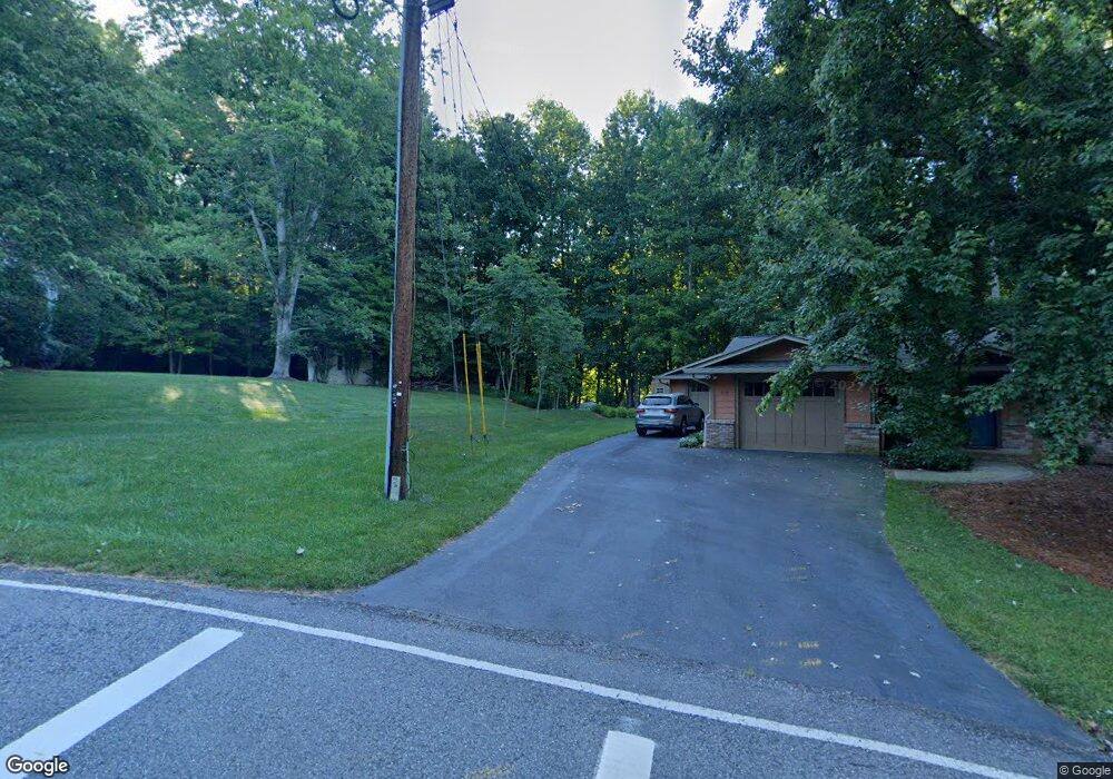
339 N Chestatee St Dahlonega, GA 30533
Estimated Value: $248,485 - $479,000
3
Beds
2
Baths
1,560
Sq Ft
$215/Sq Ft
Est. Value
About This Home
This home is located at 339 N Chestatee St, Dahlonega, GA 30533 and is currently estimated at $336,121, approximately $215 per square foot. 339 N Chestatee St is a home located in Lumpkin County with nearby schools including Clay County Middle School and Lumpkin County High School.
Ownership History
Date
Name
Owned For
Owner Type
Purchase Details
Closed on
Apr 17, 2017
Sold by
Mcgehee Eddie
Bought by
Gordineer Thomas C and Gordineer Dorothy J
Current Estimated Value
Purchase Details
Closed on
Aug 9, 1994
Sold by
Knowles Joe B
Bought by
Mcgehee Eddie
Purchase Details
Closed on
May 1, 1987
Sold by
Knowles Joe B
Bought by
Knowles Joe B
Purchase Details
Closed on
Jan 15, 1985
Sold by
Knowles Joe B
Bought by
Knowles Joe B
Purchase Details
Closed on
Apr 8, 1978
Bought by
Knowles Joe B
Purchase Details
Closed on
Mar 3, 1978
Bought by
Knowles Joe
Create a Home Valuation Report for This Property
The Home Valuation Report is an in-depth analysis detailing your home's value as well as a comparison with similar homes in the area
Home Values in the Area
Average Home Value in this Area
Purchase History
| Date | Buyer | Sale Price | Title Company |
|---|---|---|---|
| Gordineer Thomas C | $191,000 | -- | |
| Mcgehee Eddie | $84,000 | -- | |
| Knowles Joe B | -- | -- | |
| Knowles Joe B | -- | -- | |
| Knowles Joe B | -- | -- | |
| Knowles Joe | -- | -- |
Source: Public Records
Tax History Compared to Growth
Tax History
| Year | Tax Paid | Tax Assessment Tax Assessment Total Assessment is a certain percentage of the fair market value that is determined by local assessors to be the total taxable value of land and additions on the property. | Land | Improvement |
|---|---|---|---|---|
| 2024 | $31 | $62,728 | $21,012 | $41,716 |
| 2023 | $0 | $60,014 | $21,012 | $39,002 |
| 2022 | $1,795 | $58,769 | $21,012 | $37,757 |
| 2021 | $1,718 | $52,645 | $21,012 | $31,633 |
| 2020 | $1,756 | $51,803 | $21,012 | $30,791 |
| 2019 | $1,765 | $51,803 | $21,012 | $30,791 |
| 2018 | $1,746 | $47,976 | $21,012 | $26,964 |
| 2017 | $2,133 | $59,277 | $31,212 | $28,065 |
| 2016 | $2,092 | $56,948 | $31,212 | $25,736 |
| 2015 | $1,821 | $56,948 | $31,212 | $25,736 |
| 2014 | $1,821 | $57,957 | $31,212 | $26,745 |
| 2013 | -- | $58,966 | $31,212 | $27,754 |
Source: Public Records
Map
Nearby Homes
- 399 N Chestatee St
- 315 Church St
- 168 W Main St
- 95 Jones St
- 0 S Chestatee St Unit 10619536
- 0 Highway 19 N Unit 10594984
- 22 Honeysuckle Ln
- 1392 S Chestatee St
- 490 N Hall Rd
- 0 Calhoun Rd Unit 7643314
- 0 Calhoun Rd Unit 10598012
- 00 Calhoun Rd
- 94 Mountain View Dr
- 120 Riley Rd
- 329 Morrison Moore Pkwy E
- 0 Crown Mountain Unit 7682225
- 0 Crown Mountain Unit 10644759
- 0 Highway 9 S Unit 10487179
- 0 Highway 9 S Unit 7548614
- 0 Highway 60 Unit 7241582
- 319 Happy Hollow Rd
- 261 Happy Hollow Rd
- 339 Happy Hollow Rd
- 223 Happy Hollow Rd
- 355 Happy Hollow Rd
- 244 Happy Hollow Rd
- 326 Happy Hollow Rd
- 304 Happy Hollow Rd
- 252 Happy Hollow Rd
- 210 Happy Hollow Rd
- 268 Happy Hollow Rd
- 381 Happy Hollow Rd
- 382 Happy Hollow Rd
- 113 Haven Ct
- 423 Happy Hollow Rd
- 103 Haven Ct
- 449 Happy
- 449 Happy Hollow Rd
- 426 Happy Hollow Rd
- 323 Warwick St