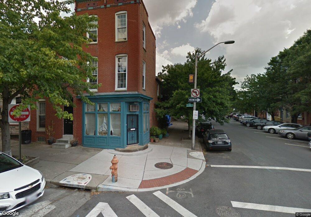
339 S Ann St Baltimore, MD 21231
Upper Fells Point NeighborhoodEstimated Value: $371,734 - $382,000
3
Beds
2
Baths
--
Sq Ft
871
Sq Ft Lot
About This Home
This home is located at 339 S Ann St, Baltimore, MD 21231 and is currently estimated at $376,867. 339 S Ann St is a home located in Baltimore City with nearby schools including Booker T. Washington Middle School, Paul Laurence Dunbar High School, and Digital Harbor High School.
Ownership History
Date
Name
Owned For
Owner Type
Purchase Details
Closed on
Jul 21, 2021
Sold by
A & L Llc
Bought by
Kurtz Joseph V and Obyrne Amy E
Current Estimated Value
Purchase Details
Closed on
Nov 28, 2016
Sold by
Kurtz Joseph V
Bought by
Kurtz Joseph V and Obryne Amy E
Purchase Details
Closed on
May 27, 1997
Sold by
Gaver Sandra L
Bought by
Kurtz Joseph Vogt and Kurtz Cathleen Clarke
Create a Home Valuation Report for This Property
The Home Valuation Report is an in-depth analysis detailing your home's value as well as a comparison with similar homes in the area
Home Values in the Area
Average Home Value in this Area
Purchase History
| Date | Buyer | Sale Price | Title Company |
|---|---|---|---|
| Kurtz Joseph V | $604 | None Available | |
| Kurtz Joseph V | -- | None Available | |
| Kurtz Joseph Vogt | $95,000 | -- |
Source: Public Records
Tax History
| Year | Tax Paid | Tax Assessment Tax Assessment Total Assessment is a certain percentage of the fair market value that is determined by local assessors to be the total taxable value of land and additions on the property. | Land | Improvement |
|---|---|---|---|---|
| 2025 | $6,307 | $322,833 | -- | -- |
| 2024 | $6,307 | $303,167 | -- | -- |
| 2023 | $6,169 | $283,500 | $100,000 | $183,500 |
| 2022 | $6,182 | $283,500 | $100,000 | $183,500 |
| 2021 | $6,691 | $283,500 | $100,000 | $183,500 |
| 2020 | $6,506 | $299,600 | $100,000 | $199,600 |
| 2019 | $6,473 | $299,600 | $100,000 | $199,600 |
| 2018 | $6,572 | $299,600 | $100,000 | $199,600 |
| 2017 | $6,740 | $304,500 | $0 | $0 |
| 2016 | $7,173 | $296,933 | $0 | $0 |
| 2015 | $7,173 | $289,367 | $0 | $0 |
| 2014 | $7,173 | $281,800 | $0 | $0 |
Source: Public Records
Map
Nearby Homes
- 303 S Ann St
- 301 S Ann St
- 401 S Ann St
- 1737 Bank St
- 1717 Gough St
- 1908 Bank St
- 405 S Wolfe St
- 207 S Durham St
- 214 S Regester St
- 510 S Durham St
- 303 S Washington St
- 1800 E Pratt St
- 1740 Fleet St
- 2016 Portugal St
- 1912 E Pratt St
- 1811 Fleet St
- 2050 Bank St
- 121 S Broadway
- 614 S Chapel St
- 1723 E Lombard St
Your Personal Tour Guide
Ask me questions while you tour the home.