Estimated Value: $589,822 - $618,000
3
Beds
3
Baths
2,129
Sq Ft
$284/Sq Ft
Est. Value
About This Home
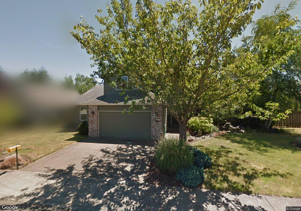
This home is located at 339 SE 10th Ave, Canby, OR 97013 and is currently estimated at $605,456, approximately $284 per square foot. 339 SE 10th Ave is a home located in Clackamas County with nearby schools including Josefa L. Sambrano Elementary School, Philander Lee Elementary School, and Baker Prairie Middle School.
Ownership History
Date
Name
Owned For
Owner Type
Purchase Details
Closed on
Oct 2, 2024
Sold by
Even Better Homes Inc
Bought by
Stotts Hailee and Rondema Cory
Current Estimated Value
Purchase Details
Closed on
Sep 2, 2022
Sold by
Walton Aaron M
Bought by
Walton Family Living Trust
Home Financials for this Owner
Home Financials are based on the most recent Mortgage that was taken out on this home.
Original Mortgage
$3,000,000
Interest Rate
4.99%
Mortgage Type
New Conventional
Purchase Details
Closed on
Oct 15, 1997
Sold by
Walters Homes Inc
Bought by
Howard David W and Howard Deborah
Home Financials for this Owner
Home Financials are based on the most recent Mortgage that was taken out on this home.
Original Mortgage
$137,250
Interest Rate
7.49%
Create a Home Valuation Report for This Property
The Home Valuation Report is an in-depth analysis detailing your home's value as well as a comparison with similar homes in the area
Home Values in the Area
Average Home Value in this Area
Purchase History
| Date | Buyer | Sale Price | Title Company |
|---|---|---|---|
| Stotts Hailee | $150,000 | Wfg Title | |
| Walton Family Living Trust | -- | -- | |
| Howard David W | $171,575 | Stewart Title |
Source: Public Records
Mortgage History
| Date | Status | Borrower | Loan Amount |
|---|---|---|---|
| Previous Owner | Walton Family Living Trust | $3,000,000 | |
| Previous Owner | Howard David W | $137,250 |
Source: Public Records
Tax History Compared to Growth
Tax History
| Year | Tax Paid | Tax Assessment Tax Assessment Total Assessment is a certain percentage of the fair market value that is determined by local assessors to be the total taxable value of land and additions on the property. | Land | Improvement |
|---|---|---|---|---|
| 2025 | $5,977 | $337,380 | -- | -- |
| 2024 | $5,810 | $327,554 | -- | -- |
| 2023 | $5,810 | $318,014 | $0 | $0 |
| 2022 | $5,344 | $308,752 | $0 | $0 |
| 2021 | $5,146 | $299,760 | $0 | $0 |
| 2020 | $5,054 | $291,030 | $0 | $0 |
| 2019 | $4,812 | $282,554 | $0 | $0 |
| 2018 | $4,705 | $274,324 | $0 | $0 |
| 2017 | $4,586 | $266,334 | $0 | $0 |
| 2016 | $4,433 | $258,577 | $0 | $0 |
| 2015 | $4,281 | $251,046 | $0 | $0 |
| 2014 | $5,211 | $243,734 | $0 | $0 |
Source: Public Records
Map
Nearby Homes
- 331 SE 9th Ave
- 423 SE 7th Ave
- 387 SE 7th Ave
- 363 SE 7th Ave
- 385 SE Township Rd
- 201 SE 16th Ave
- 582 S Maple St
- 1409 S Maple St
- 1460 SE 9th Ave
- 575 S Ponderosa St
- 574 S Ivy St
- 486 S Knott St
- 550 SE 5th Ave
- 248 SE Township Rd
- 1143 SE 17th Ave
- 1357 SE 17th Ave
- 325 SW 12th Ave
- 1333 SE 14th Ave
- 1827 S Pepperwood St
- 1821 S Pepperwood St
- 353 SE 10th Ave
- 329 SE 10th Ave
- 334 SE 10th Ave
- 363 SE 10th Ave
- 313 SE 10th Ave
- 358 SE 10th Ave
- 322 SE 10th Ave
- 366 SE 10th Ave
- 373 SE 10th Ave
- 295 SE 10th Ave
- 304 SE 10th Ave
- 359 SE 9th Ave
- 371 SE 9th Ave
- 345 SE 9th Ave
- 374 SE 10th Ave
- 383 SE 9th Ave
- 292 SE 10th Ave
- 383 SE 10th Ave
- 269 SE 10th Ave
- 395 SE 9th Ave