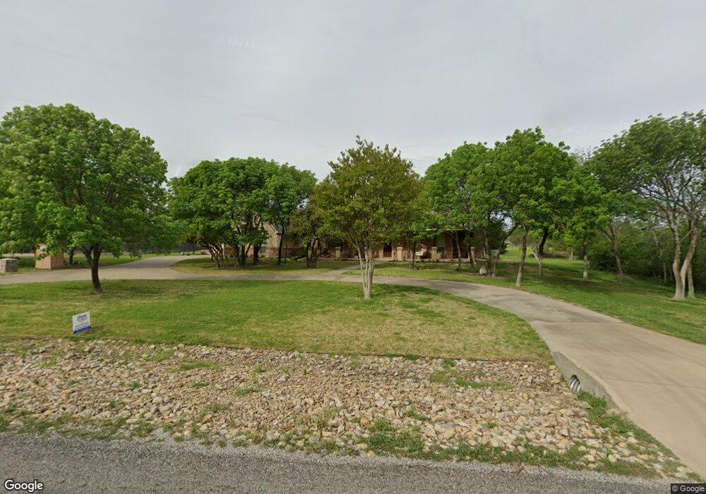
339 Silver Canyon Dr Fort Worth, TX 76108
Far West Fort Worth NeighborhoodEstimated Value: $862,000 - $988,000
4
Beds
4
Baths
4,005
Sq Ft
$226/Sq Ft
Est. Value
About This Home
This home is located at 339 Silver Canyon Dr, Fort Worth, TX 76108 and is currently estimated at $904,176, approximately $225 per square foot. 339 Silver Canyon Dr is a home located in Parker County with nearby schools including McCall Elementary School, Don R Daniel Ninth Grade Campus, and McAnally Intermediate School.
Ownership History
Date
Name
Owned For
Owner Type
Purchase Details
Closed on
Oct 18, 2019
Sold by
Sims Elijah W and Sims Melissa A
Bought by
Fojt Brian Edward and Fojt Heather M
Current Estimated Value
Home Financials for this Owner
Home Financials are based on the most recent Mortgage that was taken out on this home.
Original Mortgage
$495,000
Outstanding Balance
$432,753
Interest Rate
3.4%
Mortgage Type
VA
Estimated Equity
$471,423
Create a Home Valuation Report for This Property
The Home Valuation Report is an in-depth analysis detailing your home's value as well as a comparison with similar homes in the area
Home Values in the Area
Average Home Value in this Area
Purchase History
| Date | Buyer | Sale Price | Title Company |
|---|---|---|---|
| Fojt Brian Edward | -- | None Available |
Source: Public Records
Mortgage History
| Date | Status | Borrower | Loan Amount |
|---|---|---|---|
| Open | Fojt Brian Edward | $495,000 |
Source: Public Records
Tax History Compared to Growth
Tax History
| Year | Tax Paid | Tax Assessment Tax Assessment Total Assessment is a certain percentage of the fair market value that is determined by local assessors to be the total taxable value of land and additions on the property. | Land | Improvement |
|---|---|---|---|---|
| 2025 | $11,349 | $767,273 | -- | -- |
| 2024 | $11,349 | $697,521 | -- | -- |
| 2023 | $11,349 | $634,110 | $0 | $0 |
| 2022 | $11,574 | $576,470 | $75,000 | $501,470 |
| 2021 | $12,516 | $576,470 | $75,000 | $501,470 |
| 2020 | $12,099 | $556,470 | $55,000 | $501,470 |
| 2019 | $12,853 | $556,470 | $55,000 | $501,470 |
| 2018 | $12,333 | $532,480 | $55,000 | $477,480 |
| 2017 | $11,988 | $532,480 | $55,000 | $477,480 |
| 2016 | $10,898 | $464,610 | $55,000 | $409,610 |
| 2015 | $10,360 | $464,610 | $55,000 | $409,610 |
| 2014 | -- | $453,530 | $55,000 | $398,530 |
Source: Public Records
Map
Nearby Homes
- 301 Silver Canyon Dr
- 104 Woodview Creek Trail
- 142 Crown Ridge Ct
- 100 Stone Canyon Cir
- 138 Bluff Creek Rd
- 813 Remuda Dr
- 141 E Bozeman Ln
- 101 E Bozeman Ln
- 200 W Bozeman Ln
- 108 Stone Canyon Cir
- 13823 Llano Dr
- 741 Remuda Dr
- 332 Tiara Trail
- 328 Tiara Trail
- 175 N Boyce Ln
- 109 Arroyo Ct
- 420 Cattlebaron Parc Dr
- 189 Stoney Ridge
- 118 Corona Ct
- 233 Alta Mesa Dr
- 333 Silver Canyon Dr
- 343 Silver Canyon Dr Unit DRIVE
- 338 Silver Canyon Dr
- 106 Live Oak Ct
- 327 Silver Canyon Dr
- 336 Silver Canyon Dr
- 347 Silver Canyon Dr
- 323 Silver Canyon Dr
- 320 Silver Canyon Dr
- 400 Silver Canyon Ct
- 201 N Remuda Dr
- 404 Silver Canyon Ct
- 319 Silver Canyon Dr
- 310 Silver Canyon Dr
- 401 Silver Canyon Ct
- 401 Silver Canyon Ct Unit COURT
- 105 Live Oak Ct
- 400 Oak Bluff Ct
- 408 Oak Bluff Ct
- 408 Silver Canyon Ct