Estimated Value: $107,000 - $136,000
2
Beds
1
Bath
792
Sq Ft
$148/Sq Ft
Est. Value
About This Home
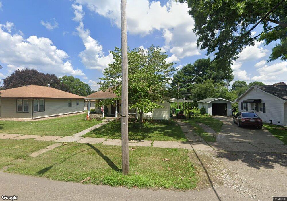
This home is located at 339 Union Ave, Dover, OH 44622 and is currently estimated at $117,605, approximately $148 per square foot. 339 Union Ave is a home located in Tuscarawas County with nearby schools including Dover High School, Tuscarawas Central Catholic Elementary School, and Tuscarawas Central Catholic Junior/Senior High School.
Ownership History
Date
Name
Owned For
Owner Type
Purchase Details
Closed on
Feb 29, 2024
Sold by
Rhonda J Mcbride Revocable Trust
Bought by
Bca 214 Real Estate Llc
Current Estimated Value
Home Financials for this Owner
Home Financials are based on the most recent Mortgage that was taken out on this home.
Original Mortgage
$47,934
Outstanding Balance
$47,146
Interest Rate
6.69%
Mortgage Type
New Conventional
Estimated Equity
$70,459
Purchase Details
Closed on
Jan 25, 2010
Sold by
Mcbride Rhonda J and Mcbride Charle E
Bought by
Mcbride Rhonda J
Create a Home Valuation Report for This Property
The Home Valuation Report is an in-depth analysis detailing your home's value as well as a comparison with similar homes in the area
Home Values in the Area
Average Home Value in this Area
Purchase History
We collect this data history from publicly available records. To have your information removed, we recommend requesting removal directly through your county’s website.
| Date | Buyer | Sale Price | Title Company |
|---|---|---|---|
| Bca 214 Real Estate Llc | $67,400 | None Listed On Document | |
| Mcbride Rhonda J | -- | Attorney | |
| Mcbride Rhonda J | -- | Attorney |
Source: Public Records
Mortgage History
We collect this data history from publicly available records. To have your information removed, we recommend requesting removal directly through your county’s website.
| Date | Status | Borrower | Loan Amount |
|---|---|---|---|
| Open | Bca 214 Real Estate Llc | $47,934 |
Source: Public Records
Tax History
| Year | Tax Paid | Tax Assessment Tax Assessment Total Assessment is a certain percentage of the fair market value that is determined by local assessors to be the total taxable value of land and additions on the property. | Land | Improvement |
|---|---|---|---|---|
| 2024 | $1,534 | $34,980 | $11,150 | $23,830 |
| 2023 | $1,534 | $99,930 | $31,850 | $68,080 |
| 2022 | $1,552 | $34,976 | $11,148 | $23,828 |
| 2021 | $1,383 | $29,281 | $9,107 | $20,174 |
| 2020 | $1,383 | $29,281 | $9,107 | $20,174 |
| 2019 | $1,393 | $29,281 | $9,107 | $20,174 |
| 2018 | $1,249 | $24,820 | $7,720 | $17,100 |
| 2017 | $1,249 | $24,820 | $7,720 | $17,100 |
| 2016 | $1,245 | $24,820 | $7,720 | $17,100 |
| 2014 | $1,141 | $24,510 | $7,720 | $16,790 |
| 2013 | $1,156 | $24,510 | $7,720 | $16,790 |
Source: Public Records
Map
Nearby Homes
- 103 W Shafer Ave
- 120 Prospect St
- 110 E Iron Ave
- 0 Oxford St Unit 5186285
- 1016 Union Ave NW
- 1018 Prospect Ave NW
- 1127 Schell Ave NW
- 610 Karen Ave NW
- 623 11th Dr NW
- 212 Clubside Dr NW
- 744 Baker Ave NW
- 1017 Kaderly St NW
- 214 Poplar St
- 197 Clubside Dr NW Unit 197
- 425 Union Ave NW
- 2902 Downeys Hill Dr NE
- 434 E 4th St
- 919 Chelsea Dr
- 436 Race St Unit A
- 935 E Front St
Your Personal Tour Guide
Ask me questions while you tour the home.