3393 Tatman Coe Rd Mc Dermott, OH 45652
Estimated Value: $65,761 - $133,000
1
Bed
1
Bath
--
Sq Ft
2.3
Acres
About This Home
This home is located at 3393 Tatman Coe Rd, Mc Dermott, OH 45652 and is currently estimated at $92,587. 3393 Tatman Coe Rd is a home located in Scioto County with nearby schools including Northwest Elementary School, Northwest Middle School, and Northwest High School.
Ownership History
Date
Name
Owned For
Owner Type
Purchase Details
Closed on
Mar 27, 2020
Sold by
Goodson William H
Bought by
Stateline Rentals Llc
Current Estimated Value
Purchase Details
Closed on
Sep 12, 2019
Sold by
Crabtree Dennis C and Crabtree Lorrie R
Bought by
Goodson William H
Purchase Details
Closed on
May 16, 2018
Sold by
Vanderbilt Mortgage & Finance Inc
Bought by
Crabtree Dennis C and Crabteee Lorrie R
Purchase Details
Closed on
May 8, 2017
Sold by
Scioto County Sheriff
Bought by
Vanderbilt Mtg & Finance Inc
Purchase Details
Closed on
Nov 9, 2005
Bought by
Shaffer Martin + Mary
Create a Home Valuation Report for This Property
The Home Valuation Report is an in-depth analysis detailing your home's value as well as a comparison with similar homes in the area
Home Values in the Area
Average Home Value in this Area
Purchase History
| Date | Buyer | Sale Price | Title Company |
|---|---|---|---|
| Stateline Rentals Llc | -- | None Available | |
| Goodson William H | $290,000 | None Available | |
| Crabtree Dennis C | $4,500 | None Available | |
| Vanderbilt Mtg & Finance Inc | $8,000 | -- | |
| Shaffer Martin + Mary | -- | -- |
Source: Public Records
Tax History Compared to Growth
Tax History
| Year | Tax Paid | Tax Assessment Tax Assessment Total Assessment is a certain percentage of the fair market value that is determined by local assessors to be the total taxable value of land and additions on the property. | Land | Improvement |
|---|---|---|---|---|
| 2024 | $320 | $7,110 | $6,150 | $960 |
| 2023 | $320 | $7,110 | $6,150 | $960 |
| 2022 | $318 | $7,110 | $6,150 | $960 |
| 2021 | $255 | $5,810 | $5,320 | $490 |
| 2020 | $241 | $5,810 | $5,320 | $490 |
| 2019 | $234 | $5,070 | $4,850 | $220 |
| 2018 | $218 | $5,070 | $4,850 | $220 |
| 2017 | $218 | $5,070 | $4,850 | $220 |
| 2016 | $498 | $5,110 | $4,810 | $300 |
| 2015 | $38 | $5,110 | $4,810 | $300 |
| 2013 | $37 | $5,110 | $4,810 | $300 |
Source: Public Records
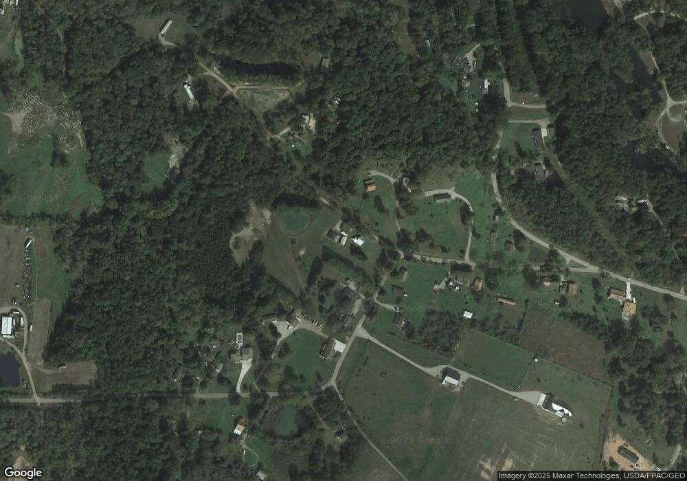
Map
Nearby Homes
- 2515 Mc Dermott Pond Creek Rd
- 246C Rd
- 3153 McDermott Pond Creek Rd
- 0 Owensville Rd
- 133 Crystal Dr
- 525 Martin Cemetery Rd
- 1956 Conley Rd
- 12259 Ohio 348
- 11192 Ohio 104
- 499 Coburn Dr
- 46 Dusty Dr
- 11683 Ohio 104
- 169 Little Cheryl Dr
- 0 Scioto St
- 2840 Henley Comstock Rd
- 283 Scioto St
- 246 Scioto St
- 0 Careys Run
- 13 Cornerstone Dr
- 448 Houston Hollow Rd
- 3393 Tatman Coe Rd Unit H
- 3393 Tatman Coe Rd
- 3393 Tatman Coe Rd
- 3393 Tatman Coe Rd
- 2825 Tatman Coe Rd
- 3201 Tatman Coe Rd
- 3201 Tatman Coe Rd
- 3155 Tatman Coe Rd
- 2482 Pollock Rd
- 2482 Pollock Rd
- 2502 Pollock Rd
- 2528 Pollock Rd
- 2466 Pollock Rd Unit D
- 2466 Pollock Rd
- 2466 Pollock Rd
- 2466 Pollock Rd
- 2466 Pollock Rd Unit C
- 2466 Pollock Rd Unit Q
- 2466 Pollock Rd
- 2466 Pollock Rd Unit F