Estimated Value: $332,000 - $411,000
Studio
2
Baths
2,810
Sq Ft
$135/Sq Ft
Est. Value
About This Home
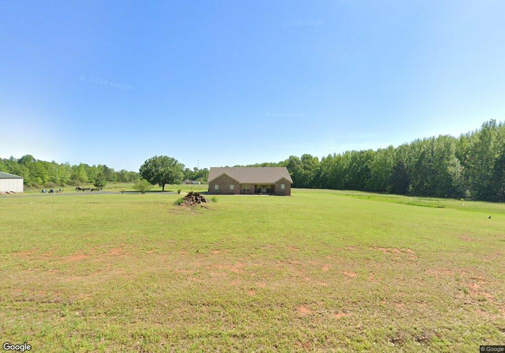
This home is located at 3395 Mount Tabor Rd, Cabot, AR 72023 and is currently estimated at $379,555, approximately $135 per square foot. 3395 Mount Tabor Rd is a home located in Lonoke County with nearby schools including Southside Elementary School, Cabot Junior High South, and Cabot Middle School South.
Ownership History
Date
Name
Owned For
Owner Type
Purchase Details
Closed on
Jan 27, 2025
Sold by
Weathers Larry and Weathers Diann
Bought by
Weathers Patti
Current Estimated Value
Purchase Details
Closed on
Apr 27, 2022
Sold by
Weathers Edward and Weathers Anita
Bought by
Weathers Larry and Weathers Barry
Purchase Details
Closed on
Aug 19, 2003
Bought by
Weathers & Wf 1 Acre
Purchase Details
Closed on
May 10, 2002
Bought by
B&P Rental Prop
Purchase Details
Closed on
Oct 5, 1998
Bought by
Weathers
Create a Home Valuation Report for This Property
The Home Valuation Report is an in-depth analysis detailing your home's value as well as a comparison with similar homes in the area
Purchase History
| Date | Buyer | Sale Price | Title Company |
|---|---|---|---|
| Weathers Patti | -- | None Listed On Document | |
| Weathers Larry | -- | None Listed On Document | |
| Weathers Larry | -- | -- | |
| Weathers & Wf 1 Acre | -- | -- | |
| B&P Rental Prop | $45,000 | -- | |
| B&P Rental Prop | $45,000 | -- | |
| Weathers | -- | -- |
Source: Public Records
Tax History
| Year | Tax Paid | Tax Assessment Tax Assessment Total Assessment is a certain percentage of the fair market value that is determined by local assessors to be the total taxable value of land and additions on the property. | Land | Improvement |
|---|---|---|---|---|
| 2025 | $265 | $5,720 | $5,720 | -- |
| 2024 | $265 | $5,720 | $5,720 | -- |
| 2023 | $265 | $5,720 | $5,720 | $0 |
| 2022 | $1,310 | $52,970 | $7,350 | $45,620 |
| 2021 | $1,310 | $52,970 | $7,350 | $45,620 |
| 2020 | $1,304 | $45,990 | $7,200 | $38,790 |
| 2019 | $1,304 | $45,990 | $7,200 | $38,790 |
| 2018 | $1,329 | $45,990 | $7,200 | $38,790 |
| 2017 | $1,548 | $45,990 | $7,200 | $38,790 |
| 2016 | $1,329 | $45,990 | $7,200 | $38,790 |
| 2015 | $1,543 | $45,540 | $7,070 | $38,470 |
| 2014 | $1,321 | $45,540 | $7,070 | $38,470 |
Source: Public Records
Map
Nearby Homes
- 3709 Sandhill Rd
- 000 Bratton Rd
- 165 Sunset Country Ln
- 114 Bud Ford Cove
- 244 Sunset Country Ln
- 15 Opie Ct
- 000 Opie Dr
- 565 Triple j Dr
- 4484 Sandhill Rd
- 62 Robins Nest Ln
- 320 Juanita Dr
- 151 Hardester Dr
- 485 Pearl Stone Dr
- 1D Forbus Rd
- 322 Southwood Cir
- 15 Scheffler Cove
- 215 & 225 Lemay Loop
- 20 Scheffler Cove
- 10 Scheffler Cove
- 55 Daly Dr
- 35 Romine Rd
- 3352 Mount Tabor Rd
- 10 Romine Rd
- 85 Romine Rd
- 40 Romine Rd
- 3374 Mount Tabor Rd
- 115 Romine Rd
- 80 Romine Rd
- 3436 Mount Tabor Rd
- 120 Romine Rd
- 3556 Sandhill Rd
- 0 Sandhill Rd Unit 23017964
- 0 Sandhill Rd Unit 16005147
- 165 Romine Rd
- 160 Romine Rd
- 3610 Sandhill Rd
- 3666 Sandhill Rd
- 205 Romine Rd
- 3485 Mount Tabor
- 200 Romine Rd
Your Personal Tour Guide
Ask me questions while you tour the home.