33950 Merrill Creek Rd Deer Island, OR 97054
Estimated Value: $428,000 - $497,625
3
Beds
1
Bath
2,048
Sq Ft
$226/Sq Ft
Est. Value
About This Home
This home is located at 33950 Merrill Creek Rd, Deer Island, OR 97054 and is currently estimated at $462,813, approximately $225 per square foot. 33950 Merrill Creek Rd is a home located in Columbia County with nearby schools including St. Helens High School.
Ownership History
Date
Name
Owned For
Owner Type
Purchase Details
Closed on
Oct 14, 2013
Sold by
Fannie Mae
Bought by
Pesch Cheryl
Current Estimated Value
Purchase Details
Closed on
Jun 14, 2013
Sold by
Waterman Kathy R and Waterman Marc E
Bought by
Wells Fargo Bank Na
Purchase Details
Closed on
May 15, 2013
Sold by
Wells Fargo Bank Na
Bought by
Federal National Mortgage Association
Purchase Details
Closed on
Sep 29, 2004
Sold by
Jones Robert A and Jones Liesbeth J
Bought by
Waterman Dean L
Home Financials for this Owner
Home Financials are based on the most recent Mortgage that was taken out on this home.
Original Mortgage
$130,000
Interest Rate
5.76%
Mortgage Type
VA
Create a Home Valuation Report for This Property
The Home Valuation Report is an in-depth analysis detailing your home's value as well as a comparison with similar homes in the area
Home Values in the Area
Average Home Value in this Area
Purchase History
| Date | Buyer | Sale Price | Title Company |
|---|---|---|---|
| Pesch Cheryl | $60,000 | Ticor Title | |
| Wells Fargo Bank Na | $227,025 | Columbia County Title | |
| Federal National Mortgage Association | -- | Columbia County Title | |
| Waterman Dean L | $130,000 | Ticor Title |
Source: Public Records
Mortgage History
| Date | Status | Borrower | Loan Amount |
|---|---|---|---|
| Previous Owner | Waterman Dean L | $130,000 |
Source: Public Records
Tax History Compared to Growth
Tax History
| Year | Tax Paid | Tax Assessment Tax Assessment Total Assessment is a certain percentage of the fair market value that is determined by local assessors to be the total taxable value of land and additions on the property. | Land | Improvement |
|---|---|---|---|---|
| 2024 | $2,312 | $159,976 | $83,426 | $76,550 |
| 2023 | $2,282 | $155,321 | $81,351 | $73,970 |
| 2022 | $2,188 | $150,802 | $78,982 | $71,820 |
| 2021 | $1,987 | $146,418 | $71,048 | $75,370 |
| 2020 | $1,920 | $142,160 | $67,670 | $74,490 |
| 2019 | $1,848 | $138,027 | $71,027 | $67,000 |
| 2018 | $1,461 | $108,249 | $72,509 | $35,740 |
| 2017 | $1,782 | $132,946 | $75,556 | $57,390 |
| 2016 | $1,585 | $115,607 | $74,287 | $41,320 |
| 2015 | $1,236 | $89,284 | $64,734 | $24,550 |
| 2014 | $1,129 | $79,765 | $55,335 | $24,430 |
Source: Public Records
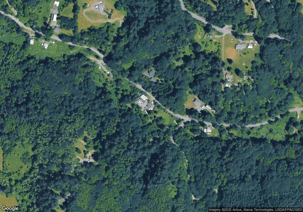
Map
Nearby Homes
- 34521 Big Meadow Ln
- 31100 Harris Rd
- 3305 Park Dr
- 61241 Perry Creek Rd
- 550 Skookum Ct
- 61375 Barger Rd
- 32580 Tide Creek Rd
- 61741 Riggs Rd
- 66502 Doetsch Rd
- 61004 Gensman Rd
- 32698 Berry Hill Ln
- 60750 Robinette Rd
- 2430 5th St
- 2335 5th St
- 30180 Carrico Valley Rd
- 2150 6th St
- 2050 3rd St
- 29975 E Meissner Rd
- 2100 The Strand
- 0 Orr Rd
- 33915 Merrill Creek Rd
- 33828 Merrill Creek Rd
- 34030 Merrill Creek Rd
- 34024 Canaan Rd
- 33988 Canaan Rd
- 33779 Merrill Creek Rd
- 34020 Canaan Rd
- 33769 Merrill Creek Rd Unit BOM
- 33769 Merrill Creek Rd
- 33860 Merrill Creek Rd
- 33860 Merrill Creek Rd
- 33939 Canaan Rd
- 33708 Merrill Creek Rd
- 34015 Canaan Rd
- 33969 Canaan Rd
- 34141 Merrill Creek Rd
- 33580 Merrill Creek Rd
- 33945 Canaan Rd
- 33669 Merrill Creek Rd
- 34115 Canaan Rd