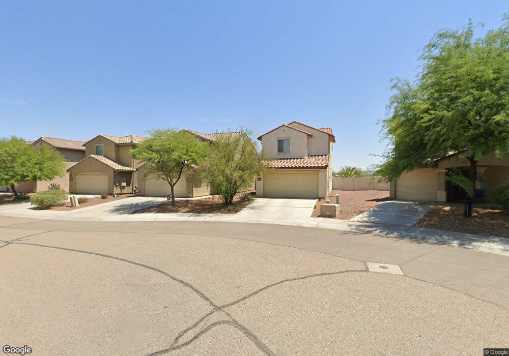
33961 S Bronco Dr Red Rock, AZ 85145
Estimated Value: $265,000 - $311,000
--
Bed
--
Bath
1,708
Sq Ft
$164/Sq Ft
Est. Value
About This Home
This home is located at 33961 S Bronco Dr, Red Rock, AZ 85145 and is currently estimated at $280,850, approximately $164 per square foot. 33961 S Bronco Dr is a home located in Pinal County with nearby schools including Red Rock Elementary School and Santa Cruz Valley Union High School.
Ownership History
Date
Name
Owned For
Owner Type
Purchase Details
Closed on
Apr 8, 2010
Sold by
Pulte Home Corporation
Bought by
Schmidt Ernst Gisbert
Current Estimated Value
Home Financials for this Owner
Home Financials are based on the most recent Mortgage that was taken out on this home.
Original Mortgage
$128,571
Outstanding Balance
$85,250
Interest Rate
4.91%
Mortgage Type
New Conventional
Estimated Equity
$195,600
Purchase Details
Closed on
Mar 1, 2010
Sold by
Schmidt Susanne
Bought by
Schmidt Ernst Gisbert
Home Financials for this Owner
Home Financials are based on the most recent Mortgage that was taken out on this home.
Original Mortgage
$128,571
Outstanding Balance
$85,250
Interest Rate
4.91%
Mortgage Type
New Conventional
Estimated Equity
$195,600
Create a Home Valuation Report for This Property
The Home Valuation Report is an in-depth analysis detailing your home's value as well as a comparison with similar homes in the area
Home Values in the Area
Average Home Value in this Area
Purchase History
| Date | Buyer | Sale Price | Title Company |
|---|---|---|---|
| Schmidt Ernst Gisbert | $126,000 | Sun Title Agency Co | |
| Schmidt Ernst Gisbert | -- | Sun Title Agency Co |
Source: Public Records
Mortgage History
| Date | Status | Borrower | Loan Amount |
|---|---|---|---|
| Open | Schmidt Ernst Gisbert | $128,571 |
Source: Public Records
Tax History Compared to Growth
Tax History
| Year | Tax Paid | Tax Assessment Tax Assessment Total Assessment is a certain percentage of the fair market value that is determined by local assessors to be the total taxable value of land and additions on the property. | Land | Improvement |
|---|---|---|---|---|
| 2025 | $1,546 | $19,748 | -- | -- |
| 2024 | $1,446 | $18,802 | -- | -- |
| 2023 | $1,500 | $16,011 | $1,000 | $15,011 |
| 2022 | $1,446 | $12,598 | $1,000 | $11,598 |
| 2021 | $1,489 | $11,916 | $0 | $0 |
| 2020 | $1,451 | $11,583 | $0 | $0 |
| 2019 | $1,412 | $10,507 | $0 | $0 |
| 2018 | $1,372 | $9,649 | $0 | $0 |
| 2017 | $1,324 | $9,803 | $0 | $0 |
| 2016 | $1,324 | $9,708 | $1,000 | $8,708 |
| 2014 | $1,465 | $8,995 | $1,000 | $7,995 |
Source: Public Records
Map
Nearby Homes
- 21615 E Homestead Dr
- 21607 E Homestead Dr
- 21511 E Prospector Place
- 21385 E Independence Way
- 33743 S Ballad Dr
- 33701 S Presidio Place
- 21595 E Founders Rd
- 21458 E Patriot Ln
- 33915 S Colony Dr
- 21711 E Holstein Way
- 35114 S Iron Jaw Dr
- 21321 E Volunteer Dr
- 34302 S Incus Rd
- 34332 S Incus Rd
- 21224 E Freedom Dr
- 21121 E Legend Dr
- 17065 E Peak Ln Unit 255
- 17065 E Peak Ln Unit 329
- 17065 E Peak Ln Unit 320
- 33728 S Colony Dr
- 33961 S Bronco Dr Unit 630
- 33953 S Bronco Dr
- 33973 S Bronco Dr
- 33943 S Bronco Dr
- 21627 E Homestead Dr
- 33933 S Bronco Dr
- 33925 S Bronco Dr
- 21596 E Homestead Dr
- 33915 S Bronco Dr Unit 2
- 21597 E Homestead Dr
- 21586 E Homestead Dr
- 21586 E Homestead Dr Unit 664
- 21575 E Independence Way
- 33905 S Bronco Dr
- 21587 E Homestead Dr
- 21565 E Independence Way
- 21576 E Homestead Dr
- 21576 E Homestead Dr Unit 665
- 21555 E Independence Way
- 21577 E Homestead Dr